


Snowbound
-
Posts
16 -
Joined
-
Last visited
Content Type
Forums
Blogs
Gallery
Events
Learn About Weather and Meteorology
Community guides
Posts posted by Snowbound
-
-

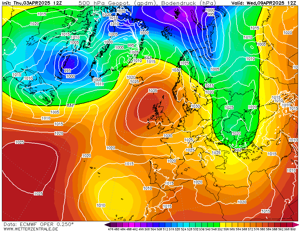
At T84 the low appears to be further away on the colour Fax charts, Im not whilst the upper warm front is unwelcome, If the main warm front was to align NE/SW close to the coast of Kent we could have a hell of a lot of snow ahead of this with a stiff NE wind. This chart does seem at odds to the Met Office forecast which implies the snow moves up from the SSW. Unless they are linking the snow to the Occlusion following the surface warm front. What a messy situation this is. If only that Scandi High could be 400 miles further SW...
-
Having just watched Darren Beat at 5.30Pm he mentioned winds turning ESE on Wednesday with limited or no snow shower activity in the South East, nor on Thursday until overnight when snow will arrive from the South West. Is this everyones take that the snow you get tomorrow will be your best chance if not its a case of waiting until the end of the week for your snow to arrive ? Seems like there is a distinct lack of troughs away from the midlands northwards from the early hours of Wednesday ? Happy to be corrected thou
-
Where did that HP to the west of Ireland appear from ?? Dragging down northerlies over Ireland ?
-
OK, so this is a bit further out, however this ideally would be the track we would hope for this weekend. That said if this passes of around the 6th, it could be quite a wintry event too.
-
 1
1
-
-
Thomas recent forecast shows exactly how precarious things will be towards the end of the week. Although the ECM maybe showing a slight southward correction the problem will be the fronts moving ahead of the low pressure centre. if the Warm sector air in any way gets into the rotation over southern england the rain will become at best a wintry mix, where as what we really need is for the low to move 75 further east and an occlusion to be lying SW/NE across Kent with North easterlies blowing. I guess tomorrows fax will give a more precise insight as to where the fronts will align..
-
3
-
-
I agree with Steven Sussex, its only the far southern counties that climb up to 5 to +7oC... North of the M4 its close to freezing or below. So.. if that big low does track up central western areas there will sure be a lot of snow. :o
-
43 minutes ago, Matthew. said:
Exceptional. Never seen this for real life before
This is why I doesn't sit well as to how the uppers can go from -16oC on Wednesday to close to 0oC by Thursday evening. That is some dramatic warming :o
-
2
-
-
The more recent fax for Monday lunch time has the SW to the north seemingly aiming more for the central or even eastern side of UK, and the 528 dam line has pushed further west a little faster. What would be the effect of this
SW re adjusting eastwards, would it bring a spell of snow from Aberdeen down to Weymouth or in that general direction. ?
-
2 minutes ago, frosty ground said:
That short wave has made it all the way round the high by 162
heading south?That is an incredible Chart. An easterly non stop from St. Petersburg to Newfoundland. That will make for some interesting transatlantic crossings as flights usually fly west an hour quicker than the other direction. Is the High Retrogressing west at T162 . Seems to be sat over southern greenland now as opposed to Northern Iceland which would be the optimal position
-
2 minutes ago, ICE COLD said:
GFS T162 -16 850s widespread in the south ?
In a scenario such as this and the exposed English Channel, if you could be anywhere outside would you recommend venturing to the east coast of the Isle of Wight and/or the Channel Islands?
-
 1
1
-
-
Is there some place I can find out when Thomas Schaffernackers is scheduled to broadcast next for the beeb ? He always seems to cram in so much detail especially
regionally so.. I have a feeling I've seen a schedule somewhere but Id be darned if i can find it.
Cheers
-
Hope this is the right place for this.. Take a look at this Met Office forecast for next week 10 days out. Is it usual for them to post to Youtube like this ?
-
2
-
-
- Popular Post
Brand new post for me, having been an avid watcher for a while now. I have a couple of questions regarding the output showing for next Tuesday/Wednesday. Where I hear
deeply unstable easterly feed being mentioned, and showers convecting up as the bitter cold crosses the north sea to deliver snow showers to the UK. In this scenario, the
air that rises over the sea, which creates the shower clouds, in the air, in the act of rising upwards and creating convective clouds does this not introduce warmer or less cold
air from below, and my question resulting from that, is,.. Is that why the uppers over the UK are lower than Europe slightly due to the air aloft being modified by convective up-draughts ?
Or Does the depth of cold negate that, and if so does that not lead to a collapse of any convection.. Over time would an endless easterly driven series of disturbances lead to the bitter cold
being modified some what or does that only occur if the airflow becomes slacker.. Apologies for the in-depth question.. Im curious about this.. I also saw John Homes mention about the origin
of the isobars and we want the isobars downwind to originate from far to the east. On the latest GFS6z although we have cold south easterlies over us on 1st March, the isobars can be traced back
to the Balearic islands. Is this important? then or day or so later?
Thank you for reading and replies. I love model watching and i am fascinated by the intricacies as well as the fluctuating outputs.
Bob
-
11


Model output discussion - the beast arrives
in Forecast Model Discussion
Posted
If the low flattens to much or stays too far to the south that would put the mockers on a notable blizzard for Southern England. We don't want it too stay too far away !