


Windysun1
-
Posts
105 -
Joined
-
Last visited
Content Type
Forums
Blogs
Gallery
Events
Learn About Weather and Meteorology
Community guides
Posts posted by Windysun1
-
-
23 minutes ago, Summer Sun said:
Just for the history books. Thats about it.
-
26 minutes ago, Tamara said:
The discrepancies are accounted for b/c the MJO is only one part of the total global wind-flow budget. As repeated very often on this thread there has to be analysis of the relationship of the tropics with the extra tropics c/o using the diagnostics from the GSDM (Global Synoptic Dynamical Model). Its another fancy sounding acronym, but it provides data that gives a fuller guide to the global atmosphere and associated jet stream as a whole. The MJO composites used in isolation make too many x+y= assumptions about how the extra tropics might behave in a linear fashion to the MJO based on a given ocean base state. The reality is that the fluxing of the atmosphere is more flexible than that and the extra tropical wind-flow can be disconnected from the tropics at a given time based on inertia lags and variations of directional fluxing of MJO eddies into the extra tropics..
Equatorward fluxing of AAM anomalies within the extra tropics will offset propagating poleward attempts of momentum transport and scramble the MJO composite if used in isolation that doesn't account for the contrary signal within the extra tropics. That is, it doesn't read the disconnect in the extra tropics, it just assumes a typical amplification pathway associated with the base state that the composite was selected upon. On this basis, it is not as simple as MJO propagation through Phases 7,8,1 inevitably = HLB. Each situation has to be taken on its own merits.
Based on readiness for the atmosphere to be conducive to poleward (not equatorward) momentum of MJO +ve AAM anomalies associated with a high amplitude propagation to the Pacific, this is one occasion however where a higher latitude synoptic response is much more likely. As reflected by the Global Wind Oscillation which takes account of the extra tropical wind-flow budget as well as the MJO itself.
Equatorward fluxing on the other hand in stark contrast can produce an inflated sub tropical high response through the same amplified Pacific phases. A good example of this was back in February 2019 - where expectations had widely been for a very strong HLB response (and associated with an SSW).
The converse happened with very mild Springlike weather in the UK.
So basically you cannot forecast with any great accuracy with these signals as there are too many variables?
-
 2
2
-
 1
1
-
-
On 06/01/2024 at 16:28, Geordiesnow said:
Yep it gets there despite the shortwave drama but as I said yesterday, I do find the GFS model the best at picking these up and the UKMO model least likely. Until that is sorted then I'm always skeptical on any potential of decent ridging into Greenland.
That said all the models are consistent with the broader pattern of cold easterly followed by anticyclone gloom NE'ly and then the floodgates potentially opening. The uncertainty will remain how much cold air ends up flooding southwards and how long it lasts for a while yet.
How many have their money on GEM to be correct tonight?
How many hope GEM to be correct tonight?

Seriously would love to see GEM pull it out of the bag. I wonder will we end up with a kind of half way house.
-
1 hour ago, BLAST FROM THE PAST said:
As you know I pm’d you way back in Dec that I anticipated a SSW early Jan ….for me it’s here and happening. I don’t think Cohen is talking about the end of winter is nigh on over here. I’ll stick to my gins, deep cold landing point 14-16 Jan…..bonus with initial thrust for S/SE in t48 hrs….but that will ease….main thrust remains 14-16. This strat warming has/is imo currently being underplayed and will have a big knock on effect. Don’t expect ‘continuous’ deep cold….but
Indeed you did. Infact the UKMO is obviouly seeing something and have greater scope of data than what we have. It usually seems to pain them to mention "snow" They are now throwing it about as if it was Lapland.
As i see it now the initial heights will collapse. The next and very potent energy phase as you say could be between the 14-16. This looks like been more Polar than continental. The longevity is the question this continuous attack on the strat might just be the trigger for extending such a potent spell.
I certainly hope so.
-
Sorry, i know im like a dog with a bone here but what is Judah comments here considering all the signals as posted above. Is it just in reference to the East Coast of the States that he sees an end to winter. Slightly bemused.

-
9 minutes ago, bluearmy said:
Isn’t that NH set up is the current week 2 modelling which is supposed to give us cold
I assume he’s speaking about a strengthening vortex for feb into march and a lack of HLB for spring and summer. Excellent
however, I would have thought the reversals ongoing will lead to repeating downwelling waves to the back end of feb
You could be correct bluearmy but i took up differently.
Infact if you look at the lack of blocking at the end of the ECM run..anemic is putting it mildly. Does it have any relevance to his post i dont know but its certainly disappointing. Il give it to Sunday to see if there is any back tracking.
Im gone off on a bit of a tangent here not toally strat chat. Sorry mods.
-
Not what we want to see to say the least and you would wonder is that what some models are picking up as regards poorer amplification of the GLH...
Although personally i think it might be too early to call anything past 4 to 5 days. Alot going on in the strat ie warming at different levels that the models are still trying to interpret and alot we still dont fully understand about the strat. Complicated situation this science at the best of times


-
1
-
1
-
-
Just now, TSNWK said:
Hello, is there something nagging you on what is currently being progged? That leads you to keep the champagne on ice
Possibly 10 days : )
-
3
-
-
3 minutes ago, Ice Day said:
A rival to 2010 by the end. Stunning run.
19th of January...15 days away!
Pretty to look at.
-
6
-
 1
1
-
-
1 minute ago, Battleground Snow said:
Vortex is splitting early here too,
Come on arctic high push south and link up!
As BFTP said earlier or alluded to there is potential for a Scandinavian High to develop from here.
-
1
-
-
I think the day 9 charts will actually count down from here, unlike previously (and sadly every other time) when the day 9 was tomorrow the next day and the day after...
-
3 hours ago, Cloud 10 said:
Tripol?
-
4 minutes ago, WYorksWeather said:
Don't see what's wrong with the yellow warning for this? Definition here:
What are the National Severe Weather Warning Service Impact tables?
WWW.METOFFICE.GOV.UK
Make sure you know what to do when severe weather is forecastSome transport routes and travel services affected. Some journeys require longer travel times. Some disruption to road, rail, air and ferry transport.
Difficult driving conditions for high-sided vehicles on prone routes, such as cross winds on exposed or high level roads.
A few power interruptions.
Coastal routes, sea fronts and coastal communities affected by spray and/or large waves.
I'd also be interested to know if you'd like to provide an example of a comparable weather event in the past which didn't receive a yellow warning. I would also note that these warnings have been issued in some form or another since 1988.
Im sure he didnt comment to be lectured..and is entitled to his opinion right or wrong.
-
1
-
-
4 minutes ago, LetItSnow! said:
Time for some Christmas mediation in here! Breathe in, bite into mince pie, breathe out.
 Maybe we can manifest 1963's ender. 'o needs Santa!
Meditation might be more beneficial ; ) anyhow merry Christmas to one and all! I think we are in for an Epic January. Dickens wont have a patch on this one!
-
Ensembles will show colder.
-
2 minutes ago, northwestsnow said:
18
12
It can still upgrade. Need another push ( i sound like a midwife
 )
)
-
3
-
1
-
-
2 minutes ago, northwestsnow said:
Mean 18z Xmas eve
mean 12z
big upgrade
What are 850s showing? (sorry not in position to check)
-
1 minute ago, January Snowstorm said:
The control is a stunner, quite similar to the JMA from earlier! Would bring whiteout conditions to most Christmas Eve
More of a NE alignment...
-
8 minutes ago, Sweatyman said:
might get a nice cold day in March if we're lucky
Guys, there is going to be chopping and changing. The cold will be back on the cards again possibly tomorrow. I think we might just miss out for Christmas but could swing our way too.
But personally I think between the 26th and and New Years some places in UK will see snow to low levels.
Trust me im a Limo driver!!
-
1
-
-
JMA usually verifies 9 days out...
-
2
-
1
-
-
3 minutes ago, TSNWK said:
Well I got that wrong.. no push into Greenland… every days a school day…
Yes i dont think we are going to make it TSNWK but there will be cold options on the table just not of great length.
I would be very hopeful of something big in the NY though.
-
Although still some way to go, from what i can see from the latest guidiance is the High will not reach high enough into greenland to prevent a suffient block.
This does not mean all is lost.
There will be strengthening Lows spilling over the top and could actually drag down some polar air.
This could set up some battleground scenarios in favourable positions from the period of 24th to the 27th. Some areas could do very well pending (obviously higher ground) where the battle commences and others could have mucky feet : )
Still chops and changes possible. I think the 20th is D day for Christmas period.
-
1
-
-
5 minutes ago, Dennis said:
mentioned also the +PNA
mostly good support for europe coldies
Indeed, and i think you might find that blocking High forecast for the the 20th/21st (GFS) retrogress further north west by the 23rd.
Possible but obviously nothing guaranteed.
-
17 minutes ago, Mike Poole said:
I like the GFS 12z, reassuring to see it still there as a possibility, after I thought the 0z ops and ensembles were really pretty awful for cold.
Still as genuine chance the models are underplaying the MJO by this timeframe, so power to add (or take away if they are not!).
I’d like to see a much bigger cluster than this morning with this evolution later (think it was 6 members thus morning).
The GFS is trying its best for us..if we could get that high to stretch into Greenland as it is quiet strong at 1045. Has anyone got a good long set of stilts for it ; )
-
1
-


.png.9a73f47454e16f28dabddabf8ab97d2d.png)


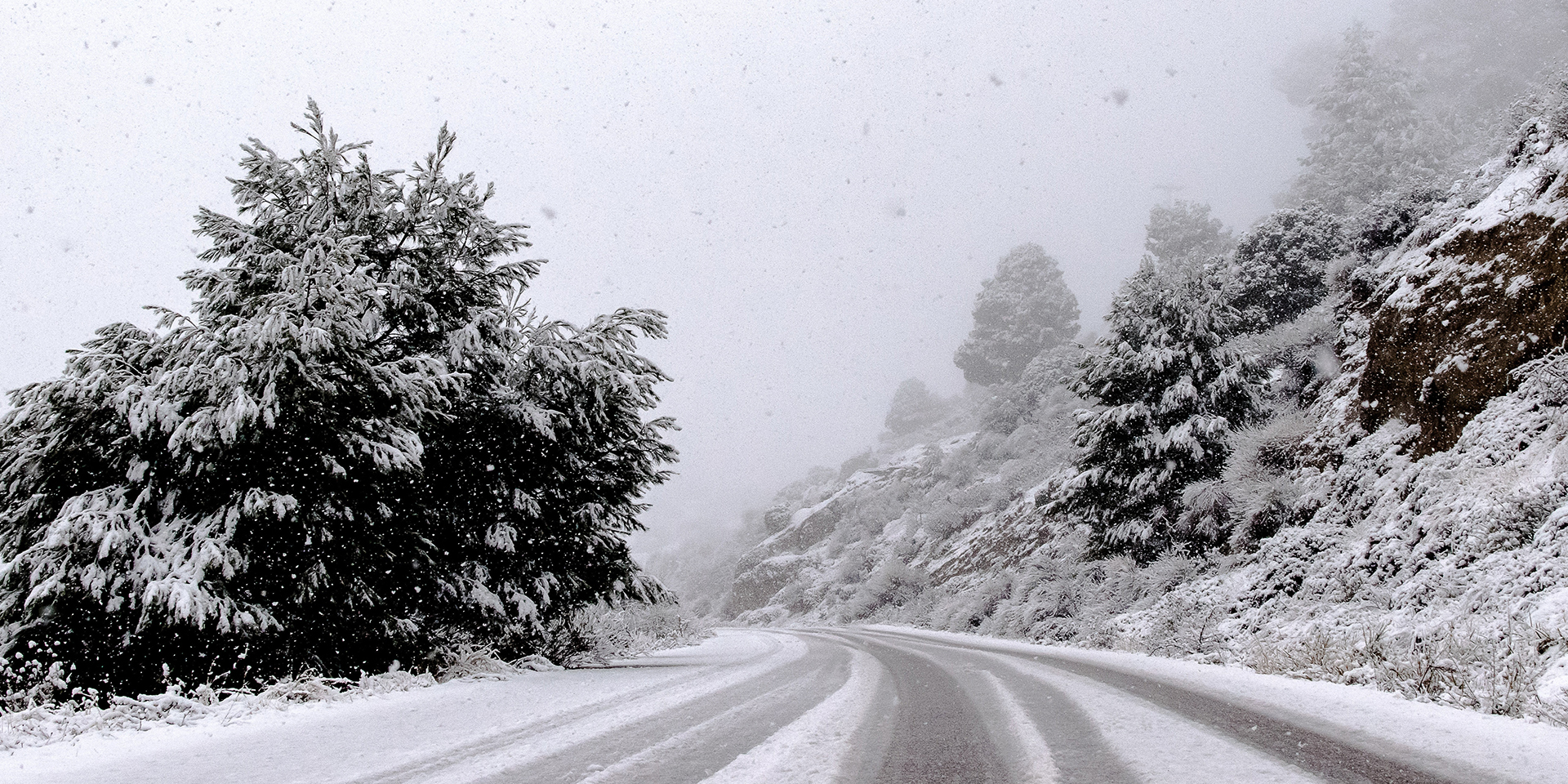


Storm Isha, Amber ⚠️
in Storms & Severe Weather
Posted
Ah thats nice a family day out in ireland..