


Frosty the Snowman
-
Posts
342 -
Joined
-
Last visited
Content Type
Forums
Blogs
Gallery
Events
Learn About Weather and Meteorology
Community guides
Posts posted by Frosty the Snowman
-
-
23 minutes ago, Dkeane3 said:
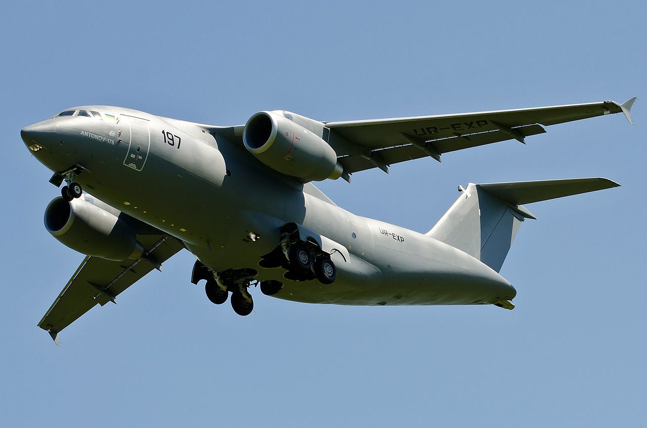
What is it with these daily Antonovs flying overhead at this time?
Likely in relation to this deal between UK and Ukraine, presumably high ranking Ukrainian officials checking places out or progress.
 Ukraine to boost naval capabilities with UK loan
WWW.NAVAL-TECHNOLOGY.COMThe UK is set to loan Ukraine £1.25bn to boost its naval capabilities under a deal that could see British shipyards construct new missile-equipped craft for the...
Ukraine signs memorandum for Antonov An-178 transport aircraft
WWW.ARMY-TECHNOLOGY.COMThe Ukrainian Ministry of Defense has signed a memorandum with Antonov State Enterprise to procure An-178 medium transport aircraft.
Ukraine to boost naval capabilities with UK loan
WWW.NAVAL-TECHNOLOGY.COMThe UK is set to loan Ukraine £1.25bn to boost its naval capabilities under a deal that could see British shipyards construct new missile-equipped craft for the...
Ukraine signs memorandum for Antonov An-178 transport aircraft
WWW.ARMY-TECHNOLOGY.COMThe Ukrainian Ministry of Defense has signed a memorandum with Antonov State Enterprise to procure An-178 medium transport aircraft.-
 1
1
-
-
1 minute ago, jam2010 said:
Can't really work out the radar, moderate snow.
I think there might be energy feeding from that big red blob at the back the radar hasn't cottoned on to, consistently heavier than the radar is saying it should be for the last 10-20 minutes,
-
Just now, Spah1 said:
Too far West in Chorley. Missed the heavy stuff and just got a slushy dusting

More annoying that initially they're was loads heading that general direction and then sudden death of all significant precip.
I'm moving to Buxton
-
 1
1
-
-
Never mind, didn't kill the PPN moved it about 30-50 mile east, even worse,
-
Radar just killed all the heavier PPN before it got this far north, looks like 1-2cm is going to be it.
Still light snow though, shame.
-
Just now, Wardlegacy said:
That’s not quite the same as what has happened though!
Totals in some high ground areas are going to be 10-40cm by the end of tomorrow night, never mind 1-4cm.
Looks like snow during the day tomorrow and potential reload at the weekend.
-
3
-
-
2 minutes ago, Winter Cold said:
Wonder if we'll get a last minute snow warning. Seems to be coming down to all levels, so will catch quite a few out!
If you're expecting it from the met don't.
-
Temps over in the north west were falling from 8/9 to 1/2 in a matter of an hour or so, so if your temps are falling it won't be long.
-
1
-
-
4 minutes ago, Mark88 said:
The strangest amber rain warning ever - I wonder if we will get a new warning - although I guess there current one covers it. On a serious note I really feel for those families having to be evacuated around Didsbury and Northenden - if it all turns to snow at least it may delay some water getting into the river courses as God knows there doesn't need to be any more.
Only really applies if there's no rapid thaw, last you want is inches of snowmelt in those rivers.
Just now, Paul90 said:Why wasn't any of this forecast? worthy of a yellow from the met office this.
If it goes on as long as netweather forecast was suggestion for my area, should have been red. Speaking of which, does anyone know what time the front should fully clear, considering staying up?
-
21 minutes ago, Slidergate '17 said:
Dare I say it but I think we are witnesses to quite a historic event here...
Seems a bit early to call that. So far got just about (quite a wet) covering here with it having turned snowy around 7 to 7.30. Decent elevation (200m)
It would need to get a lot heavier or last well into tomorrow morning/afternoon to come close to historic (bearing in mind we had 4-5 inches of snow here only a few weeks back in that last cold snap)
-
One more event to pile against the 'too wet to settle' argument. 48+ hours of rain and now completely white outside after less than an hour. Nuts.
-
2
-
-
Just now, SnowWatcher2 said:just keeps getting worse.. proper bad this.
Will be snow soon.
-
1
-
-
Bit sleety in low bursts, but heavy precip bundling 50p flakes (about 200m asl).
Temp just needs to drop a few degrees and precip remain that heavy and we'll be buried.


North West Regional Discussion 30 December 2020 onwards
in Regional
Posted
I mean it could be something entirely unrelated, but that seems the most plausible (specially with the Ukrainian military buying a few Antonovs recently)