


virtualsphere
-
Posts
696 -
Joined
-
Last visited
Content Type
Forums
Blogs
Gallery
Events
Learn About Weather and Meteorology
Community guides
Posts posted by virtualsphere
-
-
17.4C and 70mm please.
-
Whoops a bit late. 13.5C and 72mm please.
-
7.6C and 88mm please.
-
 1
1
-
-
Still all to play for based on these snow depth charts from the higher res models up to 6pm Friday, with quite large differences showing, so don't be too concerned over any individual model / individual run - if you're not expecting much, keep an eye on the radar / window tomorrow and you never know...

-
29 minutes ago, LJ1224 said:
For those that remember the 82 snow what was the lead up like to that? Do you guys think it will be similar? Really hoping to see something significant. Have been watching the forum and checking Twitter and forecasts like a hawk.
26 minutes ago, snowy36 said:I dont think i will ever see anything like that in my lifetime , i was 8 and i remember opening the back door and it was a long way over my head,
Plus it was the middle of winter.
Sadly I was only 3 in 1982, though my Dad tells me the snow was over my head and he had to carry me on his shoulders
Some good video footage of the event here: http://www.bbc.co.uk/news/uk-wales-42615172
-
2
-
-
16 minutes ago, Icequeen said:
Don't know how reliable the source but interesting nonetheless
Accumulation pattern fairly similar to the Hirlam model posted earlier - perhaps a bit high as those are for tomorrow only - here are the 48 hour accumulations predicted up to Friday lunchtime: https://www.meteociel.fr/modeles/hirlam.php?ech=48&mode=45&map=430
Compared to the Arpege model which has less in the west but more in the east / mid Wales: https://www.meteociel.fr/modeles/arpege.php?ech=48&mode=45&map=300
Either way, looks like quite an eventful couple of days coming up!
Freezing rain is the other thing to look out for, Hirlam shows rain in western parts in the early hours of Friday.
-
27 minutes ago, bradythemole said:
VERY INTERESTING!
HIRLAM is available to view here: https://www.meteociel.fr/modeles/hirlam.php
Shows perhaps more snow than forecast overnight tonight for central areas of Wales and then more snow towards western parts tomorrow evening and night - so perhaps less of a snow shield here in Carmarthenshire...
-
Is there still any chance of setting a daily CET record for 28th? When was the last time we set a cold record, was it 2010 or do we have to go back further?
-
 1
1
-
-
Could we get a lower minimum in spring than winter, if it's lower tomorrow night than tonight?
-
4.6C and 52mm please.
-
1
-
-
5.7C and 43mm please.
-
1 hour ago, SNOW_JOKE said:
Just in time for rush-hour tomorrow morning as it crosses the UK, i'm looking towards a potential squall-line feature with 'Georgina' as indicative by the double cold-fronts, indicative on the FAX charts which often means a overriding cold-front having embedded convection which will bring those higher gusts to the surface. xcweather going for +70mph from western Scotland down to Norfolk from 6-9am.
Potential squall line nicely illustrated on the MetO forecast rainfall charts: https://www.metoffice.gov.uk/public/weather/forecast/map/#?map=Rainfall&fcTime=1516730400&zoom=6&lon=-2.65&lat=52.48
-
1
-
-
6.1C and 148mm please.
-
-
2 hours ago, Bullseye said:
Top pic shows solar activity during 1932, bottom pic shows the ENSO pattern prior to 1932.
The mention of 1932-33 is interesting. Round here that winter is legendary for producing one of the biggest blizzards the area has ever seen. One thing missing from even the recent colder winters has been a severe individual snowfall event (Feb 2007 is actually the biggest in recent memory; we had similar depths in 2010 but this built up over several days).
-
I'll try 8.8C please, and hope I've gone way too mild!
-
4 hours ago, sundog said:
Certainly another winter for the bin if accweather is anywhere near accurate.
I did mention before - winter 2013/14 -very stormy,2014/15- lack of storms,2015/2016- stormy,2016/2017 lack of storms,2017/2018- storms to return?
My memory might be playing tricks on me but I'm fairly sure 2014-15 was wet and stormy here in the west too. It may not have felt as stormy, being book-ended by two of the wettest and stormiest on record, 13/14 and 15/16, but I'm sure it was generally more cyclonic / zonal than anything from around 2008 to 2012. I remember thinking last year was a welcome respite from storms after several years, despite the lack of snow.
I'm not expecting anything noteworthy in the way of cold this year but we're probably overdue a winter with a short sharp cold snap or northerly toppler after several very mild ones preceded by a few with more significant cold (eg Mar 2013 / Dec 2010) - seems unusual we haven't seen anything in between the two extremes recently.
-
11.4C please
-
Brief power cut here - now back on again after 2 or 3 minutes. Winds really picked up over the last couple of hours.
-
7 hours ago, Timmytour said:
This year's beginning to remind me of 1992
If we get a few nice days at the end of this month, I think my October guess is going to involve thinking it will be a tad chilly!1950 is an interesting comparison also. I'm not old enough to remember, but the data shows a warm June and notably wet September. The August CET also identical to 2017 and overall spring and summer rainfall totals are very similar (June appears to have been more anticyclonic despite the similar CET value).
October 1950 was warmer than 1992 but was much drier after the wet start to Autumn, but like 1992 it then turned wetter into November. Both 1992 and 1950 featured a colder December than we've been used to recently (1.2C in 1950 and 3.6C in 1992).
-
4
-
-
11 hours ago, Yarmy said:
It's worth noting that there was an X9 flare in Dec 2006 (and indeed an X6 the day before) at more or less the same point in the solar cycle as we are now. The current groups are likely at too low a latitude to belong to the next cycle.
Yes, note the general increase in activity at the end of 2006 (crudely highlighted in the graph below) at a similar point in the cycle to currently. Although the graph doesn't yet include September, it looks like we are still on the descending curve of the cycle towards minimum.
To my limited knowledge, even in more active cycles you'd expect to see a greater descent before activity picks up again:
This article suggests we saw the first SC25 spot back in December last year, but that the cycles actually overlap over a 4 year period
http://www.stce.be/node/359..and it's worth noting the comments in this forum which quote the NOAA as announcing the first SC24 spot has appeared back in 2008- before the minimum of 2009/10:
https://www.ssca.org/forum/viewtopic.php?f=5&t=5208Some researchers believe that the next cycle could be more active than the current one, however - e.g. http://www.spaceclimate.fi/SC6/presentations/session2a/Dean_Pesnell_SC6.pdf (slide 13)
-
1
-
-
Since the year doesn't end in 5, 6 or 9 I don't think it'll be in contention for the warmest September, so I'll go with a rather average 14.1C please.
-
On 28/07/2017 at 22:23, Brucie said:
Yes, proper cold winters tend to crop up when we're heading out of solar minimum, not when we're heading in (like we are now). Not saying that this winter will not be cold though. In fact, this current solar descent is proving to be quite rapid and it did not start from a high level of activity relative to previous solar maximas
As always, time will tell.
David, Northallerton
Yes, there was some interesting research mentioned in last year's Netweather winter forecast which showed that the biggest connection between the NAO and solar activity is actually a trend towards +NAO and the declining part of the cycle.
Original forecast here with more info: http://www.netweather.tv/index.cgi?action=winter-forecast-2016;sess=#
Based on the graph, we're still in declining and likely to be until 2019. Winter 2009-10 and 2010-11 both look to have been in the minimum phase, once activity has bottomed out and is very gradually increasing. Interestingly even Feb 2009, the first significant cold spell for many years here, was just after activity had hit rock bottom if I've read the graph correctly.
The other fascinating thing about this analysis is that while many associate solar minimum with a greater likelihood of -NAO and the potential for colder UK winter weather, historically it seems both ascending and solar maximum are just as likely to result in -NAO, this just hasn't occurred in maximum for a couple of cycles.
The isolated dark blue -NAO in the descending phase of cycle 17 is an interesting exception and seems to correspond with winter 1939-40.
-
7 hours ago, Azazel said:
We all know summer will return in September when the kids are back at school and the nights have drawn in considerably so you won't be able to make the most of it. It's just how it is these days.
Yes - it certainly feels like that, and although we don't yet know for certain August will be a washout, the outlook doesn't look promising. Where we have had decent summer weather in recent years it seems to have fallen outside the school holidays.
I don't remember this being the case when I was in school (I remember warm sunny spells in the holidays in 1989, 1990, 1991 and 1995) or the weather improving dramatically in September, so I've had a look to see if I was lucky or if this nasty run of late summer weather is a recent trend / unfortunate coincidence.
Notice in these graphs the lack of any notably below average rainfall in August since 2003:
Recent sunshine average for August is also down:
Temperature is generally up, although with nothing notably hot since 2004:
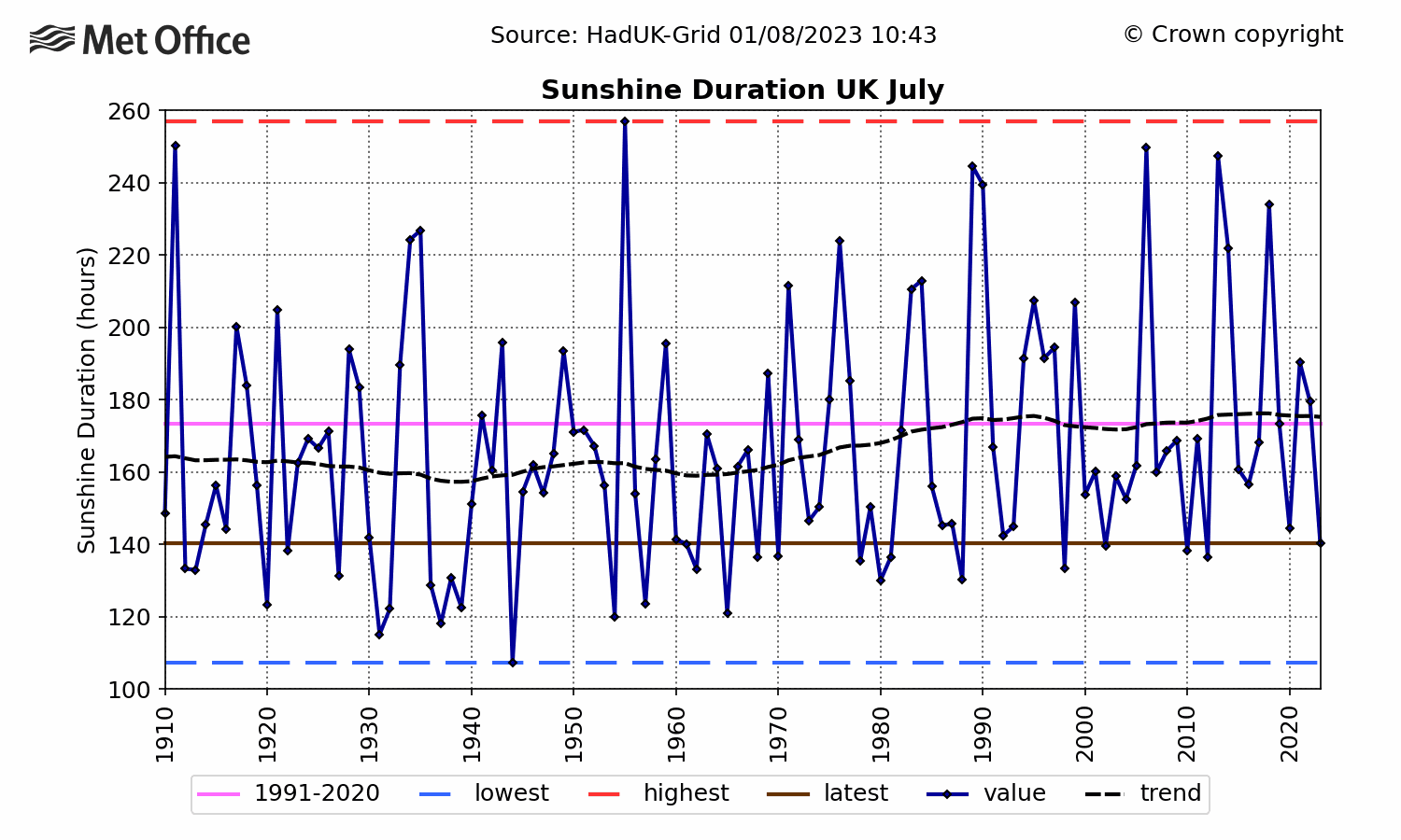
Either side of the main school holiday month, after a poor run of Julys for sunshine between 2007 and 2012 we had two very sunny ones in a row in 2013 & 2014:
...and September sunshine seems to have gone the opposite way to August, with an upward trend and 2008 standing out as the only particularly dull September since around 2001:
We've actually not had a notably wet September since 2000 - in fact September rainfall has been significantly lower since then with 1981, 1982, 1983, 1984, 1995, 1999 and 2000 all being wetter than anything since the turn of the century.
So yes, those kids who've been in school since about 2004 really do seem have been unlucky when it comes to the summer break! The longer term graphs don't show any reason why this trend should continue, though, so hopefully it will even out in the long run... maybe after a wet start August 2017 will buck the trend?
Graph source: Met Office http://www.metoffice.gov.uk/climate/uk/summaries/actualmonthly


July 2018 C.E.T. forecasts and optional EWP contest
in Spring Weather Discussion
Posted
16.6C and 89mm please.