


Ocean Transit
-
Posts
265 -
Joined
-
Last visited
Content Type
Forums
Blogs
Gallery
Events
Learn About Weather and Meteorology
Community guides
Posts posted by Ocean Transit
-
-
Peter Cockroft says that peice of ice won't thaw until February!!

-
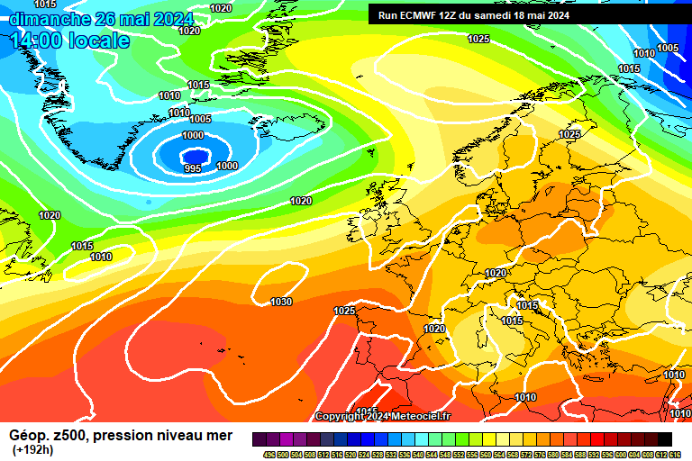
http://www.meteociel.fr/modeles/ecmwf/run/ECM1-192.GIF?06-0
not another channel low *grin*
12Z ECM providing more fun and games tonight
-
ECM running now....
How many years have we been waiting for this kind of set-up at T+72!
http://www.wzkarten3.de/pics/Recm721.gif
Perfection
-
Glad the Kent peeps are joining in
-
Here is your snow Slinky.
http://www.wetterzen...pics/brack0.gif
http://www.wetterzen...ics/brack0a.gif
http://www.wetterzen...pics/brack1.gif
Tomorrow morning looks excellent for us. We then have a couple of troughs moving through although the heaviest of the snow will always be in the E.
Thanks for posting these. Look how close the 510DAM gets before receeding.
Very wintry few days ahead
-
Both GEM(DWD) and GFS in favour of the holy grail for us this weekend.
ECM normally in agreement with GEM.
Looking interesing and that is before tomorrow's dump from the NE!
-
-
Can understand why some (Sky etc.) are concerned
http://www.wetterzentrale.de/pics/Rmgfs753.gif
If that moved East then
-
Looking at longer time charts.sunday onwards... I.E. the faxes..if that big low pressure system get sucked in to the north easterly flow...we will grind to a halt..anybody have any views on this..or any info to show that it will come ourway in a weeks time ???
http://www.wzkarten3.de/pics/Rtavn724.png
There it is over Europe... so close and it could make it!
-
http://91.121.94.83/modeles/gme/run/gme-0-72.png
Know its a few days away but that would deliver like the 80s for many
-
Tomorrow looks very nice for London, SE and East Anglia:
http://www.wetterzen...cs/Rmgfs213.gif
http://www.wetterzen...cs/Rmgfs243.gif
http://www.wetterzen...cs/Rmgfs273.gif
^^12Z run
-
http://metoffice.gov.uk/weather/uk/ee/ee_forecast_weather.html
Doesn't sound too exciting for tomorrow on the latest update
-
I drove through Danbury 30 minutes ago. It wasn't settling and I didn't notice more than 5cm. Roads were wet with massive puddles.
I'm sure other people in Danbury will confirm shortly
-
Over 13CM here in Danbury now and it's still falling at some rate!
-
Strong wind gusts as well now - drifting!
-
Bullseye zones look to be-
Chelmsford down to befleet on the northern side & dartford out to bluewater on the Southern side-
S
Can confirm really heavy snow here East of Chelmsford at the moment. At this rate it looks like to exceed what fell before Christmas!
Need a longer ruler soon.
(Neilsouth - it's coming your way, enjoy!)
-
Total white-out at the moment nr. Chelmsford - massive flakes and even the main roads are struggling!
Lovely
-
Good 6-7CM here in the Essex hills.
T: -0.1C and DP: -0.3C
-
Firm agreement now of the end of the cold spell coming for the South-East:
http://www.meteogroup.co.uk/uk/home/weather/services/ensemble_forecast.html
Still a week away though
-
Haven't seen anyone mention www.weatherbonk.com
Not sure if I trust their forecasts but handy for whizzing around the map looking at web cams
lol my work filter blocks that site for 'adult content'
-
This BBC programme (which is broadcast everytime a little bit of snow falls) always forget something...
...a weather forecaster / met office person in the studio to explain whats happend and whats going to happen.
-
see the met office downgraded the red areas......
No, they expired!
-
Essex streamer is now dying out
-
Stansted Airport has now closed
Temps and dp holding well, still moderate snow


East Anglia & South East Cold Spell Discussion
in Spring Weather Discussion
Posted · Edited by Ocean Transit
Steve,
About Sunday... I'm still concerned about temps/dps. Today for example parts of Eastern Essex (even 10 miles inland and over 100m) temperatures rose to 2C at one point.
Looks good on the models but as kw has mentioned today, I still feel some will be disapointed in places . (sleet etc)