


HammerJack
-
Posts
1,342 -
Joined
-
Last visited
Content Type
Forums
Blogs
Gallery
Events
Learn About Weather and Meteorology
Community guides
Posts posted by HammerJack
-
-
Just got to my car after work. Very very thin layer of ice on the roof. Was not expecting it to be so cold. Sign off things to come hopefully. I'm still holding off tell my children about snow potential. Could not bare to see their sad little faces if it did not snow as I promised. Happy birthday John. The charts are treating you to a great bday treat.ðŸ‘
-
Hope you all had a wonderful christmas. Well I'm defiantly guaranteed snow in 2013. I've just booked a 4 day trip to Lapland next December. My children are counting down the sleeps already! It's going to be a long wait. Just hope we get some of the white stuff here soon. Have a good day all.
-
The rain is starting to beat against my office windows now. Its so dark out there, feeling like it should be 4pm (and home time!!!)
-
Yes. Back up and running. Thick fog here, and plummeting temps. Brrrrrrr
-
I'm having a nice cold beer or two. I love this time of year. Had a slight covering of snow on Wednesday, it's still cold out and the possibility of it getting colder next week. That's a lot better than this time last year. Maybe more snow next week! Mother nature rules, not the computer generate models ⛄
-
Thanks John. I think a lot of the emotions in the model thread are driven by IMBYism. Talking about a break down before it has even started is ridiculous. Let's just enjoy what's going to happen. Hopefully snow for SE and EA ⛄⛄⛄⛄⛄⛄⛄⛄this is why people are getting confused
the met office will create their own data ie fax charts
and have data we do not see
the fax charts only go to 120
early next week still gives us snow potential#
irrelevant to what gfs says
people are talking about a breakdown before it has even started
i will do the update around 11.30 approx
bear in mind the south east is the most favoured spot for the spell
of weather coming
-
I'm keeping out of the model thread, and sticking to our cosy regional one. To much bickering, and conflicting posts it's untrue......😃ðŸ˜ðŸ‘👎☔⛄⚡🌙☀.
-
Just watched the 8.30 forecast. No mention about next week at all. So much uncertainty at the moment.Jay Wynne on bbc news 24 in which i think using the latest charts has said at the best a slight chance of snow showers on tuesday .absoulty ridiculous because one hour and half ago he said heavy snow
-
Toys being thrown again in the model thread. Stay clear of it 😷
-
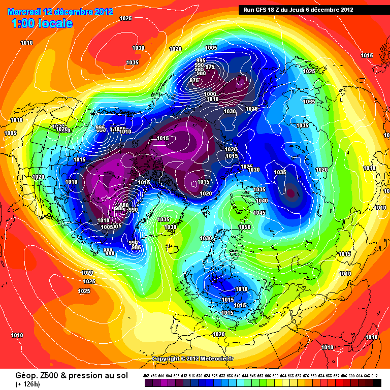
What do you mean Steve? Good or bad?http://modeles.meteo...nh-0-126.png?18
GFS now has the slider shortwave to the SW of the UK moving SE as opposed to South-
we should look flatter & more like the UKMO & ECM tonight
S
Just read the above posts- its like 2001 on snowatch
-
Pouring down here!
-
ECM looking very good for next week. Better dig my thermals out! ⛄
-
The Beast is lurking.... From the BBC
-
Starting to cloud over here now. There is also a very thin layer of ice still covering the lake, from last nights frost & ice.
-
Looking Promising from the MO:
UK Outlook for Tuesday 11 Dec 2012 to Thursday 20 Dec 2012:
Cold weather is likely to continue during the middle of December, with temperatures generally significantly colder than normal for the time of year. Most areas should see plenty of fine, dry and sunny weather, although there is a risk of wintry showers. These are most likely to affect eastern areas at first, but they could become more widespread later in the forecast period, potentially reaching all parts of the UK. There will be widespread overnight frosts, and with these there is a risk of ice forming, especially around showers. There is also a risk of freezing fog forming in some places. Although the UK outlook is for generally cold conditions to dominate, there are some indications of milder, wetter weather affecting some western and southwestern areas at times.
Updated: 1131 on Thu 6 Dec 2012
-
The snow has all but gone here now. Great while it lasted though.
-
Com'on let it snowwwwwwðŸ™â›„⛄⛄⛄
-
Where is he. I love his ramping!Snow is cool.
Can't believe Yamkin isn't here

-
That's my plan StuShould be fairly well placed for this one, so might get up to watch the cricket and the weather
-
Guys,
Any chance of getting the model times please?
Should of saved them yesterday
There you go
-
Good evening all. It's still teeming down here. Been like it for the last hour or so. It's actually quite nice laying in bed listening to the rain beat against the window. 😊
-
Go to charts and data at the top of the page and look for GFS. This should help. You could also use the German site
Thanks!
-
How can I view the model output?
-
what time does it all kick off this evening?
There you go....


South East & East Anglia Regional Discussion - January 9th 2013>
in Regional
Posted
Really clear here tonight. Good for star gazing. You can actually see the Orion belt! But bloody cold though! (Just as I like it)