


IDO
-
Posts
4,732 -
Joined
-
Last visited
Content Type
Forums
Blogs
Gallery
Events
Learn About Weather and Meteorology
Community guides
Posts posted by IDO
-
-
The GFS 18z is not cold for the UK after the mid-week frontal event moving north. At the end of the week, cold and snow never materialises. D7 :

It was just one run, so I would not take it seriously unless repeated, but it was a big turnaround from what the models showed a few days ago.
-
 1
1
-
 1
1
-
-
feb1991blizzard Yes, I give you that!
Lukesluckybunch It is a D10 op so I always expect any northern blocking to be overdone. See the mean:
-
1
-
-
-
The means have been suggesting a UK high at D10 for a while. The three models at D10:
Variations on a theme...
-
1
-
-
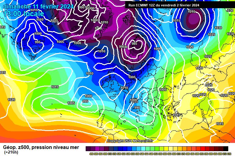
This highlights how up and down EC has been lately:
The first is the 12z, and the second is the 0z—the 12z ties in with the 0z mean and is similar to GFS and GEM 12z.
sheikhy Yes, if you are a gambling person (as I am), then you go with the percentages, and sadly, the 0z was a BIG outlier and very unlikely to be repeated. I was like you and hoping that the maths was wrong! As for the UKMO, look back on my posts to see my thoughts: they consistently undercut every opportunity they can. So, I am very reluctant to believe the 12z without strong support.
-
1
-
-
-
GFS at D11-12 aligns with my thoughts on the potential Feb cold. Later next week would be a bonus for cold for Midlands South. See:
It's too early to get specifics, but we see the UK/Arctic/Alaskan high/ridge(s) again.
The next stage will be retrogression to Greenland. I am not sure Scandi Heights will be a solution; it's just the usual overplay of heights in FI.
-
5
-
 2
2
-
-
-
-
-
3
-
1
-
-
The GFS 06z changing at D7 and moving towards the GEM D7:
With a mini-ridge building from the Azores.
Versus 0z:
-
1
-
-
-
I am talking about "statistical outliers" not whether a member has the lowest or highest data in a set.
You can have more than one outlier in a data set, as pre-agreed measures determine the outlier(s). The other outlier members are not plotted as they are irrelevant as we focus on one important member, the op. The op is a statistical outlier as it is outside the agreed standard deviation, along with other members that are ignored as irrelevant, for the same reason. The other graph showing all members does not show standard deviation, so it is moot for determining what is an outlier.
Saying all this, I hope EC has spotted something and it will be correct, but best to treat with extreme caution as it is rare that we see an EC op an outlier so early in a run.
-
2
-
-
The difference between the EC op and mean at D6:
The op has the LP system tracking east whilst the mean (and GFS, GEFS, and GEM) take it E/NE, delaying the cold front. Also, the EC LP is less complicated than the mean and other models, including the fax chart with no satellite low(s). If it is correct, then one for the EC.
-
2
-
-
Only said that as it is rare for the op to fall out of the standard deviation around D5-6. The EC is notorious for D8-10 outliers but rarely that early.
Sorry, I meant for long-term higher latitude blocking. What comes later next week is not sustainable for snow or for it to remain (see GFS). However, if EC op is correct, then we may get lucky. For example, the GFS snow:
It comes and goes quickly.
-
2
-
-
I think the real action starts post-D14, and we must go through the motions in getting the HL blocking. So the UK high is to migrate NW, and then the Pacific ridge and Arctic high are working in creating the potential for cold & hopefully, snow to lower latitudes.
As I said before, it is a statistical outlier that does not preclude other members from also being a statistical outlier. The op is outside the parameters of statistical relevance.
Yes, weather forecasting is volatile, so the usual caveats. But at this point in time, statistically speaking it has nominal support and should be treated with caution.
-
4
-
2
-
-
I would ignore the EC 0z as it is a clear outlier for 850s for Birmingham north around the time of the snow boundary. Birmingham:
I would say the OP has gone off on one and bin it.
The means still think this is a 3-4 day trough before heights build around the UK and then retrogression W/NW. GEFS D8-16:
The D10 EC mean is similar:
-
2
-
-
-
The 06z is a big downgrade for snow south of the M62, and not really what we want:
06z:
0z:
-
1
-
-
Looking at the GEFS 2m temps, we see the waypoints for where the weather for the south could go:
On day 5, the majority keeps mild, with a cluster bringing the cold boundary further south. As this snow potential is a small window before HP takes a grip, then, to maximise the potential, the D5 change is vital. With GEM and EC going with the majority cluster then, we may have to rely on snow from the back edge of the low at D7-8 in the south. A cold building high/ridge to follow, D9+ for a while:
-
3
-
-
It looks like EC was wrong with its previous runs and now moving to the GEM solution, as GFS has:
12z versus 0z. The ridge splits the flow of LP systems on the jet.
So EC is messy by D10 with a cold UK high within the trough:
It seems unlikely, but who knows? The models are struggling. Though maybe that mini-ridge is more likely now than yesterday?
-
5
-
-
...so by D7 on 12z, there is a 12-18 hour delay for snow down south versus 06z:
The good news is it is just timing!
-
5
-
-
The snow boundary will vary over the next 3-5 days for D6 prospects. Compare 06z -v- 12z GFS:
Midlands is on 06z, and Scotland is on the 12z.
-
3
-
-
This is not a blocking trough; it is a mobile pattern and has been modelled to be a 3-5-day episode as it is eased east. The GFS op is just one end of the spectrum, and I suspect it is overplaying the height rise and how deep the trough drops into N Africa!
The deeper the trough falls the more WAA blows up that Azores mini-ridge. Tone that down and it may resemble GEM to a greater extent.
-
4
-


Model Output Discussion - Spring Has Sprung
in Forecast Model Discussion
Posted
EC faster with pushing the expected UK high in. So at D8:
Versus yesterday's 12z D9. The jet is south, so it is a cold, dry high.
GEM and GFS are close at D8 and nothing like the EC. So models are struggling and your guess is as good as mine as to where we go post D4-5.