


trisnow
-
Posts
251 -
Joined
-
Last visited
Content Type
Forums
Blogs
Gallery
Events
Learn About Weather and Meteorology
Community guides
Posts posted by trisnow
-
-
Something I found a bit interesting here.
This is the model output for the GFS 8 days ago for Wednesday.

And this is it today
Now sure, it's not identical, but it does have the same features in the same places, all be it downgraded. Bear in mind that first chart was out in FI when I saved it a week back Sunday.
Fluke or actual prediction?
I'm confused as ever... they look very very different in terms of the end weather result to my untrained eye??
-
Any analysis of the value or reliability of anything - models or otherwise - cannot be based upon or said to be "proved" by one individual example. Come on, this is hardly controversial! I'm not saying the GFS is NOT flawed.. I'm just stating the fairly basic idea that saying "look, 2 runs, very different. QED" is meaningless. There is a reason that reliability is based on long-running verification statistics and not picking 2 particular successive runs alone.
Where are the verification stats? Does anyone have a link please? I thought I read earlier that the 06 was one of the worst performers?
-
I've read a fair bit about the GFS always eventually plays catch up with the ECM and comes on board in scenario's such as this one but, can someone clarify if I remember this right - Wasn't there a scenario similar to this sometime last year around this time when most of, if not all of the other models were showing cold and lots of snow on the horizon and GFS was out on its own right up until a few days before and then suddenly all the others fell in line with the GFS and it had been right all along? I think it was about the time a member joined here with the username "ThatECM" (due to a particular stonking ECM). The reason this sticks in my mind is that I was doing my usual tendency to read these threads constantly at this time of year looking for clues (as I don't know very much about the charts) and I got my hopes up and was sure it was going to happen because it was only the GFS out on its own saying it wasn't.
-
 2
2
-
-
Am I completely wrong or did the GFS used to update at 9:30am?? Sorry, I only visit here for the winter and can't find where it used to tell you the chart update times as the site has changed since last year. Nice change btw Netweather.
-
I would be amazed if it cleared Cambs by 5pm. If anything im expecting most of our snow to fall from late afternoon into the evening. This pivoting front will grind to a halt to the N of this region before finally sinking S.
Even the radar itself says the BBC are wrong.
Thanks TEITS, do you mean the ppn radar shows it pivoting and coming up to Cam and Peterborough?
-
anyone know of a free forecast radar for the next three hours or so? looks like the band is stalling and not going to make it fully quite this far east as cambridge. is the band expected to pivot and what is showing for london expected to push slightly north east? scuse no caps, on wii u tablet. thanks
-
Looks like the unexpected snow to the west of our region is stalling and not gonna make it much further east.
Enjoy it if you have some! -
Not often I see a red warning for wales especially for snow.
What this blob thing people are talking about? And some front too the west?
Think people are calling the band out to the East trying to come in off the North Sea "The Blob". Doesn't look to my untrained eye it will make it too far inland though? To the west we have an unexpected band of precipitation slowly moving East, whether it is actually all precipitation or just false radar readings is up in the air, although it seems some on here are definitely reporting it as real. Hope all of it is and it keeps coming East!!
-
well i for one find this chart rather odd as everyone else has snowfall over most of the southern half of the uk.
Yeah, that chart looks very different in regards to the MO warnings doesn't it? It also looks out of kilt with the latest runs and has a more Easterly bias for accumulations to my eye?? What does NAE stand for please?
-
Currenly snowing in Milton Keynes... Its due to a convergance zone between east and west winds. Its expanding and edging slowly east.. this was picked up perfectly by NAE 48hrs ago. A suprise bonus tonight before the main action tommorow!
That band, it does seem to be getting bigger and heading East? Do we think it will fizzle out or make it further over our region? I note that it is howing on the raintoday radar but not on the MO FORECAST radar. Although it is showing on the MO Rainfall radar. Unexpected bonus for some?
-
nothing on there site ????
?
http://www.metoffice.gov.uk/weather/uk/uk_forecast_warnings.html?day=3
I'm a little confused as reading this model thread the general idea I get is that the snow is gonna be quite west based and unsure as to whether it spreads to the far East? Is that correct? Is it just the latest 06 run that has shown it going East?
-
12z frame has been modified to show snow transition taking place in our operational version. Ignore raw stuff.
Sorry, what does this mean? Can I view this anywhere? Is their a UKMO 12z precipitation type chart?
-
Its in the Guides section, I will get the link post in here and in the quieter thread as it will soon be lost in here.
Thanks John, maybe a suggestion to mods is if we put the link in the yellow quick links section for people? Maybe save them asking in here?
-
hi Nick
Yes this thread moves at such a pace so tks for that but I had read it.
Interesting I confess never to having read the particular area forecast but it does give a flavour to all of us on just how complicated this winter seems to be turning out. It is also a plus to folk like chio that the high levels in the atmosphere are now being regularly quoted by the professionals. 10 years ago I am certain this would have been unthinkable. Complex as you say but probably a colder rather than a mild term outlook for the UK, say in the 6-15 day time frame. Who knows beyond that. And of course the detail on the next 6 days will lead to many mood swings in here I would imagine. Will it snow? Yes for many, when, where, how much, think in terms of 24 hours for any real detail and possibly as little as 12 hours. If folk can accept that then less risk of 'toys out of prams' at regular intervals.
John, sorry to post this here. Could you point me in the direction for your snow guide please? Is it pinned somewhere? I can't locate it. Thanks.
-
Can anyone explain please why the MO and BBC forecasts seem to show little in the way of snow for anywhere really for this weekend? If you look at the whole UK map, there only appears to be a few snow showers sparsely scattered around over the whole weekend.
Is that in reality all we can seriously expect do we know? I ask as in the main model thread I see some folk suggesting a lot of snow?
I'm down in Cambridge so Eastern/South East.
Thanks in advance.
-
Can anybody explain what this means in complete newbie terms? A poster called Iceberg said this earlier :
"First off we've got the GFS; probably not as good as the 06Z beyond the reliable and that doesnt matter tbh, upto T144 we should see some good continuity hopefully.
Then Meto and the smaller models, again an inch towards the 06 GFS would be good.
Finally the ECM, A little birdy has told me that the the 12Z and 00Z ECms from the last two runs had a very different 300-100mb temp profile across sections of the atlantic sourced from a sat sweep (one sat sweep for both), the 12z today should be the first ecm with a new updated sat sweep and my gut tells me that ecm will revert to GH height rises in the medium term."
Does that mean that the ECM had the wrong data fro the previous two runs and that is why there is a big turn around?
-
I've changed to watch him.......fingers crossed
BFTP
I also rushed to find BBC Points West when I saw this and Ian did us proud! lol Even going so far as to say that the rain icon they were showing for saturday may not be representative of what will actually happen according to the very latest models that have just come out that are a lot more wintry! Whoop!
-
copy of post in the model thread reviewing the 500 mb anomaly charts this year
Thanks John. Great for me as someone unable to understand it all.
-
7 degrees on Saturday in Cambridge according to the evening BBC weather? I thought the models were saying it's gonna get ccooold!
-
To my completely untrained and novice eye does the jetstream forecast look better for us around next weekend? Is that the best way for a novice to see if the Atlantic is being held at bay? Thanks.
-
Wikipedia should divert the link for the definition of' bipolar' to this thread! Some comments are that polarised about one same frame it leaves us folk who haven't a clue how to read charts flummoxed!
But, we can't read charts so thank you enlightening us I should add.
-
Did the models spot this? Just woken up in Cambridge to this! Happy times
-
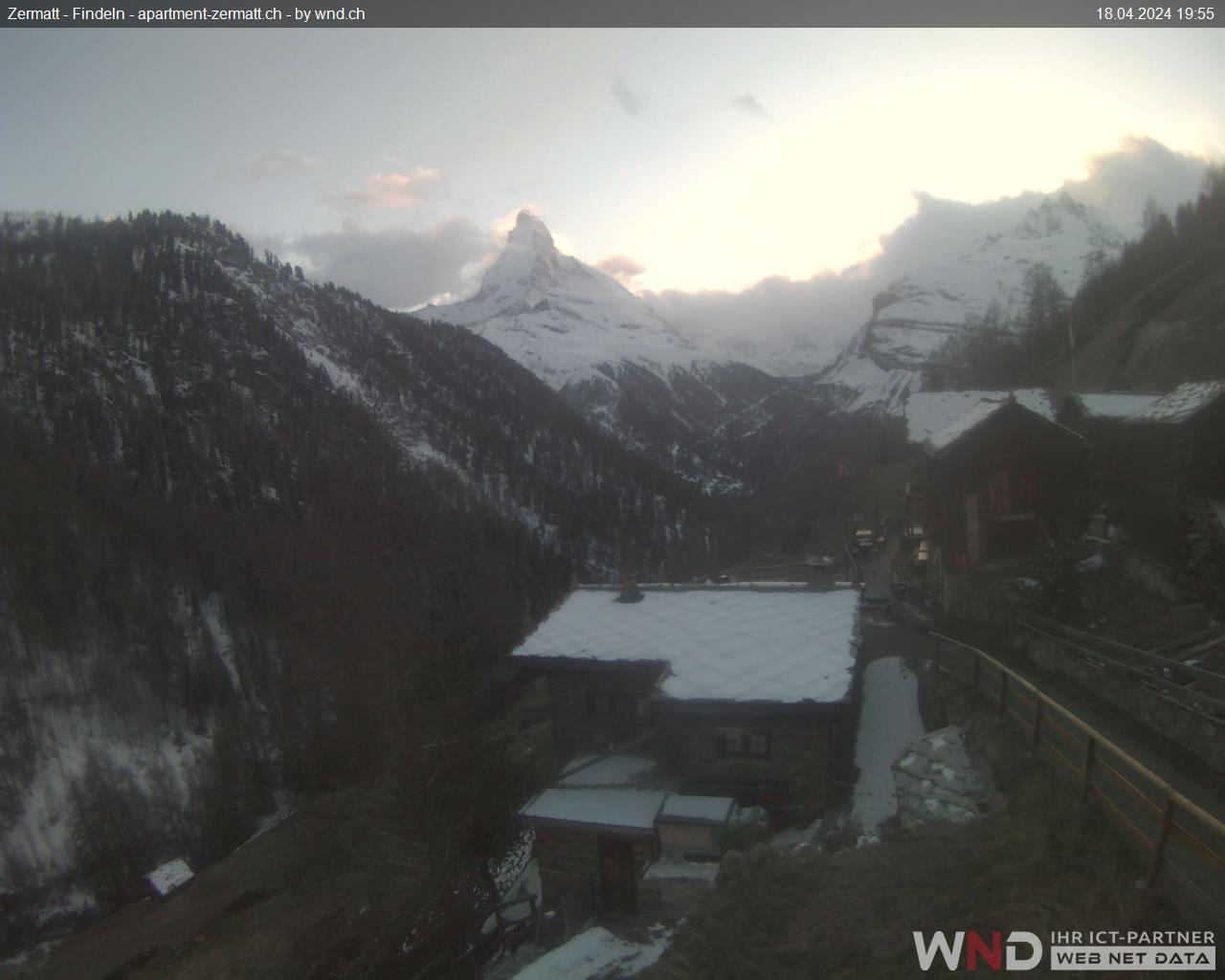
Search Google Play for weblivewallpaper (all one word) and install. I use a pic of Zermatt in the settings. http://www.zermatt.ch/html/bergbahnen/webcams/findeln.jpg
Or you can choose any other as long as you know the full link for the image.
-
Following on from my earlier pic... it's still coming down in parts of the Alps! Love seeing the first snows arrive there. It means Winter ain't far away.


 Enjoy it if you have some!


Model Output Discussion 18th Nov.2013-12z onwards.
in Forecast Model Discussion
Posted
Could you explain this a little more please SNOWM4N (or someone else) for those of us who don't understand what it shows? Thank you.