


There's a storm a coming
-
Posts
45 -
Joined
-
Last visited
Content Type
Forums
Blogs
Gallery
Events
Learn About Weather and Meteorology
Community guides
Posts posted by There's a storm a coming
-
-
What does seem to stand out with the models is that what ever happens in the short to mid term with block orientation/low sliding etc we still seem to end up with some form of easterly by the 10th....just not sure how cold it will be
Tasac
-
 2
2
-
-
As Steve M said we may need at least 2 cycles to get the real cold here and by the looks of the ecm he could be spot on
Tasac
-
At 168'hrs the ecm has the Scandinavian high just gobbling up the Azores high!...
Tasac
-
1 minute ago, Allseasons-si said:
Give the ecm a chance......the run hasn't finished yet....jeez.
I Agree! But where is this run going? The next few frames could be interesting!
Tasac
-
Is the ecm following the UKMO with the high slowly slipping southwards into Europe? We need the low pressure to slide under pretty quickly to hold its " saggy bottom up" and push them cold uppers westwards and not northwards
Tasac
-
5 minutes ago, warrenb said:
GFS on it's own at 144 with both GEM and UKMO going with azores link up
And as been discussed on here plenty...that will lead to the UKMO outlook of mostly dry weather moving in and any fronts decaying in the west...it will also turn colder as winds swing round to the south east. I must admit tho. That is a mighty big block on the 144hr ukmo
Tasac
-
1 minute ago, radiohead said:
Day 10

Looks a corker at least a 3 day cold spell longer if the high can merge with the Russian one
Tasac
-
1
-
-
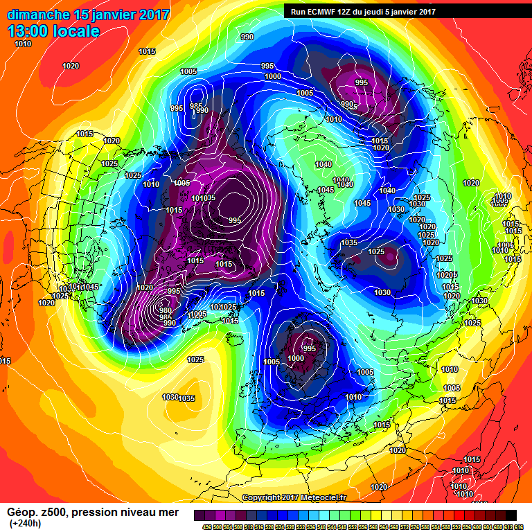
ECM 192hrs looks good and heights trying to push towards Greenland
Tasac
-
1 minute ago, Singularity said:
It's a deep low but look at the orientation of the trough-ridge combo.
The low should disrupt and heights tend to rise N of the UK. Lets see if GFS can handle that...!Unfortunately GFS can't handle it! The last couple of days GFS had been churning out great FI but today seems to have gone downhill with the dreaded Azores high just not leaving us alone
Tasac
-
So the UKMO follows its morning run with lows passing over the north of Scotland and then diving into Europe and the Azores high still close by to the sw...good for the northwest as this will bring cold air and snow showers.
GFS seems to be following the script also up to 144hrs
Tasac
-
13 minutes ago, knocker said:
The NWS the ecm their take on the 6-10
So if I read that right they are happy with the pattern across most of the usa apart from the southeast corner where there is a mod to high spread...typical that that's the bit we're interested in.
looks like the GFS 18 has moved a little closer to the UKMO and ECM although it's still a bit quicker
Tasac
-
1 minute ago, nick sussex said:
Thanks, it would be great if the stingers at the UKMO just gave us the full UKMO output at T168hrs. In terms of next step we'd probably expect some trough disruption as the troughing over Greenland moves east so probably low pressure angled nw/se into the UK. I think at the moment its hard to see a true easterly flow. Possibly the best outcome would be a battle ground scenario.The thing to look out for if the UKMO is too bullish is taking the more middle ground scenario of the ECM and if the ridge to the east can extend over the top of the troughing over the UK at T168hrs.
Of course we do need the GFS to backtrack from its flat pattern. I'd be shocked if its correct because we're not even talking a shortwave drama, its simply upstream with the low track further west and deeper closer to the east coast USA and that ridge to the ne. This is all within T96hrs.
Thanks nick for your reply and thoughts, I'm sure the GFS will start backtracking most probably starting with the 18z. As it all starts on the southeast coast of USA is there any news from them on what model they prefer
Tasac
-
4 minutes ago, nick sussex said:
I've done my best guess looking at the limited view of the UKMO at T168hrs. Its likely that the Russian ridge backs west in between the low over the south of the UK and low heights to the ne. The ridge is likely to mean a se flow over the eastern North Sea. I've probably got the ridge influence a bit too far west into the UK but you get the idea. The deep troughing over Greenland we can tell by just enough from the limited UKMO view that the isobars are curving ne to the west of the UK.
Looks a good guess for what the 168hrs shows but more importantly what do people think the next step would be?
Tasac
-
After my last comment I thought I would just hang on and see what the 192 showed...glad I did as next low is diving southeast...but I can't believe what I'm seeing a low pressure developing in the western med! ...
Tasac
-
1
-
-
I've seen enough up to 168hrs anything after this is la la land at the moment especially with the wild swings happening with the models...not including the UKMO in that as it's by the way the best performing at the moment.
Tasac
-
At 144hrs it has followed UKMO and the low pressure is sliding southeast and bringing in a Nwesterly
lets see what the next few frames will show
Tasac
-
2 minutes ago, nick sussex said:
The ECM is a middle ground solution at T120hrs, not as good as the UKMO upstream but importantly to the east has that strong ridge from Russia which should block the jet from rushing east and divert this se at T144hrs.
If it does then it will be interesting what happens next up to day 8 or so as this would be the same way the UKMO might have gone. Interesting viewing
Tasac
-
1
-
-
1 minute ago, nick sussex said:
The ECM at T96hrs is closer to the coast with the developing shortwave over the se USA than the GFS and better to the east with the Russian ridge.
At 96hrs it looks almost identical. Let's hoping the ECM follows the UKMO at 120hrs I believe it will....come on for Steve's sake....sorry for all our sakes
Tasac
-
2
-
-
20 minutes ago, Steve Murr said:
This is because all of sudden the GFS is seeing a ridge ahead of the low @120 which prevents the eastward spread of the mild air-
expectation as long as the UKMO holds is for that to back west as per yesterdays post....
Hi Steve. Big joe B on twitter believes the UKMO is the closest to what he thinks will happen on the east coast...he says big storm for them?
Tasac
-
3 minutes ago, Jason M said:
Yup, day 10 and beyond as always. ECM likes a bit of day 10 amplification and GFS often enjoys a Greenland high scenario in FI. Get a chart like this at day 8 and I might start to get interested (only slightly though).
You've got to give " credit were credits due" the GFS is very persistent in giving us this set up tho
Tasac
-
1
-
-
1 minute ago, Steve Murr said:
So the first move from the GFS to allign towards the 'potential'
- note the sharpening of the trough at 174, look for more over the next 24 hours to support further pattern change as highlighted earlier
Thanks Steve. Your posts are so informative and easy to follow. Just perhaps it is the signs of a change I for certain will keep an eye out tomorrow for further enhancements
Tasac
-
4
-
-
So the ec46 continues its quest to see us in a position where we would be looking east for our weather...blocking to the north and lower heights to the south and low temps especially the further south you live. As Essex weather has quoted on twitter there is also 30% chance of it becoming very cold. Wish we could get fergies thoughts on it.
looking at the GFS & ECM they both give hints that perhaps we are moving towards the ec46 position but still some " work is to be done" before we do.
the hope of the day via bluearmy must be ......the sceuro low anomalies back west
Tasac
-
3
-
-
ECM seems to be pushing everything a little to Far East. Hopefully over the coming days some correction west will happen. But at least GFS and ECM agreeing with the northwest flow over us and the jet diving se into Europe. We just need the high pressure to slip away westwards as well, it just ssems to want to continue its " love affair" with us
Tasac
-
GFS op following the GFS det. In FI with deepening low pressures driving across Scotland and then into Europe bringing a cyclonic cold spell to us. I think this looks like the way forward next week what happens next is still " up in the air"
lets see what the ECM brings later
tasac


Model output discussion 25th Jan - The final third of winter beckons..
in Forecast Model Discussion
Posted · Edited by There's a storm a coming
Yep! The next few frames were very interesting....cold uppers flooding west towards the uk. Let's wait until the ensembles and see where this run sits. Let's just hope it's not the start of the high being forecast more into Europe like a few weeks back.
Tasac