


Abyss
-
Posts
403 -
Joined
-
Last visited
Content Type
Forums
Blogs
Gallery
Events
Learn About Weather and Meteorology
Community guides
Posts posted by Abyss
-
-
Squally thundery shower just now in Donegal. Lights flickering

-
3 hours ago, Sparky72 said:
From a wet and rainy ski resort in the alps..... It's not just at home we don't get the weather we want!
Jesus. Hopefully it picks up
-
14 minutes ago, mountain shadow said:
But those were wrong were they not? The blocking did not happen.
Exactly. That is my point. I provided those to illustrate it. That's why I said they were over rated and they didn't amount to anything. The background signals were wrong so I don't treat them like gospel like most do.
-
 1
1
-
-
13 hours ago, mountain shadow said:
Im not buying it. It goes against all the background evidence which should show the opposite, such as strengthening PV, weak MJO and negative angular momentum.
We shall see soon enough.
Fair enough but the background signals didn't amount to anything so far this Winter,over rated IMO.
A post from Fergie 14th Nov
" Worth adding that latest EC Monthly again raises GPH/MSLP to our NW with mean N'ly flow as we switch into Dec. Interestingly it then also develops (2nd week Dec) quite marked -ve GPH anomaly from Scandinavia to the UK, coupled to equally marked -ve MSLP across S UK and directly eastwards into adjacent NW Europe, with attendant appearance of +ve PPN anomalies by that stage. Fascinating times indeed.."
Again on the 28th
"EC Monthly consistent with Glosea and it's last runs. Strong resurgence of +ve MSLP/GPH anomalies north of UK further into Dec, especially Xmas week, with marked -ve temp anomalies developing across adjacent contiguous Europe as N'ly flow veers to mean easterly late Dec. Good to see both suites in such firm agreement, despite inherent issues of confidence at such lead time."
-
8 hours ago, Neiller22 said:
I actually think these warnings may be downgraded or removed altogether for Ireland.
STATUS ORANGE
Wind Warning for Coastal regions and high ground of Donegal, Galway and Mayo
Very windy on Friday: Southerly winds, later west to southwest of 65 to 75 km/h with severe gusts between 100 and 120 km/h.
Issued:Wednesday 21 December 2016 10:00
Valid:Friday 23 December 2016 06:00 to Friday 23 December 2016 18:00
STATUS YELLOWWind Warning for Rest of the country
Very windy on Friday: Southerly winds, later west to southwest of 50 to 65 km/h with gusts between 90 and 110 km/h, strongest on exposed coasts.
Issued:Wednesday 21 December 2016 10:00
Valid:Friday 23 December 2016 06:00 to Friday 23 December 2016 18:00But yeah pretty pitiful compared to what could have been.
-
Further South on UKMO. Track and intensity far from nailed down yet
-
1
-
-
STATUS YELLOW
Weather Advisory for IrelandA potentially stormy spell of weather is likely later this week and over the Christmas weekend. In particular, Friday looks like bringing stormy weather, with the north and west most at risk, but the details are still uncertain at this stage.
Issued:
Monday 19 December 2016 13:00
Valid:
Thursday 22 December 2016 12:00 to Monday 26 December 2016 23:59
-
2
-
-
met.ie THURSDAY: A cold day with early morning showers tending to retreat back to Atlantic coasts - some hill snow occurring across the far northwest through the day. Becoming mostly dry elsewhere with sunny spells and light southwest breezes. Highest temperatures of just 4 to 8 degrees, coldest across Ulster and north Leinster. Frost for a time early in the night.
FRIDAY: Present indications suggest stormy conditions will occur, very wet and very windy, with warnings likely to come into operation. Relatively mild with highest temperatures of 9 to 12 degrees.Ingredients are there for a deep storm this week. It's just a case of wait and see
-
1
-
-
Met office update for NI-
Outlook for Wednesday to Friday:
Turning colder with blustery wintry showers on Wednesday and Thursday, some snow to lower levels at times in the west. Heavy rain and gale or severe gales on Friday.
Updated at: 0234 on Mon 19 Dec 2016
-
3
-
-
53 minutes ago, Sperrin said:
Surely we'd get snowfall with those uppers, abyss?
I'd say a decent chance of seeing snow(falling at least) for the NW this upcoming week. 170m asl you have a better chance than most
-
1
-
-
-
It's kicking off again in there lol
-
1
-
-
4 minutes ago, booferking said:
Dont write that in the model thread they will be after you with pitchforks. Funny old bunch in there
I got 4 highly strung pms for saying I didn't believe in long range FC's. Sensitive bunch is more accurate
-
2
-
-
-
6 minutes ago, ForeverPomeroysnow said:
The ECM has us in the firing line Abyss perhaps it would be best to cook the turkey on Christmas Eve....
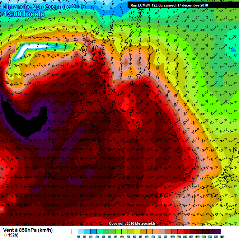
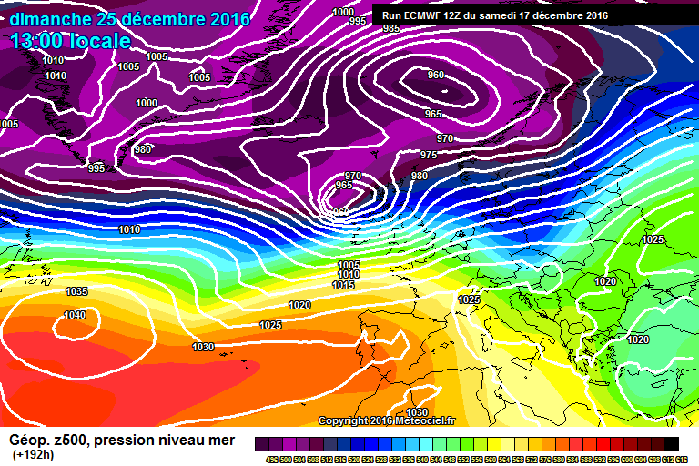
Aye. Would be a red alert for sure if it verified. Winds over 100mph just off the West coast at 1pm Xmas day
-
Santa will have a turbulent ride
-
1
-
-
22 hours ago, ForeverPomeroysnow said:
Hard to believe that was 18 years ago lad's!!!
I remember I had just turned 9 the week before. I was watching Honey I shrunk the kids and TV kept going on and off haha. My dad had to collect my brother when it was starting to get out of hand, I remember watching out the window as he fell in to the garden ha. We had no electricity for 4 days, trees felled, slates/Debris all over the street etc. I remember total darkness and flashes of lightning with hail/sleet battering off the window and listening to the Battery powered radio I had just got ha. That's what turned me in to a weather nut but always had an interest before. Met.ie have a nice account of that storm. http://www.met.ie/climate-ireland/weather-events/Dec1998_Storm.PDF
Malin Head gust 110mph
Castlederg 97mph for an inland station is quite something
Totals for Finner Camp are sadly just estimates.
-
3
-
-
2 hours ago, Tamara said:
The downsides (as well as the upsides) of the way forward for the start of winter into beyond were highlighted before the long range models started to move away from the predominant blocking signal to the NW - which had been well advertised at the end of November. I alone have spent the last week, at least. repeating this because it was either being selectively ignored or because it hadn't yet snowed as (allegedly) had been promised). .
Which illustrates well the point that Catocol makes, that the MJO, GWO, OJO-flip blah blah are only deemed useful to some when the models (who derive their input from these signals in the first place) support the synoptics the majority hope for.
If these "global signals" are a subject of mystical folklore, unless it suits, then it will have to be forgiven the reaction that comes back from others who value them for the true purpose they provide in terms of giving a heads-up where NWP may evolve in the future. Its not the messengers fault if they don't eventually promote raging blizzards.
I neither profess myself in the slightest to be any special expert, soothsayer or have some clever inner perception that none else possesses, but what is frustrating is to keep seeing these misrepresented perceptions endlessly peddled - especially when you know that a balanced analysis has been attempted..which says as much about what can go wrong (according to the uncertainty of the "global signals") as can go right.
Speaking personally I've had to resort to even signposting where a post was deliberately taking a upbeat stance and the cautious "what might go wrong" stance. That should never be necessary - people should be able to read between the lines themselves before pulling the trigger.
In that sense I am most fed up of the constant misrepresentations and the obvious fact that the posts haven't even been read properly in the first place before response made. They are meant to be taken as on-going summaries which are meant to illustrate transparency in the first place. If the intent was to somehow try to be clever and or just soley want to tell everyone what they want to hear, why bother to invest time and energy into setting out the posts this way in the first place?. Its as much about seeing what doesn't go according to plan, as it is about seeing what evolves according to expectations. If trying to be the pied-piper was the intention, then I think there would be better reason to be hung out to dry.
Its because the GSDM (incorporating both tropical and extra tropical signals that have a massive effect on global weather and jet stream pattern) can help give a starting insight to NWP that matters. Its not about the type of tiresome neanderthral LRF competitive one-upmanship that permeates this thread every winter.
Speaking personally I don't even do LRF'S
Its also unfortunately the same (relative minority) of armchair critics that turn out as part of this tedious, unconstructive and divisive process - when expectations and hopes are not met.
People are entitled to their view that LRF are hocus pocus.... . If Jesus Christ himself gave his Winter prediction I would take it with a pinch of salt. People need to stop being so sensitive. This Winter was a massive fail in terms of LRF from the Met Office concerning front loaded cold. That is a FACT. Yes things constantly change as you've alluded to and that is exactly the point, things change in the short term that rubbish predictions for the long term. No one is being attacked, I don't buy LRF or give much credence to these background signals as they usually amount to nothing. I respect that other people do, and they should respect those who don't. To be accused of being an armchair critic for simply having a different viewpoint is childish. Difference of opinion is a wonderful thing.
-
8
-
-
100mph plus for places
-
10 hours ago, mountain shadow said:11 hours ago, ForeverPomeroysnow said:Quote
Idk how I have you both quoted but can't delete.
Well this would certainly be a shock to the system if it came off
-
2 minutes ago, nick sussex said:
The problem with those UKMO maps is that you can conceivably end up above normal but still have seen some decent snow and cold. For example if the winter was dry and cold with little snow coldies in here would think it was a bit naff. If we saw a month with wild swings between very mild and very cold with snow the view would be very much different. Unfortunately in recent winters its just been rubbish from beginning to end.Thankfully I have little faith in either Glosea or the ECM longer range so won't be losing any sleep over what either say. Science does need to test the boundaries but whereas in medical science you can to a degree remove many variables the weather is far more complicated IMO.
Exactly. This Winter is testament to that. No point getting hung up on what LRF show but many do and its rinse repeat each time.
-
5
-
-
59 minutes ago, feb1991blizzard said:
Glosea for me - its modelling of the strat is second to none and been faultless for a few years since its inception. mild to very mild winter overall for me.
Didn't Glosea indicate a cold loaded first half to Winter?
-
4
-
-
Euro model is about as ugly as it gets. Trump wouldn't even rate her 1 out of 10. I preferred last Winter lol
-
13 minutes ago, mountain shadow said:
So, the Murrster is pretty much writing off snow down South until at least mid January and a recent post in the Strat thread reckons no favourable blocking until February. In other words, a normal Winter looks likely.
I have to agree with this assessment and I reckon the only chance of snow is from a Northerly toppler.
But only last week most if not all thought it would be a bumper December. Look how that turned out thus far. People need to get a grip its the 7th of December. All the predictions have been hogwash
-
1
-


Model output discussion - 5th December 2016 - Into Winter we go
in Forecast Model Discussion
Posted
Fergie posted earlier that that is an old wives tale. Zero difference