


BlastFromThePastbuzz
-
Posts
107 -
Joined
-
Last visited
Content Type
Forums
Blogs
Gallery
Events
Learn About Weather and Meteorology
Community guides
Posts posted by BlastFromThePastbuzz
-
-
With that low, it'll chop and change all week. Its track might not even been nailed down come Wednesday. Could be later. Plenty of snow for lots before it anyway.
-
UKMO at day 6 has -8 uppers still across the Northern third of ireland.
-
43 minutes ago, Frosty. said:
Amazing how things have changed, on this morning's 00z it looked like a prolonged freeze and now it could all be over by this time next week..anyway, more runs needed i guess!
 ..still, some disruptive wintry weather incoming and who knows what the 18z / 00z will show?..with a bit of luck..a prolonged freeze!!
That's why I never look beyond day 5. People will disagree but with every extra day you look beyond the margin for error increases.
-
 2
2
-
-
16 minutes ago, radiohead said:
I doubt it will surpass 2010 in terms of depth and longevity of cold surface temperatures. But in terms of snowfall this setup has the potential to deliver in a way that we haven't seen since the 1980s, for some parts possibly even even back before the 1980s....
Agree with depths of cold. For certain regions there's potential for certain areas to see their best since 80s. Still looking pretty dry the more west you go and it will take a lot to trump the blizzard of march 2013 in terms of snowfall.
-
52 minutes ago, Missdolly said:
Not weather related but would like to wish Ireland Good Luck today in the six nations ! Our favourite neighbours across the Irish sea ?
?????????
Haha thanks Molly. Good luck to Wales. Should be a great game?
-
1
-
-
Met eireann website. Even in April you can get severe snow that lasts for days. East Clare, not a place you'd normally associate with a blizzard in Ireland.
-
1
-
-
Whatever happens next week it's a nice exciting end to the Winter season. Although winter could go on for a long time in to March who knows.
-
What's going on there Sperrin. Looks heavier across the North West than the East
-
Steve Murr
18z has been binned as nonsence for the past 7 to 10 days - no reason to include it tonight-
ECM mean for the south coast doesnt get above -7c - where as GFS hits about +4c...
roll on 00z
I know ECM is better but is this post just because it looks bad for South England more so than anything else.
-
Do you think some of the showers from the Irish Sea could make it across the west coast?
-
I'm feeling more optimistic now. Looks better for Ireland as a whole now.
-
No snow like home snow lol
-
1
-
-
Be interesting to see the latest ECM Snow depth charts for Southern England.
-
5
-
-
6 minutes ago, Summer Sun said:
12z ICON snowing snow picking up on Tuesday may be a bit drier Wednesday
I read somewhere that icon down plays precipitation and has a drizzle bias. I don't know if that's true,just repeating what I read.
-
2 minutes ago, Glacier Point said:
Worth noting that the 00z, 06z and now 12z GEFS is building back +ve height anomalies to our north and north-west beyond day 10. Indicative of the second tropospheric response to the stratospheric warming.
If there is any breakdown, it won't be a long one.
Next hit could be from a Northerly? If it builds to NW. If you were a betting man which do you think is more plausible a Northerly or Easterly? Ty
-
Severe flooding possible across the south if that LP pushes further north. Anyway so far away at this stage.
-
15 minutes ago, Weegaz said:
slight adjustment on the 6z making way for better angle for NW of Ireland, this will obviously change between now and t0.
Hopefully this weekend I can occupy myself sufficiently so as not to be on here every 15 mins
Have a day in London next Thursday, don't know how that will pan out for me.
It's pandemonium at Heathrow with 1cm. I doubt your flight will happen if the current output verifies.
-
Any update on icon?
-
1 hour ago, Hegzyy said:
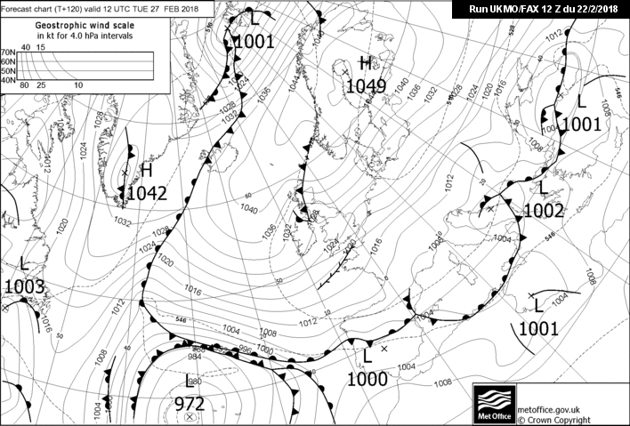
dont buy into this convective craic, few times this year we had -8 uppers in the north west, over a very warm atlantic, and the radar was always just sporadic, i think our snow chances lay in the kinks in the isobars, so troughs/fronts popping up in the flow. last nights fax chart looks very good for the north east
Wasn't there -11 about two or three weeks ago, a Tuesday I think. Was every little away from the Atlantic coast.
-
22 minutes ago, Neiller22 said:
The Mod thread is completely bonkers. Yest they said to ignore all snow acc / forecast charts because they are not worth the paper they are written on. Now its showing snow in their location and they are 100 % accurate and quotes flying everywhere about how much snow they are going to get. Unreal
Boards.ie is even worse, stopped reading it. The Met office warning for East of UK up until 23.55 Tuesday mentions accumulations of 0-2cm, with potential for 5 to 10cm locally.
-
Wednesday before the cold air proper gets here as in ice day. On Tuesday highs of 3 to 5, 3 for Dublin, 5 over here. Wednesday/Thursday possible ice days. Friday slightly warmer still ice day for some possible.
Still 5 days away from the Coldest of the air. 5 days is a long time in weather. If I lived on the east Coast I'd be more optimistic, cautiously so given how long away it is.
-
1 minute ago, CreweCold said:
I've always said that E'lys are never ever nailed until within 72 hrs
People have been getting too carried away all week, I'd wait until Saturday at the earliest before popping the champagne.
-
Unfortunately icon is further south this run. Differences in uppers from 12z to 18z. Less good for the North t120
-
I'm not too excited about this in North West Mayo in terms of snow, looks very good for the East. One fear I have with ECM, the cold pool never really reaches far off the immediate NW coast, was more room for error last run. A small correction against us and I fear the worst. Further south and east look safer.


Model output discussion - the beast arrives
in Forecast Model Discussion
Posted · Edited by BlastFromThePastbuzz
Too many obsessing with the possible breakdown will miss what's happening outside their window this week. Models are rubbish at this range when it comes to the position of a LP when we have cold air over us. Probably won't be entirely resolved in great detail until Wednesday with possible adjustments still possible by then.