


Light Without Heat
-
Posts
435 -
Joined
-
Last visited
Content Type
Forums
Blogs
Gallery
Events
Learn About Weather and Meteorology
Community guides
Posts posted by Light Without Heat
-
-
1 hour ago, MIKE LEVITT said:
Whatever happened to the potent northerlies we used to get down the east coast with frequent heavy snowshowers.seems to be a thing of the past
Always need a slight NE tilt to them. Northerly winds cause the Xmas tree effect in this country.
-
 2
2
-
-
13 hours ago, Aiden2012 said:
Yep that’s what I’m hoping for I do brilliant here of North Sea streamers


Dunno - is the sea 'too warm' potential cold rain inbound !!!
-
45 minutes ago, MIKE LEVITT said:
looking at the radar i thought hull was finally going to get a covering,but hardly anything fell,just a few small flakes.i give up.
Yeah mega dissapointed
-
Just had another covering here in East 'ull. Looking at the met forecast we should see more tomorrow and a bit more widespread.
-
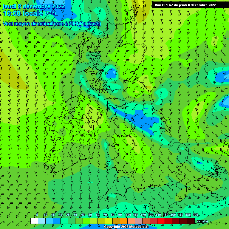
This looks handy


-
1
-
 1
1
-
-
35 minutes ago, reef said:
Its been ages since we had a day like this. Frequent snow showers now with a gradual increase in the snow cover as there is zero melting in between. No marginality either as the temp is -0.5C and hasn't gone above freezing yet.
Same East Hull mate looks superb with the rime frost...didn't think it would happen again.
-
2
-
-
Bit of interest here
1 minute ago, Beverley Lass said:Just peeped out the window to see we've had an overall covering of snow now.
I missed seeing it fall !
BL.Looks like the next batch is due in the next half hour or so.
-
1
-
 1
1
-
-
Finally snowing in East Hull

-
2
-
1
-
-
2 hours ago, Adam lufc said:
Lools like a non-starter early sunday. A lot may now not see any snow from this cold spell.
Typical really.
Be typical that this has been a super cold spell but dry as a desert. unbelievable really.
-
Just now, reef said:
Not as such, the upper air is just too warm in general. 850hPa temps are avout -5C to -6C.
I think we had this when the BFTE turned up. East Yorks used to be in pole position in the 70's and 80's when winters were ace.
-
Just now, reef said:
It didn't go above 2.4C during daylight hours but under this rain its 3.6C now.
Have we hit a warm sector or something?
-
That's rediculous. You would have thought there would have been a few flakes at least
-
1
-
-
Anyhooo anyone get anything out of this yet?
-
1
-
-
18 minutes ago, Adam lufc said:
That is meant to imcrease instabily and convection for troughs, showers etc but even that has failed us!!
The wind has either been straight northerly or NW. NE/Easterly always works better around here.
-
3 minutes ago, Adam lufc said:
Utter utter waste this cold spell.
Would rather everything just move on now.
Greenland heights, low heights in med. Very cold uppers, low thicknesses YET we are as dry as a bone.
So frustrating n saddening to think how exciting everything looked just a few days to weeks ago. Can we never just have something special like other places in the world do year in,year out.
Welcome to living on an island surrounded by warmish water.
-
54 minutes ago, Empire Of Snow said:
It won't because of the current setup. We're still on a NW (or NNW to be more accurate) wind direction. I don't expect a NE/E wind direction change until late hours of Monday next week.
Yeah I agree. Straight northerly winds are kak for snow in the UK and to add A NW component is even worse
51 minutes ago, winterof79 said:
That's what we are taking about
-
2
-
-
53 minutes ago, Empire Of Snow said:
There is some activity in the North Sea but we'll be extremely lucky if we get a shower or 2 over here this evening. The reason is the timing and general setup, it's December, if it was March some of these showers could be more organised and beefy.
Anyway, as I posted earlier this week I'm not expecting anything major which is a shame because this cold spell might last 10+ days.
Hopefully it will switch more NE or E
-
3 minutes ago, Cal said:
Interestingly some of the showers coming in of the North Sea are developing a little inland around the Redcar area.
Yeah its clouding up here in Hull now
This would be a 2010 special if it came off

-
13 minutes ago, Kentish Snowman in Yorks said:
It looks like it's this area of showers that is heading South and may affect the region later today?
Who knows if it will pep up or fizzle out beforehand though?
This was my mates house near Glenrothes from those showers earlier today.
-
1
-
-
Pity we haven't got the showers we had all last week. Northerly's are kak without an easterly component.
-
1
-
-
1 minute ago, Jeremy Shockey said:
just now on the North York Moors near Fylingdales
Nice - It think we should do ok out of this spell
-
This would be interesting. If this came off it would be early start to the Xmas holidays


-
15 minutes ago, Quicksilver1989 said:
Yup and the runs that do see mild air make inroads, there is often some cooler air following behind. However it is dismantling our block and we have to put the building blocks back in place again. The NH profile may look good but getting things to work in our part of the world is a jigsaw puzzle and we return to the stress of the model output again.
We could get a historically cold month if a) the Azores low holds west or b) we get some cold from Scandi moving over us as it approaches encouraging trough disruption. If we don't get that colder air from Scandi we will just get mild / cold incursions afterwards concluding a rather unremarkable cold spell with some transient snow to finish. Cold may return thereafter a while later but with the deck of cards we have now I want to see them put to good use.
Top post. I'd love to see the eye candy come off but at the age of 53.... I've been around the block with decent winters and disastrous winters with no internet or NWP(just a bloke at 18.30 with dodgy magnets) to trawl through. And through the many winters I've lived through and enjoyed 'you win and sometimes you get the discarded holey baggy sock'.
-
3
-
-
24 minutes ago, Quicksilver1989 said:
Hopefully, though how often has one rogue ens member been a trendsetter? Plenty of EC ens also showing something similar, hopefully they are underestimating trough disruption but this is a naff set of ensembles and justify my concern about the Azores low pushing through. On the flipside if cold air does fight back some will get more then their fair share of snow.
I'm not surprised this post has been breezed past due to snow blindness however these are definite good points and as you've posted with the charts another scenario. Potential options!
-
3
-
1
-


Yorkshire and E England regional discussion - Dec 2023 onwards
in Yorkshire & E.England Weather Discussion
Posted
Light snow in Hull


