


lord stratus
-
Posts
137 -
Joined
-
Last visited
Content Type
Forums
Blogs
Gallery
Events
Learn About Weather and Meteorology
Community guides
Posts posted by lord stratus
-
-
No need to feed 'the troll'.
i wonder how much further sw the shortwave from the nw can trend?
How can my post be regarded as trolling just because it doesn't suit certain cold fans. I comment on what I see and use past experience. The more experienced members in here know that the uppers will not be that cold in the set up shown, hence my comment.
-
Thats what we are here for Steve.Long way to go though.
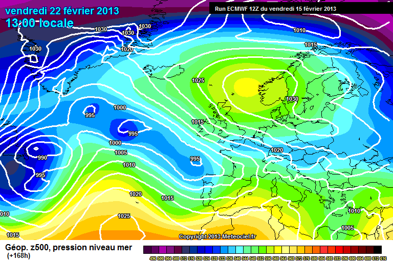
Not sure about the snow theory though http://www.meteociel.fr/modeles/ecmwf/runs/2013031012/ECM0-120.GIF?10-0
If that chart verified it would be a mainly rain event uk wide with hill snow.
-
Apologies for posting in here, but would like to clarify something.
What is the model output showing now for England, Sunday to Tuesday? Judging from the slow post rate in here, I'm guessing the ppn possibility is lower than was thought a day or two ago. But what about the cold? That talk of -10 uppers, even -12 or 14. Is all that off now as well?
A couple of chilly mainly dry days out to Tuesday then a warming trend. A little snow is possible tonight and tomorrow but not much to speak of really.
-
Really zastruga??am pretty sure you must be looking at a different chart cos the one steve is on about will almost certainly bring snowfalls widely and settling at that aswell!!
Have to agree with zastruga on this one. It's not just a case of looking at pretty charts and saying blizzards here we come! What individuals on here are entitled to is giving their own interpretation of the Synoptics. It would have helped if zastruga had backed up the statement.
My interpretation is that although they are nice charts the eventual outcome will not translate into the type of weather most people on here want.
ECM has done this so many times this winter that confidence has to be low. This set up will bring wet weather to low ground with hill snow but a slight change to a more continental influence will increase snow chances.
-
One crumb of comfort is that the GFS does model Northerlies well. Encouraged to see the operational taking the route of some of the colder ensembles we have been seeing
I have to laugh at some of these posts promoting northerlies. They never deliver any potent cold as there is too much modification. It all looks great when viewed on the charts but in all honesty if the northerly eye candy verified it would feel tropical compared to the current easterlies that we are having which has hardly been given a mention!

-
the ecm op delivers cloudy skies and maxes of 5c in se england days 8 thru 10. hardly spring ! i think some are assuming high pressure = sunshine and warmth. it may not be like that.
Depends where the hp ends up. If its in a favourable position then it could well bring spring like temperatures.
-
The more I look at these forums the more confused I become - particular if I had looked at the MODS threads first.
Can anybody give me more of an idea whether we are predicted snow here ( I am in the Croydon area) we have a family member currently undergoing Chemotherapy and being stuck and unable to get to where you need to go because of the weather in those circumstances is pretty worrying.
Sorry meant to post this in the Regional thread
No need to be concerned about disruptive snow this week. At this stage it looks like a light dusting which should not cause problems with the roads in the Croydon area.
-
gefs control picks up on something notable again re precip. gem also consistent on dropping something into lincs/east mids friday night. at least we still have some straws to clutch. a day or so ago, it seemed there would be nothing by this juncture (if you believed some posters)
There is still plenty of interest in the charts that's for sure. We still need a further push north to bring more areas into play. At the moment it's still south of the m4 oops I mean Thames snow risk!
-
Bloody hell its really pee taking now!!ukmo goes north and the crappy gfs goes south
Just take a bit from both runs and you shouldn't be too far out!
-
Only a tiny movement North of the high pressure cell,from what is currently being modelled would bring a threat of more heavier snow showers to some areas.Some of the gfs permutations have been hinting at this,as well as some of the lesser models today .It would seem the met are ignoring this,also the low pressure over France which has been shown on the models to be moving towards the uk at the weekend,with the threat of more prolonged snow,is also not being taken into consideration either.Time will tell if the Met's credibility stays intact
I disagree with your post. The met office are playing it safe as we are still talking 4 days out.
Even if there is heavy snow on the weekend it will not have any bearing on their credibility. If you listen to their latest forecasts and Ian F's posts they clearly state that there is no significant snow showing up at the moment. This can change and if it does I am sure it will start showing up in their forecasts.
-
There should be some snow showers later this week and over the weekend across southern england, south wales, south midlands and across to east anglia as pressure will be lower to the south and high to the north with a tighter squeeze of isobars meaning fresh Easterly winds and also the coldest uppers in the uk, further north it will be dry but sunshine totals look variable as there will be a lot of cloud trapped within the anticyclone but there is good agreement between the gfs and ecm 00z for a higher snow showers risk across more southern parts later this week. Beyond that, the high takes over and really doesn't want to go anywhere so the outlook is cold and anticyclonic, probably sunnier with time and with widespread frosts, no sign of any mild atlantic type weather in the next few weeks.
Best not to look beyond the weekend as I expect there will be a few changes, we still need to see if that high will extend northwest. This week is looking progressively colder after Tuesday with snow chances creeping just north of the m4 corridor. The question is will the snow showers stay south of the m4 corridor or will there be a shift further north to bring other areas in to play?
-
Lord stratos - you are fully aware your post is designed to elicit a response.
We are discussing the 12z runs, not the 00z.
You have confused me. I was commenting on the 12z, in fact I haven't seen the 00z.
Looking at the 12z I posted where I expected the best chance of snow. As you know the outputs will change during this week which will favour some but not all areas. I can only imagine that you live north of my suggested snow extent!
This mornings output keeps the snow risk in the far south but much colder for all of the UK.
-
interesting CC ehen you say parts of wales do you think south east wales is in with a shot ! i think the charts at 144 seem to suggest so....exciting stuff after alot of doom and gloom in here today.........
The charts are playing with options at the moment and the eventual outcome could bring most locations into play. It doesn't look like moving much either way, say 200 miles but you never know. At the moment I would say a line across from mid Wales to Norfolk south would be the areas that see the most snow.
-
I would think most of England and parts of Wales has a shot at snow moving E-W on that ECM 144 chart
Northern extent probably the m4 corridor.
-
Dec 2010 noreaster hence my part of the world got utterly nailed we do rubbish out of straight northerlies
Spot on. People get suckered in by northerlies showing in the winter charts. -16 uppers mean nothing by time they are modified by the large sea crossing!
-
Shame we couldn't tap into a northerly!
Northerlies don't deliver. They look good on charts but the temperatures are too modified.
Would be 3 to 4c in the north and 6 to 7c in the south.
-
Hi: UKMO note block *could* wane even post-nxt weekend but they lean towards somewhat greater longevity, before what they term an "increasing signal" for the HP to then migrate SE and usher-in the Wrly component. EC EPS has Bristol, for example, back in double figures by the end of Feb. Anyway, potential joy either way for cold lovers (albeit snow might be limited) and later perhaps the springtime aficionados.
No point looking at a Break down of the cold spell as it hasn't even started yet! As for snow amounts, well that can't be predicted this early. I expect we'll have a better idea once the cold has set in. I am surprised that certain people on this forum are predicting either loads of snow or little or no snow. Surely by now we should all know that in these set ups snow can pop up at any time and at short notice. Expect some surprises over the next few weeks!
-
As learned from experience..... we're not the Daily Express! Anyway, much could change on this one. No point in over-analysis at this range.
It wasn't a criticism, the ukmo have to be careful with their forecasts, could you imagine a weather presenter going with every gfs output? They would be laughed out of the breakfast tv studio on a daily basis!
-
http://www.meteociel...M1-168.GIF?15-0
Anyone moans at that they need banning.
~523 THickness
in -5c Air
Dewpoints ~ -3 to -5c
Windchill ~ -10c
Snow in the South & SE.
with an undercutter on our doorstep.
Not happy with that.
-
Poor run uppers wise - let's see what the rest brings. Could we be heading to the 'lesser' chilly spell Ian F was mentioning.
Maybe but remember Ian F always sits on the fence for as long as possible!
-
Hmm - Jan 1987 widely accepted as the coldest spell in over 200 years - not sure I see anything like that on the model agenda.
Given how far away it is, the level of agreement we have and the time of the year, I think 2005 is a better composite match (which was good for some, but dry and cool for many)
No one would worry if it didn't turn out to be another 1987. There have been far better cold spells, maybe not for daytime low temps but other spells have been better for longevity and snowfall.
Looking at the latest outputs it does look like the rest of February will turn wintry after this short mild blip.
-
Looks to me from recent output that beyond mid week none of the models seem to have much of a clue, in terms of trends rather than consistency the GFS seems to be the pack leader (if only just) with several recent runs trying to build heights to our north and north west, the ECMs latter output keeps jumping about like a frog on a hot plate, so nothing clear cut yet and it’s really a case of wait and see if a clear pattern emerges. On a better note I got my test results back from the hospital and I'm clear of thyroid cancer so winter can whistle, because I'm happy regardless, cold and snow or mild and wet is of no importance and there will be winter output to mull over and ponder for a good few years yet hopefully.
Very pleased to hear your excellent news, it makes us realise that we should never get hung up on model outputs when they are not showing what we want to see, it's just not that important!
I am very pleased for you and your family.
-
It's fine where it is tyvm
Well I'll keep my fingers crossed for you;)
-
I can't keep up with the latest weather updates, they seem confused. I suppose they have to be certain with their forecasts as they have a big audience. Does anyone know how this weeks snow event will pan out? Lord stratus are you there? Your forecasts are always spot on so please post!
The latest charts seem marginal for the bulk of the country but could this change?
Things are finely balanced at the moment but it seems tonight that any northern movement of the LP has stopped so we could now start seeing a correction south & west which would then mean the snow develops further south but reduces up north. I would suggest looking at the charts tomorrow afternoon and evening and looking at what members are reading into them also. This should give you a clearer idea with regards to Sundays snow. As I say there is still time for a south correction and about 100 miles would probably do nicely for southern UK.


Model Banter, Moans and Ramps
in Forecast Model Discussion
Posted
Great if you like wet weather. Those charts showing a rise in temperatures will also bring periods of rain and breezy weather.