


SNOWPLOUGH
-
Posts
327 -
Joined
-
Last visited
Content Type
Forums
Blogs
Gallery
Events
Learn About Weather and Meteorology
Community guides
Posts posted by SNOWPLOUGH
-
-
Unless you have a crystal ball then you cant really say that for certain either. But I agree re the 12z's, this will be far from sorted on todays runs. Plenty more changes to come I feel.DanTheres nothing riding on the 12z output. It has been made clear that next week is normal winter fare for Januray. Possible snow in the north and cold and wet in the south.
-
 2
2
-
-
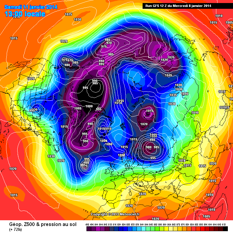
Anyone fancy pointing out the Positive differences of ECM @ 72 V GFS 72
ECM
http://www.meteociel.fr/modeles/ecmwf/runs/2014010812/ECH1-72.GIF
GFS
http://modeles.meteociel.fr/modeles/gfs/runs/2014010812/gfsnh-0-72.png?12
Not noticeable unless you look at both.
Answers on a postcard!
Higher heights over svalbard, low in atlantic is also slightly further south and west. The whole pattern seems very slightly further west.
Dan
-
1
-
-
Yes thats very true- straight source from siberia, the perfect source considering the mild continent at present too. I also like the lack of depth to that low to our south on the +144 UKMO chart, perfect for sliding under the block.This has developed at a pace I dont think ive seen before, hopefully we can continue with the Upgrades and keep all the models on board.Edit : There is also a lovely Northern Italian low on that UKMO chart!DanUKMO is very good evolution too. Possibly better. It's actually time wise similar to the GEM. The next chart on the UKMO (168) would almost certainly be east or north easterly with generous low heights in the continent.Also look at the cold source on UKMO east of Scandinavia. It gets no better than that any time of year.
-
5
-
-
That GEM run is fantastic! Almost reverse zonality with a band of high pressure to the north and lows to our south driving easterlies out into the atlantic... and this is within the next 10 days, very interesting.GEM 00z
http://www.meteociel.fr/modeles/geme_cartes.php?ech=6&code=0&carte=0&mode=0&archive=0
UKMO - 144

Both excellent for different reasons.
Dan
-
3
-
-
Looking like the Steve Murr GFS backtrack to the ECM is underway, were not there yet, interesting developments though.
We need everything to move a little more to the west in next few runs now...UKMO needs to be onside too.
Dan
-
1
-
-
weather guy is that before height collapse though!
if the models don't show enough low heights to the south it could easy recede south southeast allowing us to be on the wrong side of the cold well cooler air.
My interpretation of the UKMO is that on the +144hrs chart this is where the lows in the western Atlantic are heading> The high is unlikely to sink after this.. doesent even really matter when we have such disagreement at +120hrs anyway...
-
Yep steady at 4.1C here in D14. DP is 2C.
Dan
-
Weather and dewpoints at 12 pm. Dewpoints mostly above zero.
Might be just me but cant see those pics su.
Dan
-
Snowing in athlone/Kildare/Meath/West Dublin in past hour or so according to boards.
Dan
-
Europe in the freezer! Love how we share those tasty blues with the mainland. Look how mild Ireland is though.
Not too much difference between the majority of the UK and Ireland there- northern England/Scotland looks a fair bit colder but parts of NI are colder than SE England.
I really Hope the UKMO has it right this morning with a beautiful under cutting low and pressure build to our north.
Dan
-
I think the mother of all undercuts is coming at the end of hi-res!!
Brilliant run- East of Ireland has uppers below -4C from at least +60hrs til +162hrs with -6C/-8C uppers at times
Dan
-
Mad FI on the GFS- should finish up with a greeny high.
Not sure what to make of the output in the reliable..its a mess really.
Dan
-
GFS control looks almost identical to op run and the mean is better than both so far.
Dan
-
Todays GEM looking good at +102hrs with Shortwave diving south east.
Dan
-
If ECM agrees with the UKMO then GFS has to be wrong!
Dan
-
what a situation. my personal view is that i cant see GFS being this wrong at this distance. hopefully i am wrong.
Can you see the UKMO being wrong at this distance? Either could be!
Dan
-
Still strange that the shortwave dosent follow the direction of the majority of energy in the jet stream. Worrying though...surely the GFS isnt wrong so early??
Dan
-
Nope starting to go downhill now- despite better ridging into greenland early on it looks like the shortwave is heading straight east....
Dan
-
Advection of cold air Westwards is slightly slower, looks like areas South of the M4 will be seeing mostly rain now, perhaps turning to snow later on in the day as the system clears.
Better heights up towards Greenland, heading in the right direction so far! Come on, this is intense
Better for Ireland though at +72hrs with -8C 850's in already.
Dan
-
The NAM does not support the GFS upstream on its 00Z run:
It didn't on previous runs either but it's good to see it remaining consistent.
Good news! Am I right in saying the NAM is run at a higher resolution than the GFS? Even if not I know its been very useful for tracking mesoscale changes in the past.
Dan
-
At 150 that low south of Greenland is winding back in on itself and just heading NW and pumping up WAA ahead of it. Just wait and see.
Best guess is pressure rise just east of north with retrogression later on.
I would agree with this- its all FI anyway and we go through a very dodgy patch to get there but I think pressure will rise just to the north/north east of scotland on this run.
Dan
-
Really hoping GFS and UKMO come up with the goods in a few minutes.
Serious snow for the UK and Ireland if this cold spell comes off anything like what was shown yesterday.
-
I will remain optimistic as long as the teleconnections are looking good and as long as GP,Chiono,JH,NS and Steve murr etc can see potential cold spells develoing...
My prediction is for colder runs to start showing again before this time tomorrow, would be in keeping with the model output of late.
Dan
-
Anyone have the link for the AO/NAO Spaghetti forecasts?
Dan


Model Output Discussion - 10th Jan Onwards
in Forecast Model Discussion
Posted · Edited by SNOWPLOUGH