


Matthew.
-
Posts
1,259 -
Joined
-
Last visited
Content Type
Forums
Blogs
Gallery
Events
Learn About Weather and Meteorology
Community guides
Posts posted by Matthew.
-
-
Much more of an active Atlantic by mid June it seems. Looks like that easterly burst in the tropics is being shown now. Does look like being short lived though
-
 1
1
-
-
11 minutes ago, Frosty. said:
The 12z models are firming up on a more unsettled cooler interval from the atlantic next week but if it was then followed by this from the Gfs 12z..it would be a small price to pay for the rich rewards shown late in low res...now that's a plume


30c easy there Frosty
-
3
-
-
50 minutes ago, I remember Atlantic 252 said:
but a relief to those holidaying in eastern areas, or anyone foolish enough to holiday here
Remember we have to pay for the first 3 weeks of sunshine in May with 3 weeks of dull by the time we finish. Whereas the west has had it more the other way round
Many good summers don’t get going till the last third of June so we wait and see
-
I think the east may have real problems this month in terms of dullness if we continue to see a Scandinavia high, low to the south and no Azores high linkup. I’ve never experienced such dullness in June from memory with this week not looking much better. Essentially we have northern blocking to the Northeast. At least it’s dry on the whole by the looks of precipitation anomalies
-
1
-
-
Travelled through a altitude of 200m today. You wouldn’t be wrong in thinking it might be November
-
Ukmo is looking good this evening with a more south easterly influence over Wednesday and Thursday
-
3
-
-
It’s been a poor 2nd and 3rd here and tomorrow looks poor but hopefully we’ll get a few nice days after that.
-
The ECM looks predominantly dry this morning for the first 3rd of June with no U.K. trough. Low cloud for eastern and central parts at times though
-
1
-
-
22 minutes ago, Alderc said:
Not cool model reading this evening. The apparent across the bird switch that fails to rebuild brings in arguable worse conditions than a raging Atlantic. The summer UK trough is arguable the most disappointing setup the U.K. can experience and a pattern that once locked in usually takes a minimum of a couple of weeks to shift!!
A flat zonal summer pattern could be dry and endless cloud whereas the U.K. bullseye trough would be sunshine and showers
-
6 minutes ago, I remember Atlantic 252 said:
Yes, better than a sea mist easterly, could feel decent in sunshine, chart a bit green snot like though
Not much wind and high shower risk in between sunshine. What’s not to like. Much more interesting than a flat zonal flow
-
2
-
-
Just now, Frosty. said:
Would it be so yuk though?..I mean sunshine and heavy, slow moving thundery showers is very interesting weather..in my opinion.
June 2007 I agree
-
2
-
-
5 minutes ago, northwestsnow said:
Well lets hope ECM is wrong this evening.. northern blocking and a UK trough.. yuk!!
Only 1 run but looks a recipe for high rainfall with that kind of low over the top
-
It’s a very interesting start to summer and much different from what we’ve been used to for a good few years all down to around the solar minimum period from what I’ve read. So will we continue to see high pressure shaping Ne from the Azores or will it position northwards at some point. The difference between very wet and very warm. If it wasn’t for this nuisance 8 thing I’d have much more confidence in more of the former
-
2
-
-
6 minutes ago, Frosty. said:
Indeed, and at day 10 the Ecm 00z shows the azores high / ridge looking poised to build back in subsequently.
Last summer we’d have been crying out for a chart like that
-
2
-
-
33 minutes ago, damianslaw said:
Jetstream profile forecast going for a more normal positioned jet as we move deeper into June. It looks like we will hold onto the rather quiet warm non-atlantic weather for quite a few more days yet, then signs of the trough anchoring its way into western shores, not before a ridge or plume builds through, then the inevitable return of the atlantic.
The return of the westerlies.. after the spring slumber - all preety normal for the time of year.
The slumber seems a lot more pronounced this year maybe due to solar minimum so the return of the Atlantic might be a weak try this summer
-
1
-
-
High pressure continues to rule the roost in the reliable. What a remarkable spell this has been!
-
4
-
-
Just now, I remember Atlantic 252 said:
they don't have problem of north sea misty low cloud
It’s all about where the centre of the high is bringing enormous amounts of sunshine too. In the last week the pattern has developed a strong Scandinavia high with no Azores high linking over the U.K. so instead we end up with northern blocking to the northeast with bags of cloud moving over the North Sea in the flow. Great for Ireland and northwestern parts though
-
3
-
-
Parts of Norway/Sweden warmer Spain at the moment as they’re experiencing northern blocking with a trough underneath
-
3
-
-
The first chart from June 1995 shows a similar problem for the east although it is a very slack northeast drift. The second is where the money was in August. Sea hart is different to low cloud in my view. Sea harr burns back to within a mile of the coast in no time. What we’ve experienced the last week is completely different with cloud amounts
-
1
-
-
3 minutes ago, Summer Sun said:
Looking at 12Z UKMO high pressure will build over the UK again as we go into next week
Looks like a northeast drift again does look a lot slacker though so hopefully not feeding in enormous amounts of low cloud
-
A north of east flow during summer doesn’t bear thinking about here. We’d be stuck mid teens with dull misty days even though it would be a dry summer. That has to be the worse scenario. A flat zonal west of south or north flow would still be pretty dull but warmer but windier. We really need the Azores high nosing in or a south to east south easterly for optimum summer conditions
-
24 minutes ago, Uncle_Barty said:
Indeed. June 1976 was unsettled for a time.
If it wasn’t for the last week it wouldn’t have been anything special apart from how dry it was of course. 1940 however was spectacular throughout for sunshine and warmth
-
1 minute ago, I remember Atlantic 252 said:
That last chart Frosty, is what we should all want! not E'lys, or even worse NE'lys
As captain said earlier we might lose the mist from June as we end up in a col and variable wind directions so looking better after the next few days Atlantic
-
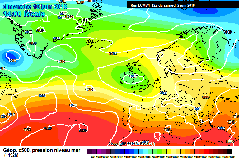
This looks much better ECM for next week


Model output discussion 14/04/18
in Forecast Model Discussion
Posted
The easterlies are well and truly gone at +240