


Cold Winter
-
Posts
510 -
Joined
-
Last visited
Content Type
Forums
Blogs
Gallery
Events
Learn About Weather and Meteorology
Community guides
Posts posted by Cold Winter
-
-
8 minutes ago, Empire Of Snow said:
Do you guys reckon METO underestimates the push of colder air tomorrow? It looks to me that the rain to snow transition might happen earlier than forecasted even with temps around 2C as DP will fall rapidly.
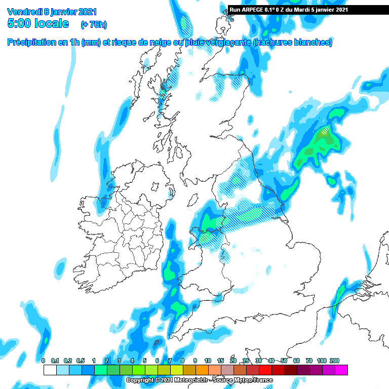
The text forecast is a lot better than the computer generated app symbols for the general picture of what’s going to happen when. This is tomorrow for Yorkshire & Humber:
”Morning showers will more widely turn to snow in the afternoon, becoming less frequent by evening, but some will persist overnight. Feeling increasingly cold in strong easterly winds.”
-
 2
2
-
 1
1
-
-
Just now, LeeSnowFan said:
Saturday 9pm all way though to 6pm sunday and still going snow showers

Yep, pleased with what the GFS is showing. It handles convection reasonably well in my opinion. Usually in these scenarios it shows showers across the sea and up to the coast = showers along the coast. The fact that it’s showing snow over most of Yorkshire suggests they should push inland reasonably well. My only concern is how long it’ll take us further east especially to see settling snow. I’d love to see some lying snow on Sunday but wonder if I might have to wait until Sunday night for some heavier showers to come along to give us our first proper covering of the winter. -
3 hours ago, Aiden2020 said:
Does anybody know how pocklington or generally York gets out off easterlies usually ?
Used to live in Pock and generally did pretty well there. My main profile pic is of the beck in Pocklington.
-
Very difficult to judge when these flip flopping of patterns start showing up on the models. Normally I’d favour the ECM/UKMO over other models.
However, the GFS was the first to highlight and stick with a potent easterly, and the ECM has been anything but consistent lately. I don’t think we can dismiss the GFS, but I do think it’s over-doing that low towards the end of the weekend/early next week.
-
2
-
-
1 minute ago, Mr snowman 2018 said:
Can we finally say we have cross model agreement for the first time this winter ?
Ish. Now we need to see consistency but good steps this morning
-
2
-
-
Hoping we might get something overnight into tomorrow here as I’m getting grumpy now with the endless sleet!
Currently -1.2c with fog out there.
-
Got a reasonable covering here now after a few heavier bursts. The snow drought has finally ended!
-
Some heavy wet snow here in Malton. The first settling snow we’ve had but so far only giving a dusting. Temp 0.4c, dew 0.1c.
-
11 minutes ago, Jeremy Shockey said:
Very disappointing again overnight !
Fri looks to be our next chance ( although it is a decaying front ) moving South.
It will probably run out of steam as it approaches Yorkshire. ( i'm getting a bit weary of this chase now )
Aperge 0z Fri 8th
Yep, easily been the worst “cold spell” I can remember for a while. An easterly in January giving us cold rain/sleet... as @vizzy2004 said, no settling snow of any significance here since March 2018.
I’m giving up on the snow hunt for a bit until we know what the effects of the SSW will be later in the month.
-
I still think the overnight periods today into tomorrow and Tuesday into Wednesday are the most promising times for any snow to lower levels. T850s are good for snow but dewpoints are too high. As they drop overnight with some added heavier bursts of precipitation we could see some snow to lower levels but I doubt there’ll be much settling or lasting long unfortunately.
-
3.9c here, showers so far have obviously been rain.
Tonight I think will be the best chance for us to see some snow at lower levels.Latest NMM (6z) shows a a line of showers (?streamer) heading north in the early hours.
-
1
-
-
2 minutes ago, vizzy2004 said:
Heavier shower incoming this time. Temp 2.3c Dew 1.0c might manage sleet
1.7c and 0.7c... excited for my sleet!
-
1
-
-
High res models are a bit mixed regarding rain/sleet/snow chances over the next few days. Some of them picking out potential streamers too - eg HARMONIE below. Others not doing so and showing rain showers for anywhere east of the A1. I think dewpoints are probably the limiting factor as uppers seem great - would appreciate someone more knowledgable letting me know if I’m right?!?
PS - HARMONIE really does love forecasting graupel (the orange lines)
-
GFS 12z good in the short-term with uppers of -8c to -9c and even on occasion nudging -10c between Monday and Wednesday. Dewpoint forecast is marginal for tomorrow (ie around 0c) so for areas nearer the coast I’d say Monday night into Tuesday and again Tuesday into Wednesday probably the best time.
GFS modelling a streamer for early Tuesday morning. Some of the charts below from that time... I’ll have a look at the high res models when I get a chance. And get well soon, @Scott Ingham
-
4
-
-
Rain here now (as usual!). Really has been a miserable cold spell so far here. Great to see all the snow pics and videos from you guys even if it does make me really jealous!
-
2 minutes ago, Cold Winter said:
2.1c with rain here in Malton. Honestly think this is one of the unluckiest spots in North Yorkshire for snow!
Scrap that, we’ve managed a sleety mix
-
2.1c with rain here in Malton. Honestly think this is one of the unluckiest spots in North Yorkshire for snow!
-
Temp 1.0c, dew point -0.9c here as the showers inch ever closer (very, very slowly!)
-
2 minutes ago, Harsh Climate said:
From looking at the gfs we could have a window of opportunity 00z monday to 12z wednesday for showers to be all snow for most, obviously coastal areas and ground below 40m more marginal.
00z run had -8 uppers for a 48 hour period which is a real lengthy window to get good accumulations from showers packing in from the ENE.
06z unfortunately looks more like -7s which is right on the boundry of boderline...
The next few runs are crucial, ignore what the met office and bbc are saying about next week, most snowfalls here they miss and then when they do forecast snow it doesn't, says it all really!
Yeah and ECM still showing a decent -7 to -9c range for 850s this morning. I’d say Monday night into Tuesday is the period when everyone should get a chance, if the North Sea snow shower machine plays along of course!
-
2
-
-
Latest runs are a bit better for us for Monday/Tuesday. T850 temps down to -8c on Tuesday, UKMO output is best in this regard. Should be enough to see some falling snow in any showers. Pressure fairly high though by this point so would imagine shower activity would be weakening a bit. Either way - I’m a bit more optimistic than I was this morning... think I woke up in a bad mood!
Temp here now is -0.7c already. Had a nice walk down by the river earlier. Areas that had flooded were still frozen over with thick sheets of ice. Can’t complain at that. Great winter’s day.
-
3
-
-
1 hour ago, Harsh Climate said:
Well I think the GFs 6z is a big upgrade regarding the easterly for Yorkshire. 36-48 hour window monday ~ tuesday upers of -7 with occasional -8. Would just tip the balance in our favour with some decent accumulations! Yes milder uppers on te way wednesday but would only be short lived.
I still think with the wind direction, air source and SSTs we’d need -8c uppers or below for anywhere near the coast, -7c probably won’t do it. Ok for areas well inland and over hills though, if any precip makes it that far.
UKV highlights this for Monday evening:
-
1
-
-
Hoping we see some improvements in the T144+ range that we can actually bring closer to T0 without being watered down. The upcoming easterly initially promised some hope of snow showers to my area. Now it’s looking incredibly marginal with sleet more likely as the GFS has trended warmer rather than colder with T850s. Yet again we’re now looking at D7-10.
Really pleased for all of you who’ve had some snow so far (I’ve had none and last winter was incredibly poor too) but is it too much to ask that an easterly in January brings some low level snow?! I’m probably just being too impatient and need to wait to see what the SSW brings us! Either way, wishing all of you the best for 2021.
-
1
-
-
18z about to give us a stonking northerly that’ll no doubt be gone by morning
-
6
-
-
-1.6c here now. Been a grand day really and now a harsh frost to top it off.
However on the model side of things I have to have a little moan. We’re seeing great charts being churned out at the moment but so far always at D7-10. For example, the easterly early next week was trending colder but apart from the UKMO there have been some steps back away from that now too. Is some settling snow at low levels near(ish) to the coast too much to ask for?


Yorkshire and E England regional discussion
in Yorkshire & E.England Weather Discussion
Posted
Wow, so many nerves here this morning! Rain today was never meant to start turning to snow until later today over higher levels and then low levels by tonight, becoming showery.
The MetO text forecast mentions accumulations through tonight and tomorrow to Tuesday.
Radar and lamp post watching will be key from tonight onwards.