


Hot*Snow
-
Posts
155 -
Joined
-
Last visited
Content Type
Forums
Blogs
Gallery
Events
Learn About Weather and Meteorology
Community guides
Posts posted by Hot*Snow
-
-
Here in my location I would say winter has been pretty average overall. The recent cold snap has'nt been too exciting either although my forecasts were pretty much spot on for my local area which I was proud of:
01/02/09: Light/moderate snow showers on Sunday evening/overnight brought a covering of 1cm which had largely cleared by midday Monday.
08/02/09: Light/moderate snow showers on Sunday evening.overnight brought a partial dusting which had gone by Monday morning.
Neither of these I would class as significant snow events, because they are'nt. It has been almost a decade since significant snowfall (ie/2 inches+) affected my area, and alot of paces nearby.
Nevertheless seeing the rest of the country in snow was great along with the model watching, nowcasting and dicussions have been interesting and great fun.
Hot*Snow
-
Snow covered GB yesterday`s chart.
Are there any more charts that show this,what is the GFS snowcover link please?
As if there was that much snow yesteday!
The north-west was covered in white and I can categorically confirm we had no snowfall!!
Hot*Snow
-
Well one thing is for sure it looks very interesting. The problem is I feel slightly out of my depth regarding polar lows. I remember wrongly forecasting one in winter 2003/2004 which never really came off so I have always been cautious ever since, so nowcasting will come into play.
On another note, with the LP pressure system possibly feeding more energy behind it and spending more time out at sea surely thses are 2 positive contributions in terms of ppn intensity? Oron the other hand would the polar low simply merge with the LP system?
EDIT: I see SP has answerd the above question.
-
31 users currently here - compared to 12 before.
Must be something interesting....

-
Totally agree with you mate mate, you know how it is weve been let down so often etc etc. I think alot of us here in the north-west have become extremely pessemistic over the last week !
As you say its a case of nowcasting and I will certainly be keeping my eye on it because as Stephen P said earlier weather-wise they are very exciting to observe.
-
Come over to the north-west board where we have been discussing a polar low that has been spotted in the Atlantic. Unlikley to pull off but its well worth a look at.
Hot*Snow
-
according to meto the snow is now south manchester and moving north
i remember a long time back in the early 80's someone said something very similar, i mean we hadnt any snow like now for quite a period..and a pl developed and some one said that wont do anything for us..it too was stationary with an incoming nw lp..the next day lunch time we had 3-4 foot of snow and 15-20ft in drifts in the countryside lol
Mate i'd love it if you were right but as a lot of people have said the track of the feature is'nt set to hit the north-west of England which is unfortunate.
They are fantastic scenarios that have the potential to bring loads of snow to the nw every year but they seldom produce the goods.
Anyway, 2 cracking quotes from tonight as I have read through the pages:
"It's probably for the best really - the way things have gone so far it would probably advect warm air over us from the Irish Sea giving rain here before passing through the Cheshire gap and giving blizzards in the midlands and south east."
"It seems that to be an indication of how poor tonight is that we are reduced to discussing another feature that will probably bring no snow too."
-
Interesting stuff to look at but the polar low will not bring any widespread heavy snow to our region. period.
But great to look at andunder the right circmstances they can bring conditions we all dream of - but unfortunately the mechanics are not in place.
Hot*Snow
-
Anyone want to stick their necks out regarding tomorrow:
TUESDAY:
A north/north-westerly regime will take hold of the region on Tuesday bringing cloud, with perhaps some periods of sunshine. Perhaps some rogue sleet/snow showers will affect parts of the region however they will not cause any disruption. Conditions will continue into the evening and night, bringing perhaps a frost in some areas particuarly over high ground.
Hot*Snow
-
No sign of any snowfall here, just light drizzle.
As for tomorrows snowfall - probably another let-down.
Hot*Snow
-
Dew points and air temps too far for any ppn up here to fall as snow.
South of the region may see a bit of wet snow, areas such as Cheshire and southern Merseyside.
-
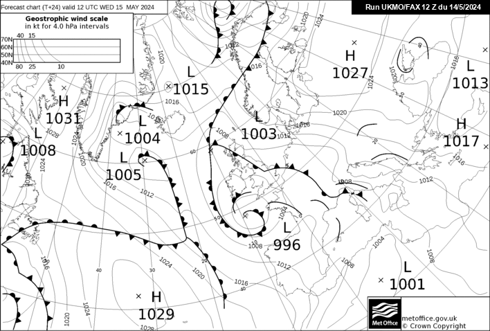
Faxs appear to upgrade feature moving down from NW
http://www.meteociel.fr/ukmo/fax/fax24s.gif
http://www.meteociel.fr/ukmo/fax/fax36s.gif
http://www.meteociel.fr/ukmo/fax/fax48s.gif
Mark
Teesdale,Co Durham
Appreciated Mark,
Cheers.
-
I think you're disappointed then
lol
-
Some light relief, the following links are a series of BBC weather bloopers - enjoy!
http://www.youtube.com/watch?v=Vq_5VeBdNBM - compilation from bbc 3
(my personal favourite)http://www.youtube.com/watch?v=2HtEmhMfz7M...feature=related - Schafernaker strop
http://www.youtube.com/watch?v=T9ctEDqqJtk...feature=related - another Schafernaker classic
http://www.youtube.com/watch?v=S775bSk9lwQ...feature=related - dead ringers
Hot*Snow
-
ʍous*ʇoɥ
˙ɥƃnoɥʇ uoıʇɐɔoן ʎɯ ɹoɟ ɹǝʇuıʍ sıɥʇ uı pǝʇuıodɐssıp ʎןʇɥƃıןs ɯɐ ı
˙sıɥʇ ʇnoqɐ pǝʇuıodɐssıp ʇou ɯ,ı os ʎɐʍʎuɐ ɯıןs ʎʇʇǝɹd ǝɹǝʍ ʇsǝʍ-ɥʇɹou ǝɥʇ ƃuıʇɔǝɟɟɐ ɯǝʇsʎs sıɥʇ ɟo sǝɔuɐɥɔ ǝɥʇ ɹıɐɟ ǝq oʇ
-
A pretty poor outlook snow-wise for tonight and the near future with no/little prospects of proper snowfall.
Hot*Snow
-
PPN has been falling as sleet and mostly rain over the last hour and more -
(1) It was'nt forecasted, at most expect the odd brief shower otherwise clear spells, frost and ice.
(2) It has'nt fallen as snow (?)
(3) Ironiclly it has washed away any fallen snow.
(4) It has just started to clear away.
I my location the last week has now produced two nights (both Sunday's) where we have had a dusting of snow (ie/ less than ahalf an inch) that has rapidly melted away.
Hot*Snow
-
The return back on Monday may possibly be cancelled, if not it will be very rough indeed.
Although the passenger operators on the UK-Spain routes (I think there are 3) usually put the bigger vessels out, designed to withstand the Bay of Biscay.
-
Fair point. Potentially very strong winds coupled with heavy precipitation - particuarly at sea could lead to some severe disruption, particarly out at sea.
I have a feeling a lot of ferry services will be cancelled, particuarly in the western channel.
-
Currently:
0.5deg C.
Fog or mist.
Still a slight covering of snow ableit not very much.
Some ice patches forming.
-
If the trend continues then it may very well reach NW.
Personally I prefer Isobel Lang. There is something about here that just does it for me. :lol:
That would be fantastic stuff if it were to come this far it really would, and I agree some trends are appearing to support this viewpoint. I do find it strange how the bbc have'nt picked up on this yet - although they are more likely to update tomorrow morning.
Nevertheless it makes great viewing, there have been some intersting discussions across the boards today.
Hot*Snow
-
Just seen the 2330 BBC news 24 forecast with the gorgeous Laura Tobin and the ppn was'nt expected to get as far as the north-west, with the snowfall centering around the midlands for most of the evening/night.
-
Interesting stuff mate.
-
Some light relief, the following links are a series of BBC weather bloopers - enjoy!
http://www.youtube.com/watch?v=Vq_5VeBdNBM - compilation from bbc 3
(my personal favourite)http://www.youtube.com/watch?v=2HtEmhMfz7M...feature=related - Schafernaker strop
- another Schafernaker classichttp://www.youtube.com/watch?v=S775bSk9lwQ...feature=related - dead ringers
Hot*Snow


Cold Spell The Sum Up
in Spring Weather Discussion
Posted
Those two drab days of snowfall you were referring too must have been the same ones got, both on Sundays, minimal accumulations and melting quickly. Yeah must have been.