


No Balls Like Snow Balls
-
Posts
2,978 -
Joined
-
Last visited
-
Days Won
3
Content Type
Forums
Blogs
Gallery
Events
Learn About Weather and Meteorology
Community guides
Posts posted by No Balls Like Snow Balls
-
-
-
47 minutes ago, ICE COLD said:
Wintery charts still showing at the back end of the GFS runs . These from the 6z .

Would be a big ask to get snow down South in early October, But here is hoping.
-
 3
3
-
-
-
To hot and to dry. Glad it is over. Hope we don't see another summer like this for a very long time.
-
2
-
-
GFS looking autumnal out in the realms of fantasy. I likey very much.
-
3
-
-
Glad to see no sign of any hot/very hot conditions returning anytime soon to UK shores on any of the models in the reliable time frame. Any return to hot conditions are at in the least 7 days away and even that is overly generous. The meto lastest update seems to have tempered return to hot conditions too.
Looking forward to some fresher conditions this weekend, with some wind and rain :-).
-
5
-
-
ECM looking good to bring some fresher cooler temps in to the UK from Sat onwards. GFS not dissimilar. FI yes but not at far reaches. Only worry is that the ridge would be waiting in the wings to build back in.
-
2
-
-
12 minutes ago, mushymanrob said:
not according to the anomaly charts which keep the mean upper trough well to our west
exactly, which is why i dont take much heed of the ops IF they differ somewhat from the anomaly charts.
the 06z again isnt very clever, it, in itself, is unlikely to be accurate. the overall outlook is still one with great heat potential with a few thundery spells thrown in.. its a fantastic outlook for late july/early august, the best easily since 03 if not 95.Anomaly charts only tell you where lower pressure is in relation to higher pressure and vice versa, they don't tell you exactly where the LP or HP is going to set up. 50/100 miles is going to make a lot of difference to weather on the ground in these situations. I believe they also do not get it right all of the time (a 70% success rate maybe?)
-
18 minutes ago, Scorcher said:
Keep believing your own propaganda- feel free to continue looking at your imaginary set of charts while the rest of us carry on looking at the real ones.
This is a scorching chart from the ECM for most of the UK and is only at 168 hrs:
Only 7 days away?, well into FI is 168 hours!
Latest METEO daytime temps (FROM THEIR WEBSITE) for London next week up until Thurs are
Mon 29c
Tues 28c
Weds 27c
Thurs 29c
Not anything notable there. It is more notable how long the nice weather has been going on rather than for how hot the temperatures have been, and it looks like continuing like that for the foreseeable. And there is no getting away from the LP being modelled closer and closer to the UK in the reliable time frame.
-
5
-
-
Looks like the real extreme heat is being pushed back again, and gradually the LP is getting closer to the UK.
-
The real hot temps +30c seem to be getting pushed further back. First, it was the beginning of next week, then it was mid-week, now it's the end of next week. I certainly wouldn't put all my money on very hot temps next week and would be inclined to have a small wager on LP influencing our weather more and more IMO. We shall see though.
-
2
-
-
OMG the summer just goes on and on, Can't remember the last time it was cold. Hoping a long hot summer will turn into a cold autumn and winter, with plenty of wind/rain storms. I shall remain positive that the heat will disappear soon and we will have some more mobile weather.
-
1
-
-
This is the most uninteresting spell of weather I have had to endure for god knows how long.
Give me autumn wind and rain anyday.
-
3
-
-
I keep waking up every morning expecting the models to have downgraded, and an uncle Barty to be showing, but nope they just keep getting better and better.
This really is the stuff weather dreams are made of. GFS, UKMO, ECM you are legends (at least whilst you are showing what I want
)
-
2
-
 1
1
-
-
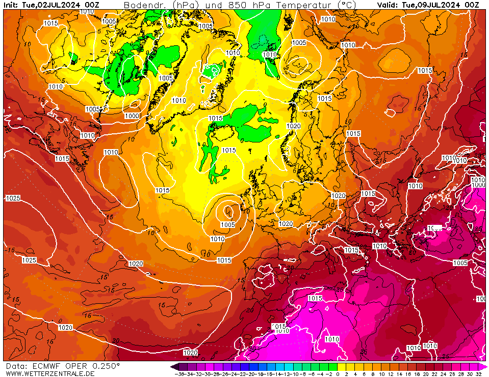
The crazy thing is that these charts are actually within the semi-reliable time frame.
And BREATHE........
-
3
-
-
- Popular Post
Surely if all these crazy charts verify it will make 2010 look like a damp squib?
-
11
-
Just now, karyo said:
The Aprege continues to have the High pressure too dominant and further south than the other models. The 12z is a small improvement to the earlier version though.
https://www.meteociel.fr/modeles/arpegee_cartes.php?&ech=114&mode=0
Only ever rated the Arprege when it is showing 2ft of snow
-
Pure Bonkers
Surely I am going to be woken up in a minute to be told I got hit by a bus a few weeks ago and have been dreaming lol.
-
7
-
-
I must admit I love reading the mod thread when it kicks off in there. It brings so many laughs.
-
1
-
-
- Popular Post
To be fair an Easterly has pretty much most of the time been only beneficial for the South/SE, just like a Northerly is only really beneficial for the North!
In the UK it is difficult to get the whole country in on the act most of the time.
-
14
-
1
-
There she blows
-
4
-
2
-
-
I really really really really don't get the cold has been delayed malarky. It has always been progged to come Sunday/Monday!
Perhaps some people are starting to crack under the pressure, which is fine, each to their own.
The MET have even been showing videos on Twitter for a while now showing the cold moving in at the end of the weekend/early next week.
-
3
-
2
-
-
4 minutes ago, nick sussex said:
The high goes further north and the moaning starts , it goes south and the moaning starts !
Seriously what’s going on?
The GFS didn’t follow the ECM which is great news.
I think I might come back when some sanity returns to this thread!
That will be June then
, once it finally warms up. -
1
-
-
1 minute ago, karyo said:
Relatively deep for UK standards but not nothing compared to what the models were showing yesterday, with a strong easterly and uppers -13 to -15. Of course it is still good but the shortwave development doesn't do us favours in terms of cold uppers.
Crikey you are hard to please. better than a Northerly Toppler
-
5
-


 )
)
 And BREATHE........


Model Output Discussion - Autumn 2018
in Forecast Model Discussion
Posted
I thought the OPI had fallen out of fashion, after that disastrous winter where, well the Thames should have frozen over, but ended up complete opposite.