


mickpips
-
Posts
92 -
Joined
-
Last visited
Content Type
Forums
Blogs
Gallery
Events
Learn About Weather and Meteorology
Community guides
Posts posted by mickpips
-
-
I have a dream sometimes - only sometimes mind!
That is that we could have a section in the weather forum where only posts trying as hard as possible to give a posters views on what the models ACTUALLY appear to show NOT WHAT THEY MIGHT LIKE them to show is available. Its usually called the Technical discussion thread but why oh why can't we have a similar attempt on here.
Now I can make a fairly good case using the last 24 hours outputs from the models and their ensembles for it turning less cold-milder if you prefer that term. Equally I can I think make as good a case for showing that the ensembles or some models show the case for the cold returning.
the TRICK is to take ALL the information we have on the web, on Net Wx and elsewhere and TRY and make fair and unbiased prediction from all that data.
To be honest I am more than a touch fed up with so many TRYING to show that this or that model indicates the cold will stay/return-why cannot we have a balanced unbiased view please?
John , it does sound like you having a bit of a tantrum there

I do however find that post rather confusing , basically if individuals are looking for cold or milder weather and talking about possible evolutions then where is the problem ?
Personally i do not post often ( in fact rarely ) on here but surely this is the model discussion thread and discussing what the models are CURRENTLY showing and what the possible evolutions of said output might become is all model discussion in my eyes and quite relevant ..... Quite frankly I prefer to read posts from the likes of Steve Murr, Nick Sussex, TEITS etc etc who discuss exactly this, not just what the models/ensembles etc are showing but possible upstream evolutions , whether it be mild, cold, gale force winds etc etc
Mick
-
Yet again no fun for Leeds!!!
How can you say yet again ? I have 27cm of lying snow in NE Leeds !!! How much do you need ?
-
Morning all ,
At Least another 2 inch of snowfall overnight in North East Leeds ... I know as i cleared my pathway last night, unfortunately i didnt have time to measure it this morning before heading to work.
Extremely tricky driving conditions with every road on my 6 mile journey being decidedly dodgey !
Passing through Leeds Centre and out the other side at Hunslet , the fall is less with approx an inch of extra snow overnight.
I dont expect much through the course of today , but early evening and overnight looks like the shower activity should pep up once again ... and then tomorrow evening could provide significant accumalations across the region once more.
-
Are there many school closures around your way, mickpips? According to local Radio, there's been 175 in
North Yorkshire today :lol:
TBH , I dont know of any schools that are Open , BBC radio Leeds said this morning they were going to mention schools that were open instead of closed because the closed list was too huge !
I also know a member of staff here at work has also been informed his son's school has already decided they are closed for tomorrow.
-
Just got back in from a drive around, and conditions aren't as bad as Local radio is suggesting, imo.
Heard someone say on the radio that they'd had 4 inches of snow in Norton (near Malton) I decided to have a look for myself and found what appeared to be around two cms
Take a drive towards Leeds , you'll easily see 4 inches cover !
-
Hunslet LEEDS , pretty near to City centre , 10.5cm level lying snow and still falling moderately
I'm almost certain back home on the North side of Leeds there will be 6 inch of fresh snow today
Mick
-
Great to wake up to about an extra 2 inch of snow this morning ( probably more ) , got to work for 6am about a mile out of the city centre and cleared our car park , since then we have had about another inch covering !!
Just stopped snowing now , cant wait to get back home this afty and have a play in it , lol I dont really see much in the way of a thaw before the big day .... Christmas day with 4 inch of lying snow , couldnt ask for more !
** Seasons Greeting to All **
-
Leeds covers a very large area , Jed has had snow everyday since last Thursday whereas i havnt... a couple of inch last Thursday , then a fresh cover sunday and now just over an inch tonight .... i would say theres between 2-3 inch lying here at mo , but i was in yeadon today ( Leeds/Bradford Airport ) and there was about 4 inch in places there before tonight. Thats about 8 mile from where i live ... big variations within what is known as Leeds
)Up at 5am for work , should be interesting ... hoping we dont see the 'drizzle' here as mentioned in Normy
-
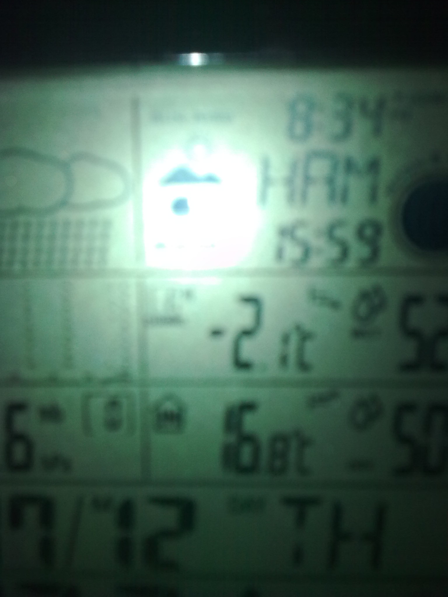
Just reached an inch of fresh snow tonight in North East Leeds ... steady snowfall now , Temp at -1.2oC
I have to question the effect of grit .. The local authority gritted my road 4 times ! before the snow started , yet its white over now ... what a waste , does this stuff actually work ?!?
LOL @ National forecast on Beeb ... Leading edge of PPN will fall as snow ...... hmmm , only the leading edge ?
-
Had 2 inch of snow Thursday , only lost about half of that last night with sleet falling ... had a dusting onto that this afternoon ! Still got a covering but it lasting until Friday is going to take some effort now
-
Anyone on here explain why temps aint anywhere as low as expected tonight ??
-
Does seem strange , temp just risen nearly 1 degree to 0.8 in last 15 mins !
-
http://www.wundergro...sp?ID=IWESTYOR8 Not for Garforth but in Leeds, station is 86m ASL.
And yeah you are in the gap, but the gap is filled up nicely with showers just a bit more time to get there.
Its snowing here!
Edit: It was bad luck you got sleet, because when the warm sector was at it's peak was when a shower passed.
Not snowing here as yet , i am however expecting a few showers through the night , hoping also that this temp drops ... Looks like the 'mildest' ( if you can call it that ) night so far of the last 5 !!
Location : NE Leeds ( Wetherby Road )
Current Temp -0.1oC
-
Definately nowhere near as cold as predicted today or this evening , had a top temp of 2.2 here today ! and 0.2 now ! Earlier shower fell as sleet !!
Have we missed something here ? I was expecting an ice day today
-
Looking nice so far
-
M62 down to one lane in places J26-J24, and closed westbound J24-J22. Quite surprising, may be more to do with ice than snow ?
I was told an hour ago the M62 is horrendous at the moment , and its due to heavy snow and blizzard like conditions, a work colleague of mine travelled from Manchester Airport to his house in Low Moor ( Bradford ) Pretty dicey at elevation apparently , and VERY windy
Constant Heavy snow showers here in NE Leeds now ... gaps are shorter than the spells of snow at present !
-
M62 down to one lane in places J26-J24, and closed westbound J24-J22. Quite surprising, may be more to do with ice than snow ?
I was told an hour ago the M62 is horrendous at the moment , and its due to heavy snow and blizzard like conditions, a work colleague of mine travelled from Manchester Airport to his house in Low Moor ( Bradford ) Pretty dicey at elevation apparently , and VERY windy
-
I am trying to upload a photo to my profile but it keeps saying it is to large how the hell do I get it on here????
Upload it to a site like photobucket , then just post the link
-
Hi guys
Steady showers here in south leeds, nice covering. Hows it looking for the rest of west yorkshire??
Nice covering here in NorthEast Leeds too ... the showers seem to be getting more organised instead of the one per hour from earlier
A nice covering , even on roads etc and bitterly cold !
-
-
Would like to post some images ... anyone know how to resize them to display on here ?
-
Looking at the 18z precip charts for saturday, Scotland/Ireland and Northern England are likely to see a spell of snow.
Certainly confuses me why people even bother to look at ppn charts ... they are nothing more than a very outside indication of any precip , unless of course they follow any fronts etc
Looking into the xmas period I still think , as i have always done , taking a middle ground between diverging outputs usually gives you the best clue as to what is likely to happen. The divergence between the models and the eventual breakdown in terms of timescale would lead me to beleive Christmas day itself will likely still be cold enough for snow anywhere north of the midlands .... but time will tell and this weekend will most likely see the various model outputs come to an agreed evolution
-
Check my webcam for the latest pictures of Crossgates, in Leeds. We have around an inch and it's still snowing.
I can vouch for that living nearby
-
Short sharp snow shower again , thats all they seem to be , but add to the covering
Temp rise from -2.8 to -2.1 in shower !


 )
)


Model Output Discussion
in Forecast Model Discussion
Posted
I think you may have misunderstood ... its not that they move East , but the modelling tends to forecast many to be too far west ... I have seen this on countless occasions over the years and as some have pointed out , its usually when we are foecast for a huge northerly blast etc , for it then to pan out to move through the North Sea. On this occasion everything is out west so fingers crossed it all shifts East a tad