


Mr.Plow
-
Posts
132 -
Joined
-
Last visited
Content Type
Forums
Blogs
Gallery
Events
Learn About Weather and Meteorology
Community guides
Posts posted by Mr.Plow
-
-
Lots of sources showing it may be rain/sleet on the coast but Snow here in Norwich.
My gut is telling me all snow.
Any one care to make a bold prediction for the east norfolk coast.(Not that there's a west one!)
-
future radar sees it just drop south
You are proabably right, but I am still hoping for a suprise!
-
Problem is that is getting shoved to Kent imo.
Hard to say for sure. seem to be sliding down the coast as it arrives but a small change in the wind direction and whammy.
Eyes on lamppost......................................
-
This llooks promising
-
Squeaky bum time for me!
Too many charts showing some north eastern parts of norfolk missing out initially.
May have to rely on the second band Tuesday and convection.
Having said that, the distanes between snow and "no" are tiny in weather terms, so radar and lamppost may be the best guide.
-
There has been some attempt at wintry precip here on the east coast this evening.
A little taster of whats to come I hope!
Apart from the potential fronts on Monday I am really looking forward to some hopefully beefy snow showers if the winds turn the right way.
-
This regional forum needs to be split up. Its just far too big as it covers nearly half the UK, or at least it seems. !
Yes, as nice as everyone here is, it's covering a very large area. Maybe we can have it split in 2, I think this has been done before.
-
Fantastic uppers of -12C approaching and heavy snow showers into Lincs/Wash area.
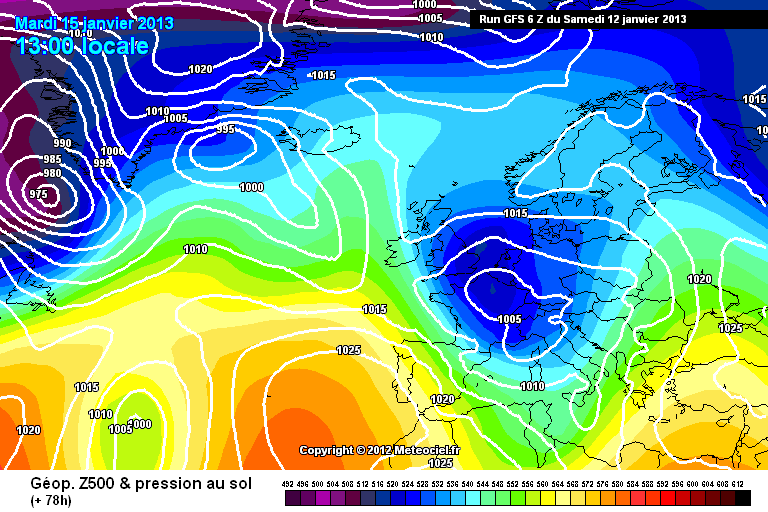
How could I tell where the convection would form snow showers on that chart please?
I have seen people post charts with red convection dots, but can't find them now.
I am trying to work out when and if Norfolk may get snow showers rather than frontal snowfall.
-
evening is it me but looking at the models last night the gfs was saying it was cold till end of Jan but now its saying 15 Jan im surprised there no wrist cutting in the model thread to-night!!
Have you seen the ECM?

Both ECM and UKMO look lots better. GFS Pretty much on it's own.
-
Ahh the so called 'duff' 06z run that everyone wanted to bin? Shall we see how duff the 12z is in about 90 mins???
I am sure as a grown up I shouldn't be this excited/nervous about a weather model computer prediction.
-
I am in the litte white piece on the edge of norfolk! Still time to change, be nice if all our area did will. SE and EA.
-
I wonder if the site will crash again when the 12zs run comes out. Particulalry tonights ECM when everyone is home from work.
If it's another stella run I reckon we may not be far off the record numbers ever on this forum.
Will the servers cope?
-
I'm hoping that convection kicks up some showers on Sunday for Norfolk as at the moment we look in no mans land according to the most recent precip charts.
However I find they are rarely accurate at this range so I have everything crossed that we get a drop of the white stuff.
-
Got a feeling my part of Norfolk may just miss out, but good luck to those who manage to get some snow.
A small change here or there could swing things either way, so I will be lampost watching just in case!
Looking at the output I don't think it will be too long until the majority of us see some of the white stuff.
Winter 2012/2013 is shaping up nicely, it's very diiferent to last December,
However as usual in the UK we still need a little luck to hit the snow jackpot!
-
Thanks GP, that was an excellent video.
I really appreciate the time and effort put into it for us.
-
I have heard it mentioned that there is a tendency for lower pressure where the ice has gone. Could that aid deveopment of Polar lows?
-
Thats nice and i think this could surprise many others to, not read much chat about this snow although the forecasters have said about it on here and the MetO and im sure others to, so it was expected. must say though NAE really upgraded this on the last run 00z! more pink on the map! the other day everyone was chatting about light snow and that and nothing on this really not sure why! anyway if its snow where you are im sure it will be snow further south where the dew points/temps are colder!
Not sure how far inland it's been as friends in Norwich say it's just cold and frosty there. Hope there are a few more surprises to come in February!
-
Got a lovely dusting of snow here this morning near Gt Yarmouth, I do love a surprise! Thanks for posting that ElectricSnowStorm.
-
Just been out in the snow with my son, leaving foot prints and generally messing about. 10 mins later all tracks covered with this fine powdery snow is piling up here by the East coast!
Happy lampost watching folks.
-
OMG not again — just on the eastern edge of where it goes from dark pink to light pink. I know this of old — watching the dark pink splodges drift by 3 miles away. I think I'd rather get nothing at all with no hope of anything.
Don't panic yet, that chart is for 3pm Sunday - The charts show we would have had about 12 hours snow by then!
-
The precipitation charts still show the snow reaching the far east and the Met Office warnings show this too.
We can't take just one runs results so I still think those of us in the east will be ok.
http://www.metoffice.gov.uk/weather/uk/uk_forecast_warnings.html?day=4
TEITS namechecking Gt Yarmouth and mentioning patchy snow was a worry but we still have a chance for a shift more in our favour.
-
Just saw this on my sisters Facebook - Shows how close the wate level is to the bridge. Looks really high with High Tide due in 15 mins.
Meant to add this.
It's Haven Bridge at Gt Yarmouth.
-
It doesn't look perfect to me! I hope it does come off for you in the North of England / Scotland - for those that want it.
Large parts of the country look to me as though they will miss out totally and just get rain/sleet judging by those charts (Please correct me if I am wrong).
Personally hoping that things change soon and we perhaps get high pressure back in control. The GFS show very wet conditions but no snow right through til Saturday for much of England.
-
Still sleety stuff here in Ormesby St Margaret but I am only a couple of miles from the coast here so no major suprises.


Three Counties & East Anglia Regional Discussion - January 14th 2013>
in Regional
Posted
Thinking the west would be landlocked! Please accept my apologies