


london-snow
-
Posts
1,096 -
Joined
-
Last visited
Content Type
Forums
Blogs
Gallery
Events
Learn About Weather and Meteorology
Community guides
Posts posted by london-snow
-
-
6 minutes ago, Frosty. said:
Get the cold air in place and the rest will take care of itself.
Famous last words there lol..
-
 3
3
-
-
Just now, Mucka said:
GEM looking good at 120, pity it isn't one of the better models.

Gem has been quite consistent though mucka in maintaining the cold easterly feed so would not write that off at all.
-
3
-
-
46 minutes ago, Gibby said:
Surprised (unless I've missed it) there hasn't been more disappointment in this chart tonight. I know it's at 10 days but it has shown a marked increase in the sinking of the High to Northern France in comparison to recent runs with the dreaded Westerlies setting up across the UK. This could be what IF is referring too in his earlier tweet for the end of the month from ECM.
Gibby two days ago the meto was forcasting a return to mild as early as next week with no mention of cold either side of a brief milder blip or no blip at all. So how can a day 10 chart onwards be correct?
I'd say going on today's output and agree that the easterly prospect is somewhat diminishing with either a cold high or cold SE feed however it won't take much to budge into a more favourable situation (cold and snow wise).
We are literally not talking about mass changes here so next 24-48 hours will be very interesting for the mid range pattern going forward.
On to the mornings runs we go with settling snow...
-
3 minutes ago, jvenge said:
The Op was on the colder side of the 06z and looking at the ensembles, one could see scenarios where the UK is watching a cold continent while being in near normal temperatures or slightly below. Attached the ensemble mean to show this.
From the 12z, those of a colder persuasion will be wanting to see some more westward correction.
It's been like this for a while ' Close but no cigar ' type of set up. Plenty of interest now turns towards the mid month stand off as to whether or not we see and join the fun and games or we pull out our telescopes and look east from the window with you're right hand clenched in a fist of fury.
Time will tell...
-
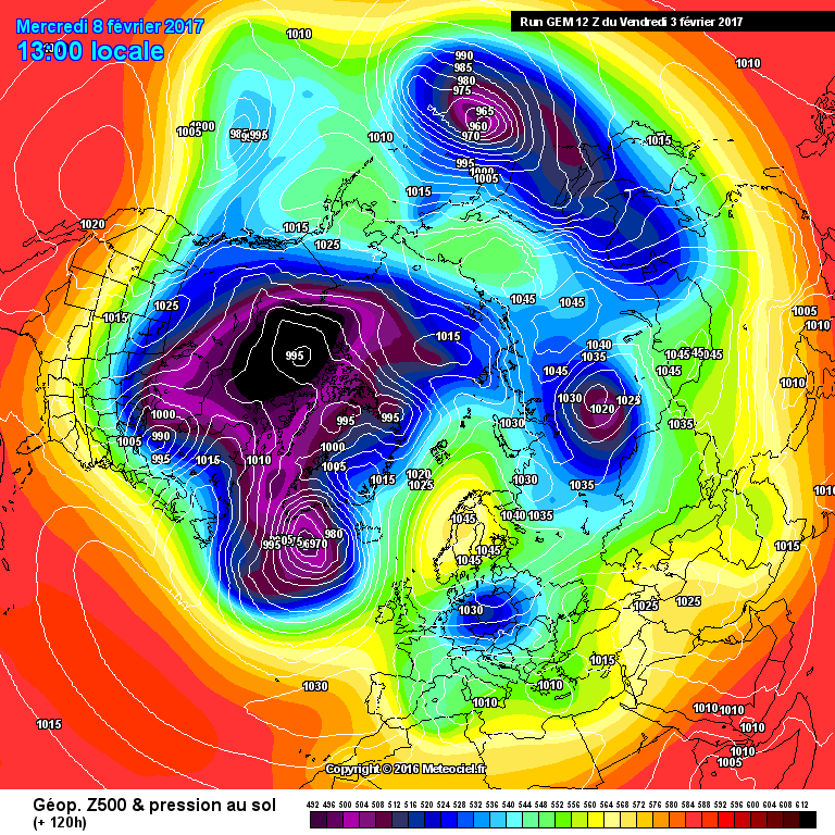
Fantastic 06z
And it's got below that magic mark of +300!!
in actual fact were virtually there by +240
-
3
-
-
Just now, feb1991blizzard said:
When background signals are favourable, there's no guarantee of cold, particularly early in winter because even if good synoptics occur, there may not be any cold pooling, but when everythings against, you cant rule out brief transient snow events, topplers, PM incursions etc but blocking is extremely unlikely.
Blocking was there back end of Nov and into this month mate and look what happened then. Call me old fashioned and I've harped on about this for years (Never mind what goes on in the strat ect ect ect. If you see a cold period of weather approaching grasp it and it may grow into something special) Once cold weather is established on our shores the output is a day by day game imo ups and downs for sure but at least we have a ticket and that ticket seems only a few hundred miles away at this point so not that far off and plenty to be positive.
-
3 minutes ago, snowray said:
+T144.....gone!
What's gone? we are literally a few hundred miles off a very decent cold spell with possible snow chances. I don't see no mild pattern incoming can you?
-
9
-
-
1 minute ago, frosty ground said:
The same poster was writing winter off last week what else is there to say.
Even by the poster admissiononly a few GEFS run where showing somthing a bit more severe..... and that's the point the info has only really shown a toppler then high pressure with a second go at it a week later.
It just happens to be the high will be a cold one rather than a usual south westerly that follows a high toppling south east
Sorry did I write it off?
-
9 minutes ago, feb1991blizzard said:
There were lots of GEFS members showing uppers very cold for days a few runs ago, they are fast disappearing and with the Met Office outlook not suggesting much PPN after some very insignificant back edge snow on the weekend, it looks like another garden path job again, mind you the background signals never really suggested HLB in the first place. Well at least we can look forward to some frosty clear days and interesting weather .
zzzzzzzzzzzzzzzzzzzzzzzzzzzzzzzzzzzzzzzzzzzzzzzzzzzzzzzzzzz.
Ok so background signals like in early Dec is that what you're basing you're outlook on now (false dawn) springs to mind..
And I'll love to know how you have inside info re the outlook being frosty clear days and a snooze fest when the diffrence into the first week of Jan which is atm at least 5+ days away may well be a few hundred miles away from white flakes falling south of let's say reading in a long while.
Dismiss at you're peril but I'm a believer..
-
6
-
-
- Popular Post
- Popular Post
2 minutes ago, Mucka said:let's hope ECM backs UKMO rather than GFS which is pretty much a worse case scenario for snow chances through 1st week of January from where we are.
If we can just back the pattern West a few hundred miles it will make all the difference in lowering pressure to our S/SE, raising pressure to our NW and of course opening the gate to an Arctic flow which even with toppler scenarios would give much better depth of cold and snow chances between ridges and better Easterly chances further down the line.
It is on a knife edge between a standard cold/frosty spell with short milder interludes and a prolonged cold spell with better snow chances IMO.
Great post and those underwhelmed at today's output thus far need to take note of the above.
As I stated yesterday it will be turning colder into the new year period. How prolonged is up for debate and snowy (which is pretty much a day to day forcasting situation) unless you have a high slap bang over us is also up for debate.
All the cards are on the table but most if not all are showing colder weather into the new year period so what's to be dispondant about at this juncture if you're a coldie?
-
10
-
I wish some can take perspective here...
WE ARE GOING COLD!
(Pretty much nailed on with the initial blast from the north)
AFTER..
how cold and how snowy the backend of the 1st week of Jan onwards is anyone's guess but most signs point to cold atm so let's all worry about that down the line.
-
4
-
-
29 minutes ago, london-snow said:
And there's me sipping my 8th beer thinking great and fantastic output over the last day but when are we going to go on a big let/come down?
May as well keep on drinking until new year..
ANY SPONSERS!
I'm back on it after the ecm (which ain't too bad) imo, the positioning of that high is crucial.
once again all all sponser a snow machine is a go just pm me with bank details ect or I'll put up a just giving page! & every little thing will be all white as Mr Marley sings..
-
2
-
-
And there's me sipping my 8th beer thinking great and fantastic output over the last day but when are we going to go on a big let/come down?
May as well keep on drinking until new year..
ANY SPONSERS!
-
6
-
-
22 minutes ago, Steve Murr said:
The models arent brilliant this morning however I will be reviewing them post the 12s which I think will be better-
A common theme which is becoming ever more popular i note that the overnighters seem to downgrade the previous evenings 12s only to upgrade in the following afternoons 12s.
Of course it's only a upgrade if you're a cold weather fan!
-
3
-
-
5 minutes ago, Connor Bailey Degnan said:
Worth noting that the GFS 00z op was an outlier compared to most ensembles. We see a gradual dip, mid month, as shown nicely by this;
Of interest out of reliable but note the precip at the end of the run with a fair spread members going cold from the 13th onwards.
-
6
-
-
10 minutes ago, Tamara said:
After mid December ????
So 'The worm is turning'? I'd quite happily take a week or two under HP before that goes north and allows us to get into the game where I feel we will end up.
Those dispondant and disappointed just think a cold HP for a week or two followed by look e/ne where anything white is possible (showers and all)
-
6
-
-
12 minutes ago, frosty ground said:
Looks like it's attempting an undercut to me,That is so so tantalisingly close to a undercut if ever I've seen one of those knifedge 49%-51%!
Am going to do a detailed post after the hustle of this evenings runs about how we should now be happy about current and future prospects if cold and possibly snowy weather is what you're after.
-
2
-
-
5 minutes ago, snowfall09 said:
Here's the BBC's thoughts on the long term model output
So thus my point earlier a forcast provided 3 days ago frost and snow was the way by the same team now undecided. I rest my above comments post my case your cold honour...
mild or cold who knows but it is a facinating situation somethings afoot if they keep sticking their necks out about going cold (even thought it's been put further back)..
-
2
-
-
1 hour ago, Steve Murr said:
ECM is as dreadful as it gets tonight with the UK thrust into very very mild air post day 8-
There hasnt been 1 decent cold outlook from the ECM since it landed this week & it has thus far easily pegged the GFS which has continually backtracked on any cold-
The only crumb of comfort is all the mildness comes day 9 / 10 with opportunity of change to a colder blocked high still flagging at 168...
very poor couple of days models....
Steve sorry it is not a very poor couple of days models as their only spewing out data every other hour and produce a mean cold, mild, hot. wind. rain. snow. sleet. ect ect...
What is fustrating for me however is these posts that call for a change to a cold pattern at 10+ days away (yes I know you have your science behind your reasoning and respect that but don't you or mods think that should be for the lrf's thread?) as a lot of people who takes pros talk for gospel and hang on it usually end up disappointed.
personaly :
i am all for a cold and snowy winter however lrf's and such statements should never be taken gospel which people has done so already such as +4 weeks down the line. cohen predicts and fergie this or gp predicts that. Dispite and I love reading their take on proceedings going forward these posts should be valid in the lrf prediction territory and if wrong never mind. However mod thread a popular thread this time of year and we get a lot of let's say 'long time listeners and no posters' who are facinated by winter weather come here daily to check what popular posters are saying and from my prospective it's wrong telling your grandma to prepare for cold weather +2-4 weeks in advance.
-
7
-
-
1 hour ago, No Balls Like Snow Balls said:
And relax................ and SMILE.
A Santa surprise perhaps.
Although encouraging can't help but feel everything's getting shunned further and further back.
-
5
-
-
I find it very very odd (In a great way) after the bbc forecast last night coupled with today's output thus far and positive posts from the pros that something defiantly is brewing. Remembers 2009-2010 snow documentary!
-
6
-
-
7 minutes ago, Allseasons-si said:
i am looking forward to the new ecm which starts very soon
Disaster incoming with the red cross on full alert and a sackful of prozac from across the waters of france from a guy called nick :-)
-
Happy with the overnight output? = Yes!
Why? = We finally see Eastern Europe going cold even very cold and it's not too far away for us to be left out entirely.
Explain : For new members this year in the past when we have had a sniff of a cold easterly or north easterly wind the output from models always seems to place the pattern (Cold weather) too far east as the pattern comes from mid term to countdown we see it more often correct further west so something to look out for in the mid term if the signal is not lost going forward.
-
8
-
-
43 minutes ago, ANYWEATHER said:
A Post ,Short and Sweet, what a Treat!!!
Don't get ahead of yourself and lead the garden path party. Many more runs and hurdles to overcome..
-
4
-


 zzzzzzzzzzzzzzzzzzzzzzzzzzzzzzzzzzzzzzzzzzzzzzzzzzzzzzzzzzz.


Model output discussion 25th Jan - The final third of winter beckons..
in Forecast Model Discussion
Posted
I feel today has had many ups and downs but nothing resolved except we will be entering a colder phase from the east be it NE/SE..
The orientation of where the high situs is ever so important between a cold spell or cold and snowy spell adding to that disturbances which won't show at this range I feel that you're aswell to flip a coin or call the winter horoscopes hotline with discount SNOWUK2017 as a money off discount code.
Another few days beckons before we have a stronghold of where we are heading..