Cheese Rice
-
Posts
3,922 -
Joined
-
Last visited
-
Days Won
2
Content Type
Forums
Blogs
Gallery
Events
Learn About Weather and Meteorology
Community guides
Posts posted by Cheese Rice
-
-
Honestly I'm not expecting anything here, and I'm not even doing the usual of running of to Leeds either as I don't expect it to be a significant event there.
I would focus on the high res models only, would avoid the GFS.
-
 6
6
-
-
The Met Office warning is pretty clear in that it'll be a mostly high ground affair.
QuoteA band of rain, sleet, and increasingly snow, will push north on Thursday bringing up to 2cm snow at lower-levels, 2-5cm on ground above 200m, and perhaps as much as 10-20cm above 400m.
Looking at the high res models the front is over Yorkshire between 9am-3pm which isn't a particularly long window of opportunity. Plus its during the day, ideally it would had arrived at night.
I think realistically we'll see sleety mix to low levels inland, cold rain for east Yorkshire. I'm expecting the snowline to be around 160m from past experience in these situations. 2-5cm sounds about right. I don't expect any lying snow below 160m but you never know.
-
One thing I have found is frontal snow has become a thing of the past. Which is a shame as we are usually well places.
-
 1
1
-
-
Meto forecast has switched, showed snow turning to rain at 1am onwards, now it turns to sleet at 2am all the way till 1pm.
Quite a shift, could see some significant snow in the morning .
-
I'm back in Manchester. Wish I was back in Leeds, looks like it could turn into something significant.
-
Back on the train Manchester, moderate lying snow even down to sea level east of the Pennines. The snow line seems to be around Marsden.
-
 9
9
-
-
Gone into town. Was snowing moderately all the way there, lying snow even down to low levels. Immediate city center just snowing but nothing lying.
-
Dying off before it makes it here. Oh well.
-
As a rule of thumb for it to settle at this elevation it has to be snowing in Leeds center.
So that's a good sign.
I've never in 14 years of being on this forum seen falling and lying at 200m and rain in town. It has to be snowing in the city center, even if it's not settling and wet snow in the city.
-
Just now, terrier said:
200m above sea level.


I just know Harsh climate was hoping you'd say 50m
-
 3
3
-
-
Looks heavier than I expected. Not sure what will happen when it hits at this elevation.
-
Yeah falling moderately here. Sheffield looks like the sweet spot seems to be breaking up over south Leeds.
-
3 minutes ago, summer blizzard said:
Radar looks good to me, solid nice band now.
I mean yeah it looks good, the caveat is that it looks good west of the pennines.
Can it make it over? Or will it reform east of Leeds.
-
I have a feeling it'll be a flop for West Yorkshire. South Yorkshire looks better placed.
-
 1
1
-
-
I don't think all is lost just wait and see.
-
 7
7
-
-
It's a bit of a tricky one as I could see there been a rain shadow for West Yorkshire but we'll see.
-
1 hour ago, Harsh Climate said:
From briefly looking at models a fair few show, the heavier stuff mostly affecting south yorkshire, east yorkshire and eastern parts of north yorkshire.
Preicipitation may be a little less intense west of leeds but for you ya should be well on the right side of marginal. For me I'm hoping 50m+ is sufficient
Tbh I think it's a now cast for now. Can't rule anything out.
-
 1
1
-
-
2 minutes ago, severe snowstorm said:
Wasn't expecting that, heavier stuff arrived and it turned to heavy rain and sleet. Temp 0.1C, dp -1C.
I did think this would happen. The high res models did show it become increasingly marginal unfortunately.
-
 6
6
-
-
-
Unfortunately I think it's going to be a bit too marginal for the region. We'll see but I suspect it'll be a wintry mixture of rain, sleet and snow.
-
 3
3
-
-
Yorkshire should do reasonably well from this. It does looks marginal somewhat but I think we'll all just be on the right side. Unfortunately for NW England it's perhaps a bit too marginal, a mix of rain, sleet and snow.
-
 1
1
-
-
GFS looks tasty for the region. Fingers crossed it comes off. Might end up staying in Leeds till Sunday morning then whizzing back on the train to Manchester.
-
 6
6
-
-
I think the models are now firming up on a band of snow pushing in, 1-3cm widely.
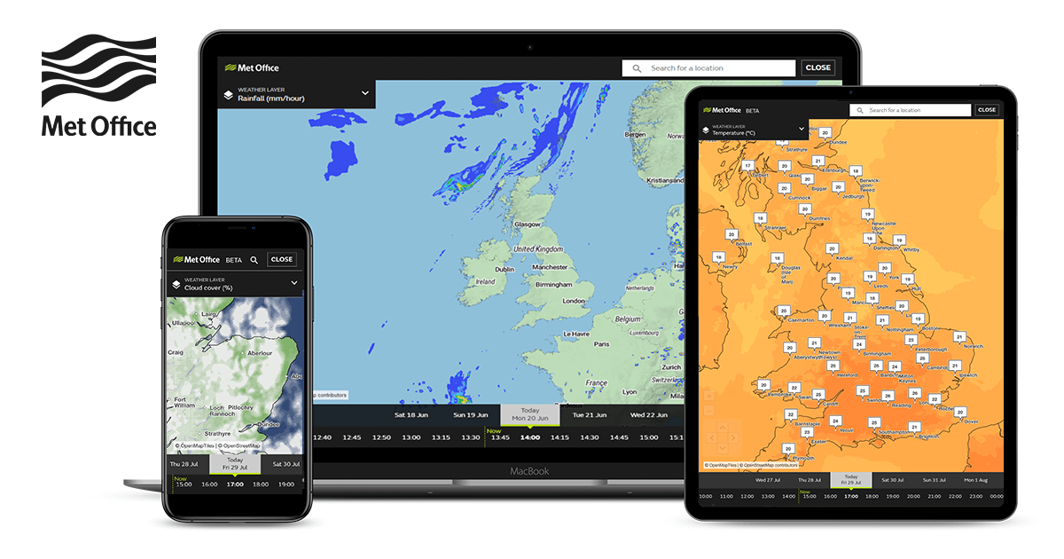
Have a look at the meto rainfall map, its inline with the other high res models. Expect a warning soon.
 UK rainfall radar map - Met Office
WWW.METOFFICE.GOV.UK
Our rainfall radar map shows precipitation and rainfall rates across the UK. Includes forecasts up to 5 days and observations from the last 48 hours.-
 1
1
-
-
I was going to go back to Manchester tomorrow but I think my chances are better in Leeds, fingers crossed for both sides of the Pennines.
-
 3
3
-


Yorkshire and E England regional discussion - Dec 2023 onwards
in Yorkshire & E.England Weather Discussion
Posted
UKV seems to have upgraded somewhat but still very much a high ground affair.