


The Enforcer
-
Posts
1,550 -
Joined
-
Last visited
Content Type
Forums
Blogs
Gallery
Events
Learn About Weather and Meteorology
Community guides
Posts posted by The Enforcer
-
-
Just now, NEVES SCREAMER said:
Also predicted a hot and sunny July

Did it predict that at the beginning of July?
-
 1
1
-
-
17 minutes ago, Hoghtonwhite said:
I think the GFS is sniffing something here. You don’t see charts like this often.

Not at T+0, but at T+388? All the time.
-
2
-
-
9 minutes ago, Allseasons-Si said:
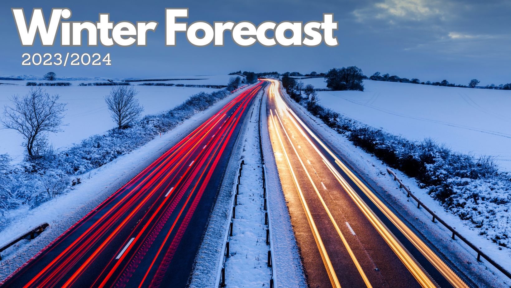
I don't believe it. Goes completely against this forecast:
Long Range Weather Forecast - Winter 2023/2024 | Netweather.tv
WWW.NETWEATHER.TV
Long range weather forecast for the UK - Winter 2023/2024. Will it be a cold winter?with a Scandinavian rather than Greenland block suggested for later in December.
-
Some posters appear to be bemoaning melting snow. One can only dream.
-
2
-
 1
1
-
-
1 hour ago, Snowyowl9 said:
A blast from the past The EnForcer is back..
It wasn t powdery snow here dry snow then damp now wet..
Always lurking.
1 hour ago, alexisj9 said:You left out 850 temps sub zero, they went positive Infront of the front, which is why it rained.
Of course they did. So much fior 850s not being important with frontal snow.
-
Dry spell didn't even last a week. Back to flooding.
-
2
-
1
-
-
3 hours ago, alexisj9 said:
The are on about the entrenched cold in the scandi area, which will help us, stay on the colder side of things with any east north east winds. At the minute that does look like holding, along with our cold midland northwards for now, with perhaps transient stuff further south as lows move east.
That is only of any use if we actually receive some north-east winds, which were conspicuous by their total absence during this dry spell. Otherwise it is arguably counter-productive as it only serves to act as a barrier to LWP west to east progress, which doesn't help the UK at all.
4 minutes ago, stewfox said:5c and cold rain ,wonderful not
Dry spell didn't even manage a week.
-
4
-
-
1 minute ago, Mapantz said:
Height of zero-degree isotherm?
Goodness knows. Evidently not low enough, but even if it had been low enough, there'd have been some other factor preventing a few snowflakes falling at the beginning.
-
If you'd asked me beforehand what conditions to have at a frontal incursion, I would have listed the following:
- 2m temp sub-zero
- freezing dewpoint
- heavy precipitation
- no wind
- negative tilt to the front
I ticked all of those last night and it was still rain right from the off. Crap again.
-
4
-
1
-
-
12 minutes ago, *Stormforce~beka* said:
On the sprouts already dear? ...
I think we just did it! It's now 0.1c at 00:01!
Can I come cry on your shoulder?
Who says it will be you doing the crying?
-
5 hours ago, Ali1977 said:
ECM is crazy for wales, things shifted south a little!!
rain turning back to snow as it clears Monday night!!
5 hours ago, Metwatch said:Parts of the north and north west could really get a dumping by next Weds - Thurs, follwing today's event in parts of the Lake District.
Waiting for some snow tonight down here, fingers crossed! I'll be in the Midlands thread mostly tonight if anyone from there is in here, join that one!
Ice day here, still -1C DP 0C, precipitation heavy (yellow echoes on the radar) and it's still rain. Don't hold your breath.
-
-1C and rain. Crap again.
-
1
-
1
-
-
3 hours ago, Mucka said:
MetO calling a rain event again which conflicts with their own model
"Turning cloudier and warmer from the southwest with rain spreading north later on Sunday and into the new week."
Looks like they let 'Dougal' issue the forecast again.
-
1
-
 1
1
-
-
7 hours ago, MattStoke said:
That one is accurate. Snow in all midlands and central southern locations, apart from the small pocket of rain in the middle of the snow over OX14.
-
7
-
-
35 minutes ago, blizzard81 said:
I've been so engrossed with the prospects for next week - breakdown? More cold? Etc that I almost missed the fact that it's actually snowing here as I type
 . Just goes to show, these features can crop up at very short notice.
4 minutes ago, northwestsnow said:
. Just goes to show, these features can crop up at very short notice.
4 minutes ago, northwestsnow said:Woohoo got a nice white carpet courtesy of my favourite wind direction

really hoping the 00z runs continue to move the lows south...
Were either of those forecasted for tonight by any of the hi-res models?
-
2
-
-
1 minute ago, Battleground Snow said:
Can we do the impossible and get further cold upgrades/extension on the 00z?

Not the 00z suite. More chance of it introducing a previously unmodelled Icelandic Low at T+48.
-
5
-
1
-
-
13 minutes ago, TSNWK said: quiet big changes now at day 6…. Low sliding and still cold at surface I suggest..Azores high much flatter as well… as low being slide shape not pumping it up
So much change in such a short space of time at this range. Don't worry, NAVGEM will provide clarity.
-
1 minute ago, northwestsnow said:
Yes GFS keeping the south further south.
Well it would have to really.
-
1
-
-
1 minute ago, Drifter said:
What is LWP?
Low Without Portfolio.
-
4
-
-
1 minute ago, TSNWK said:
I’ll say the push from west has shifted a little further south again on this run.. wish the bigger to our south west would go under. Pattern has the slidy look just too far north presently progged
The LWP looks like arriving later than ICON 18z too.
-
1 hour ago, Tim Bland said:
I can say for a fact that the top chart is pants. This is because it has settled snow over this area, part of a blob over the Upper Thames Valley. Snow does settle here every few winters, but it would NEVER snow here and not on either the North Wessex Downs, the Cotswolds or the Chilterns, which would usually all have considerably higher totals under the scenario pictured.
-
1
-
-
1 minute ago, PiscesStar said:
Does this indicate the cold will be harder to eradicate then Dennis?
I misread that first time as "Does this indicate the cold will be harder to eradicate than Dennis?"!
-
6
-
2
-
-
10 minutes ago, Tim Bland said:
UKV just has plain rain for most Sat night / Sunday morn

I suspect the track of this feature is going to keep varying considerably until T+0.
-
1
-
-
2 hours ago, MattStoke said:
Weekend trough popping up again on the ICON.
1 hour ago, Tim Bland said:Model output in "Cold spell might produce some non-frontal lowland snowfall" shocker.
-
1
-


Winter 2023/24 Chat and Discussion
in Spring Weather Discussion
Posted
I am perfectly chilled thanks to the 48 hours of constant cold rain I have been having to endure.