-
Posts
1,649 -
Joined
-
Last visited
Content Type
Forums
Blogs
Gallery
Events
Learn About Weather and Meteorology
Community guides
Posts posted by Frosty_wsm
-
-
Snowing here, between snow grains & proper small flakes.
-
 3
3
-
-
Weather forecast on BBC news 24 @11am still going for the cold winning out, would they not be using the latest data by now, or is meteogroup seeing something the models we get to look at aren't.
Probably change at some point today, or will it
-
 2
2
-
-
Latest weather forecast on news 24 still going for cold winning out, that was the 11am forecast, would they not be using the latest data by now from the ECM? Or are meteogroup seeing something the models we get to look at aren't?
-
9 minutes ago, kumquat said:
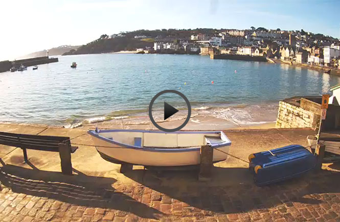
Just started lightly snowing on the St Ives Harbour Cam
 St Ives Harbour webcam | Aspects Holidays
WWW.ASPECTS-HOLIDAYS.CO.UKWatch our St Ives harbour webcam, which shows the views of the beautiful harbour from our office in St Ives, Cornwall. Next time you're walking past, don't forget to give us a wave!
St Ives Harbour webcam | Aspects Holidays
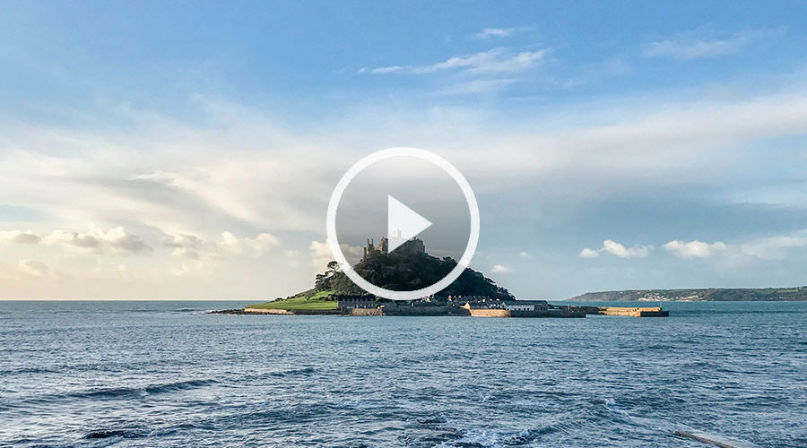
WWW.ASPECTS-HOLIDAYS.CO.UKWatch our St Ives harbour webcam, which shows the views of the beautiful harbour from our office in St Ives, Cornwall. Next time you're walking past, don't forget to give us a wave!And at St Michael's Mount
 St Michael’s Mount webcam | Aspects Holidays
WWW.ASPECTS-HOLIDAYS.CO.UKWatch our live St Michael’s Mount webcam situated at Chy an Leddra, one of our lovely holiday homes in Mount's Bay.
St Michael’s Mount webcam | Aspects Holidays
WWW.ASPECTS-HOLIDAYS.CO.UKWatch our live St Michael’s Mount webcam situated at Chy an Leddra, one of our lovely holiday homes in Mount's Bay.Lol, I jumped straight onto that webcam after looking at the radar although nothing was falling at that point.
-
 1
1
-
-
Streamer hitting the far south west tip of Cornwall, hope that's delivering snow for those living down there who want to see it
-
 3
3
-
-
- Popular Post
- Popular Post
Now when something like that happens I class a cold spell as being decent, that was the 2018 bfte. The shower streamer that setup in the channel caused this, also hit parts of south devon as well.
-
 10
10
-
-
2 minutes ago, AWD said:
The BBC use Meteogroup who are heavily biased towards the EC model. The 12z EC Det showed the above scenario you mention, therefore it's no surprise that the BBC forecasts go with this.
Their next update based on tonight's 12z ecm could be an interesting watch.
-
 2
2
-
-
2 minutes ago, Weather of Mass Disruption said:
I don’t know if the Beeb lag behind in terms of up dates but Tom Schafernaker just did quite a detailed weather report on the Beeb News channel and he showed this and also said they are expecting the cold to win out this week but next week is still very uncertain. I would say Thursday is most definitely our best chance of seeing cold down here this winter so I’ll everything crossed for us all in the SW to get in on the action
Yep just saw that forecast, got the impression their could be multiple battleground scenarios playing out in our part of the county.
-
 2
2
-
-
Hopefully I'm not the only one helping wildlife in our gardens during this freezing cold weather at the moment, lots of stunning goldfinches on the feeders, feel sorry for them out there in that bitter wind!
-
 4
4
-
-
GFS 18Z, run of the bloody century, absolutely bitterly cold right out to the end of the run. Absolutely insane that run!, don't think anyone has seen anything like that in the Internet era.
-
 4
4
-
 1
1
-
-
-
1 minute ago, sukayuonsensnow said:
End of week may be of interest for battleground scenarios (always potential the easterly may prevail and push this more west). This via GFS 12.
Central Southern England could do well here, but I suspect similar to a snow event in January 2013 higher ground in C/E Wales would benefit the most in this setup, perhaps N Ireland too.
This will need watching in the coming days.
Hopefully that weather front makes less inroads than this shows otherwise it's a bust imby.
-
46 minutes ago, gman88667733 said:
My MO app showed snow tonight at 2am for a good 6 hours and now just shows fog. What ?!
Wouldn't waste your time with that if I were you, with the snow last Sunday that app was showing rain here the night before, then it was showing a few hours of heavy snow, then it showed snow turning to rain & then it showed it staying as snow.
In other words, it's an utter waste of your time to keep looking at that app, my advise is to watch the met office weather videos on their youtube channel, they post updates throughout the day.
-
 4
4
-
-
-
Things suddenly looking a lot more interesting aren't they, I wonder if that front on Thursday ends up stalling on the south west, if it makes it this far at all that is & the flip in the mid term on the models is awesome to see with a scandi high looking to build.
And before all that Tuesday is looking interesting as well for those further south & south west although it looks like I'll be too far north east to benefit.
-
 3
3
-
-
2 minutes ago, georgiedre said:
I'd be good to see his opinion.. anyone know his twitter details.. could you post a link here
https://mobile.twitter.com/Steve_RSport
-
 1
1
-
-
28 minutes ago, keithlucky said:
He was abusive to Chino he deserved it
Big loss to the forum if you ask me, Steve was a very knowledgeable poster & I for one certainly looked forward to seeing what he had to say. I've seen far worse stuff going on in the mod thread over the years but nobody got banned!
-
 3
3
-
-
1 hour ago, Rapodo said:
Why do we all have secret identities on here anyway with made up names?
Nothing made up about my name, picked it as it was the name of one of my budgies I had when I first joined the forum.
-
 1
1
-
-
Need that low pressure to be a lot more flattened & elongated rather than round shape as being rounded will just push mild air up into the south & south west.
Fingers crossed, I think its safe to say the models haven't got a grasp fully of what will happen later next week with that low pressure but as it stands right now any snowfall will probably be short lived & not the classic battleground event I was hoping we'd see.
-
 4
4
-
-
8 minutes ago, Jayfromcardiff said:
Can we make it three Sundays in a row for snow?
oohh your playing with fire with what you just said in the mod thread, I like it though lol
-
 1
1
-
-
-
Well I notice a very showery westerly airstream seems to push showers all the way over to the east so why wouldn't a showery freezing cold easterly push those showers all the way over to the west, strange how they seem to die off quicker than rain showers do! Mind you back in the bfte in 2018 one shower made it across and hit here, left a nice covering so I can see why those in the east love these rare setups, multiple showers like that would build up the totals in no time! Can remember back in 2001 (maybe 2002) when I was visiting great yarmouth, the night before I was leaving there was rain showers that were forecast to turn to snow showers over night, waking up the next morning there was deep snow outside, easily around a foot deep & that was just from showers! Must have been very localised though as not far out from GY on the train heading towards Norwich there was hardly any snow lying.
-
26 minutes ago, Frank Trough said:
The METO FAX charts don't suggest to me that the initial frontal stuff will get very far west, perhaps hence the warning areas? But as we know, these will change between now and then and other little features could pop up.
As for sliders next week i'd rather not be relying on them IMBY - any sort of onshore flow that hasn't got plenty of southeast surface flow about it will be the dreaded "marginal". I would rather it missed altogether to the south and kept the cold going a bit longer (stay in the game as long as you can and see what happens) than gave us rain and a dumping to the midlands etc.
mind you, if a slider goes completely right........:)
Yep recent bbc forecast completely changed now, just east anglia with snow, earlier forecast must have been pre-recordered or using old data.
-
 1
1
-


South West and Central Southern England Regional Weather Discussion 08 Feb 2021 Onward
in Regional
Posted
Strange ice formation on my bird bath this morning.