


captaincroc
-
Posts
645 -
Joined
-
Last visited
Content Type
Forums
Blogs
Gallery
Events
Learn About Weather and Meteorology
Community guides
Posts posted by captaincroc
-
-
1 minute ago, Spah1 said:
You just know it will end up in the Midlands!
Well geographically I am on the Cheshire border so have more weather relationship to the North West as most of the 'Midlands' events (like the past few sliders) we miss.
-
12 minutes ago, Joe Bloggs said:
12z ARPEGE is actually a brilliant run for tomorrow. For mine and @Day 10 ‘s benefit (other frames are better for other parts of the region)

Boooooo!! You've pinched our streamer!! Dam that shift north
-
 1
1
-
-
2 hours ago, Joe Snow said:
For Sandbach I've used Xc weather that tends to be the most accurate in terms of temp locally more so than BBC and the MO. I'm hovering around 1c max throughout much of the week with the risk of ice days increasing as the week goes on particularly if we get snow cover to lower overnight temps so with your height ice days definitely likely particularly mid week onwards. Dew points are low too so any snow will be the powdery type that sticks around and ices over. Fingers crossed you get a good covering of snow too - Stoke/ North Staffs looking well placed. Hoping S Cheshire can get in on the act tonight into tomorrow/Tuesday.
Cheers Joe.
Fingers crossed eh? I think some are really going to get it and others aren't, this is the nature of the streamers...at the moment we are in prime spot with some complaining (rightly so ) that they aren't under the streamers for tomorrow...but then the 12z could shift it north or south...it really is a wait it out type of event. I just want to enjoy it for what it is...otherwise I will get overly frustrated if the streamer moves etc. What I would like is a subzero day so what snow falls - and I expect us all to see some falling snow - will stick and blow about.
-
1
-
-
What temps are we expecting in the day Monda/Tuesday onwards? Not sure which sites are the most accurate? I would love ice days so every flake that falls sticks and blows about.
-
24 minutes ago, Joe Bloggs said:
Now that’s what I’m talking about. A true weather fan. Sod the charts.
Cheers Joe, I don't think I'm the only one here...
These are my pics (link to insta as not got them on my laptop) from the last BFTE. I love the shapes of the snow drifts (be it small as only light snow fell) but how the snow filled up the holes in the ground too...
https://www.instagram.com/p/Bf_xqSug2-Y/
-
1 hour ago, Joe Bloggs said:
I can confirm my first snow flurry of the cold spell here. Encouraging that already, the showers are reaching here, even if extremely light.
I love the onset of an easterly. The grey, leaden skies and hearing the wind rattle. Watching the temp and dewpoint go lower and lower.
Me too...this is why I love the weather. It just fills me with such joy to 'feel' the different weather. The feel of the air, the different clouds, just seeing the clouds coming from a different part of the sky...etc.
I am hoping for a freeze to see the lakes etc here freeze, always cool to see. Also I low the shapes the drifting snow makes (as remember them from the last BFTE.Fingers crossed we all get some sort of snowfall. Who knows what we will get? I am under some sort of streamer tomorrow but will just enjoy my day and if owt falls from the sky then it's a bonus.
-
4
-
-
4 minutes ago, Joe Bloggs said:
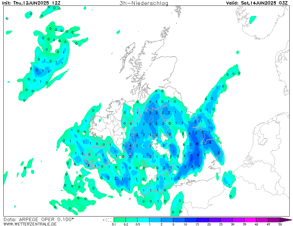
What a chart for T+78. A cause for celebration. I’d genuinely be very surprised if it was dry.
This is what I've been looking out for too. On the face of it, direct easterlies gradually give lower falls the further west you are...that I agree with and is what many people are worried about.
...but I have been saying (to myself) that if we get some disturbances, kinks etc then we all have a chance of a decent fall as that will still make it over the Pennines...even if it's a few cm. Fingers crossed for more of that kinky shizzle
-
1
-
-
I know I'm just out the are now but would still to be involved. Can I guess for Crewe? I am going for 11cm.
Where I live now...14cm.
-
7 minutes ago, Day 10 said:
I'd be very surprised if snow doesn't make it here by the end of next week.
It does not look like a typical dry Easterly but the more rare version of unstable and very cold (87, 91 & 96).
Troughs & disturbances are bound to form and not get picked up until late notice.
I'd be ecstatic with a couple of cm's of powder snow blowing about!
This is what I keep saying. I'm not saying we will get 10ft drifts but in this set up with such low thicknesses and instability, some features will surely pop up nearer the time.
Plus like you, I can't wait to see a few cm of Powder snow blow around. Cannot complain about the snow I have had but would love to see the dry continental snow being whisked about in the wind
-
2
-
-
I am quite optimistic in our chances of snow. Yes, we won't compare to the east, they are going to get battered! But the air looks extremely unstable with low thicknesses so I reckon there might be a few organised fronts passing the country, or periods of snow popping up at last min, especially if the uppers get modelled downwards nearer the time (as what happens a lot).
Even a few cm of blowing snow would be cool to see...but obviously I want more!! haha.
-
4
-
-
1 hour ago, Manchester_Sunset said:
Weekend looks very interesting
This post is very good to see. If the Met O are starting to ramp this weekend then they must have some confidence in the Easterly coming in. Maybe Mogreps is in on it too? On paper, it is ALL the models vs GFS Op...so you would *hope* it is looking the easterly is looking the likely option...but you never know? That's why having the professionals sticking their neck out must be a sign of confidence. The 6z GFS shifted early doors in a better direction, let's hope the 12z finalises the deal.
-
1
-
-
Not been online much the past few days but what a bloody turn around. There will come a point when it will be 'nailed on'...I'm guessing that point will be from when the low and it's behaviour becomes more cemented. I might have to have another 24 hours away until then! haha.
I am way too south for any of the good stuff tomorrow but I wish my fellow NWers some of the falling stuff. Especially Cumbria, where I know have had next to nothing.
-
3 minutes ago, Day 10 said:
Still looking OK for Tues, a period of moderate to heavy snow looking likely for all before maybe turning back to rain in the south of the region.
Need a correction south a tad to keep it as snow, but looking a better prospect than last week. I'll post some charts later.
Not bothered on today, it was always looking a bit meh.
This one better correct south like all the other scamps the past few weeks
-
3
-
-
If it helps, started off as rain here now snow...but wet and not sticking
-
2
-
-
28 minutes ago, Spah1 said:
Seriously what is it with these systems and not reaching Lancashire. The slider (think 2013) didn't reach. I think Crewe got some of that. 2017 slider or was it 2018 didn't reach. Last weekend didn't reach. Saturday won't reach. Why can't it hit the South Lakes just for once. I don't understand why they always just about reaches Cheshire.
I am not trying to shoot down your frustrations but even when they do touch Cheshire, literally spoon all falls from the sky as we are in the shadow. Even last weekend we were right over it but somehow seemed to have a few flakes yet 15 miles east has 6-7cm. But I agree, they always seem to stall in the same spot.
From a 'Grass is greener...' point I want the bands to push further north so we aren't in the 'weaker' part of the band so will help negate the shadow a bit more.
-
4 hours ago, Joe Snow said:
Crewe has its own mini micro climate when it comes to snow I think! Mixture of a mini urban heat island effect and Crewe & Nantwich being sheltered more by Bickerton Hill and the Welsh hills to the west/ NW. The difference in snow cover can sometimes be quite dramatic especially in a NW/ NNW scenario like early January 2010 where Stockport got close to a ft of snow where Crewe managed only about 5cm. Even here in Sandbach 5 miles down the road we got 10cm. The mind boggles!
 South Cheshire has done pretty well though this Winter so far to be fair. Hope we can all squeeze some more snow out of it come February!
  ️
️
I'm sure @CreweCold can back me up but that famous night in January 2010 when part of Manchester etc got a ft of snow was from a front moving south. From my memory it was the WNW winds that proceeded it that made the difference. Lots of the region got plastered by streams of showers but due to the wind direction the south of the region (CREWE!! haha) got minimal from those so only had the 5cm from the front. So even places a tad more east or north did a lot better 'pre-front' then Crewe, That's why 2010 was an amazing period to experience, in Crewe snow wise it wasn't off the charts so to speak. Some beautiful falls but nothing too deep.
Also all the talk of Feb 91. I was in primary school and remember it well. It started snowing in the day, pure powder snow blowing about on dry ground. Never seen snow stick on every surface midday, normally it has crept above zero so doesn't stick to the road or roofs etc...but I remember it falling like dust and slowly blowing about on the ground. Was there for AGES. We had to build flat snowmen in our street as the snow was too dry.
-
5
-
-
We too got a sprinkling from a rogue shower last night... There was a lot of snow already on the ground but the shower re-covered the roofs etc. I quickly took this picture as it's SO beautiful to see the bright blue of the sky and the sun on the snow without the snow melting in seconds off the roofs and the sound of drip drip drip. Stunning.
-
3
-
-
3 minutes ago, WillinGlossop said:
A good friend of mine has been swimming off north Kent coast every morning first thing... blooming freezing ... probably warmer water than air temperature today...
i did have a swim first thing every morning when we went down in July... but sea was a lot warmer then even though it didn’t feel like it...
I'm one of those weirdos too... I went the other week in Keswick (before lockdowns) the edge of the Lake was frozen, as is the grass...
-
2
-
-
Edit... Actually under yellows now but nothing!! haha. What is going on? I know I am to the west of the Staffordshire hills so was expecting some sort of shadow but a yellow echo and nothing coming from the sky?
-
Like now... You would think that is pretty heavy stuff...literally NOTHING is falling from the sky
-
1
-
-
Funny old day snow wise... literally light snow ALL day. Real light, fluffy snow...left literally a mini dusting...then melted in some spots and now the dustings have begun to appear as temps drop.
What was weird was the 'Phantom Radar Echoes' as lots of the day we have been under Green on the Met O app but literally nothing falling from the sky? I do think it's the shadow and I reckon 10 miles further S/E it's a totally different outlook.
Have to say though, the snow was SO pretty falling.
-
1
-
-
Don't want to tempt fate but @Joe Bloggs, I think your finger is looking more girthy! Fingers crossed it brings great pleasure to MCR et al
-
1
-
-
1 minute ago, Joe Bloggs said:
It’s a very big batch of precipitation feeding up the Mersey estuary so yes I think you’ll be getting this for a while. Lots of pics please.
It’s 0C at Manchester Airport which is a good benchmark for other parts of the region / Staffs , you’ll be at freezing or below.
Will do, going to actually put the laptop down and watch it! haha. Will report back with pics when this batch moves through haha.
-
Just now, Joe Bloggs said:
Amazing! Looking at the radar I’m hoping to catch the northern extent of the big clump, as well as the finger. You geeks will know what I mean.
Fingers crossed for you Joe...as we know, we all love a good finger!
I reckon there could be a good hour of this looking at the radar? Easily 2-3cm already and settled on everything so temps must be below 0c
-
1
-


North West Regional Discussion Feb 2021 onwards
in Northwest Weather Discussion
Posted
That's more like it Joe!! You're back in the good books!