


wishingforsnow
-
Posts
312 -
Joined
-
Last visited
Content Type
Forums
Blogs
Gallery
Events
Learn About Weather and Meteorology
Community guides
Posts posted by wishingforsnow
-
-
2 minutes ago, chris55 said:9 minutes ago, johnholmes said:
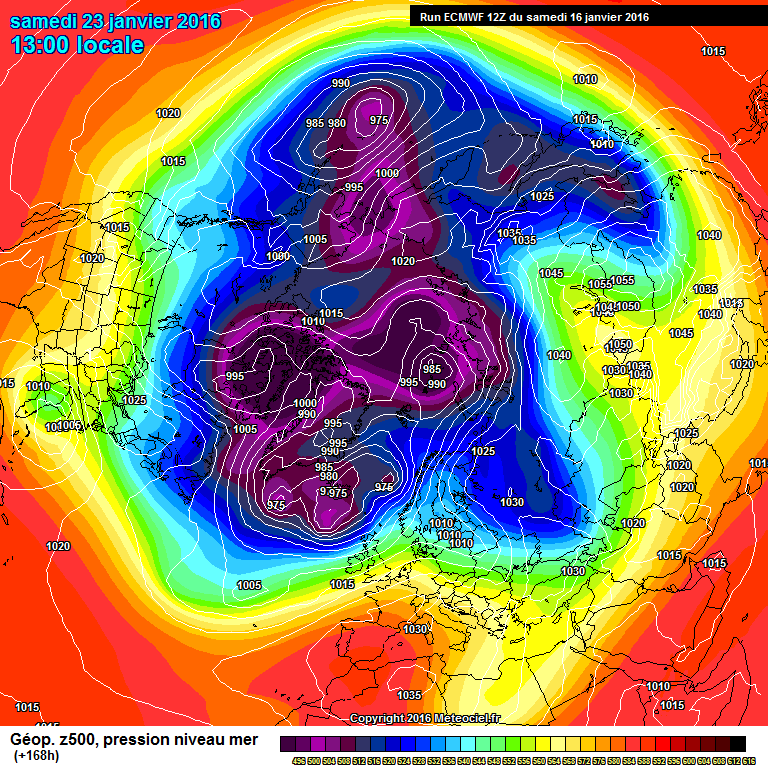
Not sure what to make of the anomaly charts, all 3 show a strong Atlantic flow into the UK arriving from south of west but with the ridge holding on all e and showing signs of strengthening perhaps. Heights rising re the anomaly in the far north off Norway, so links below
http://mp1.met.psu.edu/~fxg1/ECMWF_0z/hgtcomp.html
http://www.cpc.noaa.gov/products/predictions/610day/fxus06.html
So further possible evidence in models that this current cold spell ending does not mean curtains for further cold over the UK?

And it would be a nice little miracle if the cold did end up surviving next week although its extremely unlikely. But that doesn't mean it won't be back at all.
-
6 minutes ago, minus 9 said:
Been reading the forum for 5 years now. I think we need to understand the models, they only show what might happen(not what will.).
Yes, they are guidelines for current and possible future weather but the actual weather has sometimes been different to patterns shown in the models, and flips to the opposite occurred sometimes at the last minute i.e 1 or 2 days before the supposed 'weather event' was to happen such as the famous 'failed Easterly' of December 2012.
-
25 minutes ago, igloo said:
slowly but surley the JET and the PV are taking over again from mid week onwards i think we will need a SSW event soon or the netweather winter forecast for febuary will be spot on for another very mild month
Further down the line there have been growing signals and models suggesting blocking returning and PV weakening after the Atlantic incursion (charts for 31st January although they are still deep FI).
MO today and for the past few days mentioned a breakdown of the current cold conditions and Atlantic dominated weather to return for a while next week after this current cold spell ends however they are now also stating potential for colder conditions increasing as we enter February. And they have access to more advanced models and sources of data to provide short and long term outlooks. I estimate a short period of zonality for mid/end January but in considering the current state of the atmosphere and conditions in Continental Europe and Scandinavia, yes, there probably will be a breakdown of this current block but on the other hand I don't think there will be a full return to the mild and wetness of November and December for February and the rest of winter after this return of the Atlantic occurs. It may not be over for cold, but only just beginning
-
 2
2
-
-
4 minutes ago, IDO said:
Hi. Yes I think February and March could be interesting, especially if a SSW event occurs. Just need the blocks to sit in the right place when the flood gates open.
Indeed. And as I'm sure this has been mentioned by others, previous notable cold spells such as January 2013 also had a temporary Atlantic breakthrough before the cold blocking returned becoming stronger and more prolonged
-
3
-
-
- Popular Post
- Popular Post
Hi guys I'm new to this forum but I've been a lurker for a while. This is my first post.
Anyway, going by the Met's latest 30 day outlook, hints from Ian F and recent background signals, I think that if/when there is an Atlantic breakhtrough of the block next week it will not be for long before perhaps an even larger, stronger cold blocking spell arrives at the end of the month in time for February. Also that would tie in with the long range forecasts made at the start of Winter 15/16 that February would likely be the coldest month.
-
17

Model output discussion pm 13/01/2016
in Forecast Model Discussion
Posted
Might slightly be off topic for models specifically but Matt Hugo's latest tweet suggests 'a return to December weather is not expected' @MattHugo