


Grimers
-
Posts
184 -
Joined
-
Last visited
Content Type
Forums
Blogs
Gallery
Events
Learn About Weather and Meteorology
Community guides
Posts posted by Grimers
-
-
1 minute ago, knocker said:
After initially building heights to the west and adjacent to the UK the EPS from the around the 23rd to the 27th (end of run) builds the heights quite strongly to the NE. Indications are that the surface HP cell would possible be around southern Sweden if this scenario materialized. Be afraid; be very afraid.
What are we supposed to be afraid about, knocker? I can't see anything to be afraid about...
-
 4
4
-
-
The GFS model and the ECMWF model show a low to the W of the UK bringing average temperatures on Sunday.

-
4
-
-
The GFS model shows a strong low crossing the UK next Wednesday bringing some significant colder air and gale force NW winds across C and S parts of the UK.
-
4
-
-
The ECMWF model shows Monday to Thursday to be quite chilly as an area of high pressure stalls over the UK. Frosty nights are not out of the question especially in the valleys. However, there are hints of the Atlantic taking hold again on Friday.
The GFS model develops a low on Tuesday which strengthens as it moves NE from the Bay of Biscay giving gale force westerly winds across SW parts of the UK. Something to watch, possibly.
-
3
-
-
The GFS model shows a weak low to the SW of the UK giving light SE winds to all parts of the UK on Saturday.
The ECMWF model shows a fairly strong low to the SW of the UK giving moderate S winds to W parts of the UK on Saturday.
The UKMO model shows a weak low to the SW of the UK giving light SE winds to all parts of the UK on Saturday.
-
3
-
-
On 10/10/2016 at 20:15, Frosty. said:
The Ecm 12z looks increasingly trough dominated as time goes on but at least temperatures recover once we lose the ESEly.
Yes, just had a look now that the run has completed. This is one corker of a low giving gale force W winds around exposed coasts next Tuesday, still it's quite far off, but as well all know the ECMWF is quite an accurate model.
-
2
-
-
Just now, knocker said:
By moving north I just meant slight ridging to the west of the UK which would just veer the upper streamlines a little to maybe WNW.
I understand now. Thanks for clarifying.
-
1
-
-
On 10/10/2016 at 20:03, knocker said:
Now you have lost me completely.
Actually, that's a point. If the high pressure moves N, it could mean that low pressure could move in from the SW... But, I feel that the E wind will win in the current setup, but who knows.
-
On 10/10/2016 at 19:53, knocker said:
As me move into the ext period perhaps a hint of the Azores HP pushing north, something the EPS has been hinting at.
You know what that means? The E wind continues...
-
The GFS model, ECMWF model and the UKMO model runs all show a more organised low in the E Atlantic giving moderate S winds to W parts of the UK on Saturday. This a change from previous runs when they were showing a low further SE.
-
1
-
-
3 minutes ago, I remember Atlantic 252 said:
hope not William! best to use the high res charts though
Sure, I was using the Europe version to show more of the Atlantic.
-
1
-
-
22 minutes ago, Frosty. said:
Yes William, the synoptics for much of this week would be perfect for snow showers piling in from the north sea..hopefully it will return when it's winter.
Well, if the EC seasonal is to be correct, I think that's very likely! But, it's still too far away to even think about predicting snow let alone 24 hours in advance...
-
2
-
-
According to the GFS model, it's looking rather wet later on this week and into the start of next week!
-
1
-
-
According to the GFS model, the ECMWF model and the UKMO model, on Thursday, for S parts of the UK, it's looking windy for S parts of the UK. Also, Saturday's low out in the Atlantic which in previous runs was making it's present felt across particularly S parts of the UK is now shown to be further SW, meaning that it's likely it will no longer impact the UK. However, what is obvious across all of these models, is the chilly E wind across the majority of the UK.
-
3
-
-
6 minutes ago, Frosty. said:
Anyway the headline this week is sunny spells, showers in the east and becoming colder.
If only this was in mid-Winter! We'd have reports of snow across East Anglia this morning.
-
1
-
-
1 minute ago, knocker said:
Quite a marked signal this morning from the EPS tp shunt and decline the Scandinavian HP east and to build the Azores north adjacent to the UK. This could raise the temps a little above above average if it comes to fruition.
Let's hope it becomes a big if.
-
2
-
-
16 minutes ago, knocker said:
Well if the opportunity fails to arrive, as seems very likely
May I ask where you're getting this from? Anything could happen.
-
2
-
-
1 hour ago, knocker said:
The ecm is running with a similar idea as the GFS for the weekend but with TS coming into the mix what is going to evolve later is best left.
Yes, looks like I may need to shift my attention towards this low rather than the nearly non-existent low on Friday.
-
2
-
-
There's not much difference in the ECMWF model, UKMO model and GFS model this morning.
The ECMWF model shows a very weak low in the E Atlantic which doesn't make any impact on the UK.However, the UKMO model shows a weak low over France meaning a moderate E breeze for all parts of the UK.
However, the GFS model shows a weak low over the English Channel meaning a moderate E breeze for N parts and a light E breeze for S parts of the UK.
So, to summarise, the ECMWF model shows a weak low to the W of Ireland, however the UKMO and GFS model shows a weak low to the S of the UK.
-
1
-
-
On 10/9/2016 at 12:05, knocker said:
He also mentioned low pressure to the south west so i can envisage some warm south westerly zephyrs. He also added the caveat best wait for the November outputs.
I thought that low pressure to the SW brought SE winds from the continent meaning colder and drier conditions, certainly not winds from the tropical maritime air mass.
-
1
-
-
On 10/9/2016 at 11:56, bobbydog said:
i wouldn't worry about short term variations for now, tentative good news is, from ian ferguson, the EC seasonal is showing HP anomalies over Greenland/N-NW of the UK. from november right through to february!
So, I would presume this is suggesting a colder than average Winter then? A high to the N and a low to the S mean E winds...
-
2
-
-
There's a bit of a difference in the ECMWF model, UKMO model and GFS model this morning.
The ECMWF model shows a weaker low to the W of Ireland introducing less of an E breeze.However, the UKMO model shows a low to the S of SW England introducing an E breeze making it feel chilly in exposure.
However, unlike the ECMWF model and UKMO model, the GFS model shows a somewhat weaker low over SW England instead of in the Atlantic approaches.
There's obviously disagreement in the models, but seen as the low is not very significant, there's not a lot to be concerned about.
-
3
-
-
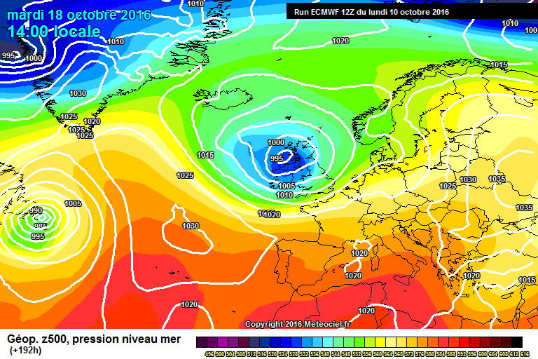
The chilly spell that has been over most parts of the UK for several days continues on into next week as both the ECM model and the GFS model show. However, the ECM shows a somewhat deep low just to the WSW of Cornwall possibly bringing strong SE winds to W parts of the UK.
However, surprisingly the GFS model predicts the low to be weaker but still in a similar position.
It seems to be the only interesting day next week apart from the persistently chilly NE wind.
-
4
-
-
1 minute ago, bobbydog said:
i missed that, i wondered why you had a new profile, were you a naughty boy william?
Just a new start that's all.
-
4
-


Model Output Discussions 12z 01/09/2016
in Forecast Model Discussion
Posted · Edited by Grimers
The ECMWF model shows a low crossing the UK from W to E giving strong NW winds across S parts of the UK on Tuesday and Wednesday. However, a large area of high pressure moves in behind from the W and stalls over southern parts of the UK giving light S winds to southern parts of the UK and it also shows a low to the N of Iceland giving strong SW winds to N parts of the UK from Thursday to Saturday.