


Snowjokes92
-
Posts
481 -
Joined
-
Last visited
Content Type
Forums
Blogs
Gallery
Events
Learn About Weather and Meteorology
Community guides
Posts posted by Snowjokes92
-
-
49 minutes ago, Cheese Rice said:
ECM snow accumulation charts.
Still time for change

Will probably change and I don't hold the snow accumalulation charts on any model in high regard. We saw how nowcasting last Friday was. Think some places had a foot of snow last Friday if I remember. Don't think the snow charts were accurate with depths at least.
-
38 minutes ago, Scott Ingham said:
Type in your location on google and put latitude mate
Thank you I found a 'how high above sea level am I' app. 160m so thats settled things for me. Knew it was over the 150m mark
Thursday/Friday event looking like one of those surprise short notice, significant snow events. Lets hope it pulls off and it doesnt look like it will leave quickly either. Amber warnings at the ready?
-
Its okay 160m above sea level
-
6 hours ago, Scott Ingham said:
Weather warning out for us.
If your above 150metres.
5-15cm widely
With local spots touching 30cm
If this is the case wednesday could turn amber or red warning
How can i find how high my location is. I am above 150 m i think but not sure what elevation
-
Settling snow and starting to get heavy finally!!
-
 1
1
-
-
Heavier stuff just quite not here yet very slow burner which is good
-
1 minute ago, Craigers said:
Wow cant believe what I'm seeing!!!
Looks like its perking up as it moves west as well. Barnsley and huddersfield in for interesting few hours!
-
1
-
 1
1
-
-
43 minutes ago, winterof79 said:
I am getting vibes that things may surprise us soon. Plenty of action building from the east
Looking better for those south of the front and those stuck on back edge of it all day
-
1
-
-
21 minutes ago, Aaron Roberts said:
Where in Kirklees are you? Plenty here in Calderdale above 200m.
Some more organised stuff coming in now to east of us now should be in chance for a few cm furthest south its been all day! Looks like its merging with the other front to north!
-
8 minutes ago, Aaron Roberts said:
Where in Kirklees are you? Plenty here in Calderdale above 200m.
Cleckheaton been under light stuff all day ? As the front literally seems to have stalled just further north mainly?
-
Still no covering here. Really am quite shocked. Hopefully some surprises still to come
-
Another bust. Rain here. Really do give up with this.
-
Getting a 2013 feeling with these wedges popping up at short notice and can only see upgrade from here. Ecm 144 hrs not far from a snow fest given a few tweeks with uppers.
-
Just now, Craigers said:
Certainly is! I've been on here long enough to see these little increments to a point where battleground setsup out of no where!
Exactly and with any mild weather been drained out of the equation, we should hopefully see the uppers upgrade. These borderline scenarios are usually the best events. The models know what they want to do, they just cant fit the jigsaw pieces. Thats my thinking.
-
1
-
-
Is that a near on snow event on the ecm 144 hours given a few tweeks with uppers?
-
1
-
-
Just now, Harsh Climate said:
Check out ECM 144h, wasn't expecting this!
Good cold spells or even major ones probably show up last minute especially during an ssw. Theres time for them to really open the flood gates at that timescale near a slider to cross throug the channel and bingo. Plenty time for this to manifest into something at short notice i think
-
1
-
1
-
-
Not gonna be a good comnute for those working in the morning and roads will be quieter so snow on roads might be an issue in heavier falls.
-
3
-
-
Hi all. Are the hints of ridges building,on the ecm for example in FI enough to keep us in the gam?. Not trying to be negative i have been a bit on fence last couple days. Thats even when I know how volitile models can be during SSW Events. Just hope we can keep these adjustments coming
Hope all is well with everyone. Last fews days just been a bit fed up with all the stuff going on at minute, struggled to motivate myself, let alone keeping a proper eye on the models. Just been a few flicks and reads on here. Anyhow, hopefully see some clarity soon within the models
-
6
-
-
Deleted
-
1
-
-
9 minutes ago, Spah1 said:
The MO have changed that long range forecast now. Someone didn’t like the wording
Why what was said originally?
-
7 hours ago, Jeremy Shockey said:
Very disappointing again overnight !
Fri looks to be our next chance ( although it is a decaying front ) moving South.
It will probably run out of steam as it approaches Yorkshire. ( i'm getting a bit weary of this chase now )
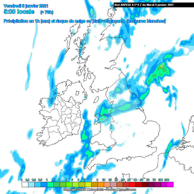
Aperge 0z Fri 8th
That feature will be non existent by time its gets to 0 hours if its anything to go by recent events. Though last weeks early hours snowfall was a bit of a surprise. Been a major let down in my opinion.
-
1
-
-
Raining here. Sorry to sound like a moaner but cant be the only one feeling a little let down so far? There isnt a real signal as to where we will be in next couple weeks at the minute and before saturday its looked like a good week coming up at least till friday. Even thursdays front system looks to be diminishing. 2c and rain doesnt do it for me. Give me a wind and rainstorm anyday over that.
-
Not been drawn in again with the 'significant snowfall' comments. The models are all over the place in 4 to 5 day time let alone the last third of January.
-
Not catched up on here today, just had a quick look at the days model runs. Must say, compared to yesterday feels like the the gfs and ecm trying to toy with the impacts of the warming at mid range, building heights to the north and scandi but not quite getting there. I think personally there trying to sniff it out, but struggling with the modelling of any impacts because of the warming


.png.9e36c0109684902003bbe4513d3ebadf.png)
Model output discussion - cold spell approaching?
in Forecast Model Discussion
Posted
A lot of really strange comments on here. Glad I can look at these charts and keep my personal take on the models to myself and not take every run like its nailed to happen. Especially given how up and down the out put is within 72 hours!
The cold spilling into the atlantic at 168 hours on the ECM, that a lot of people have picked up on,eventually swings the cold uppers to the UK not long after. Also given that it is FI anyway and by no means massively supported amongst the output its not something we should be overly concerned about yet in my view.