


Laurence Hill
-
Posts
417 -
Joined
-
Last visited
Content Type
Forums
Blogs
Gallery
Events
Learn About Weather and Meteorology
Community guides
Posts posted by Laurence Hill
-
-
7 minutes ago, mulzy said:
The slushy mess has turned into heavy snow lying everywhere - 2cm widely!
Hi Mulzy
I’m just down the road from you. How long do you think the snow will go on for.
i have an appointment at the Nelson 1500 hrs for my jab and really don’t want to miss it. Will be going by car.
-
1 minute ago, Surrey said:
Yes.. Actually looks better for more people as southern costal areas are reporting snow and even thunder snow (a rare beast I've only witnessed the vivd pink and purple lightning twice)
Some of the returns on the radar in the south are proper.. The snow must be mental under them!
Thanks Surrey, your reply appreciated.
-
9 minutes ago, Surrey said:
Some of the radar returns are coming in at 14-16mm an hour.. even if you sit under that for 15 minutes that could in theory drop 3.5cm of snow..
In ROUGH TERMS 1mm of PPN = 1cm of snow GIVE TAKE/10% at 1/10
Loving the look of the stuff behind the main band too.. Not many models forecasting that right...
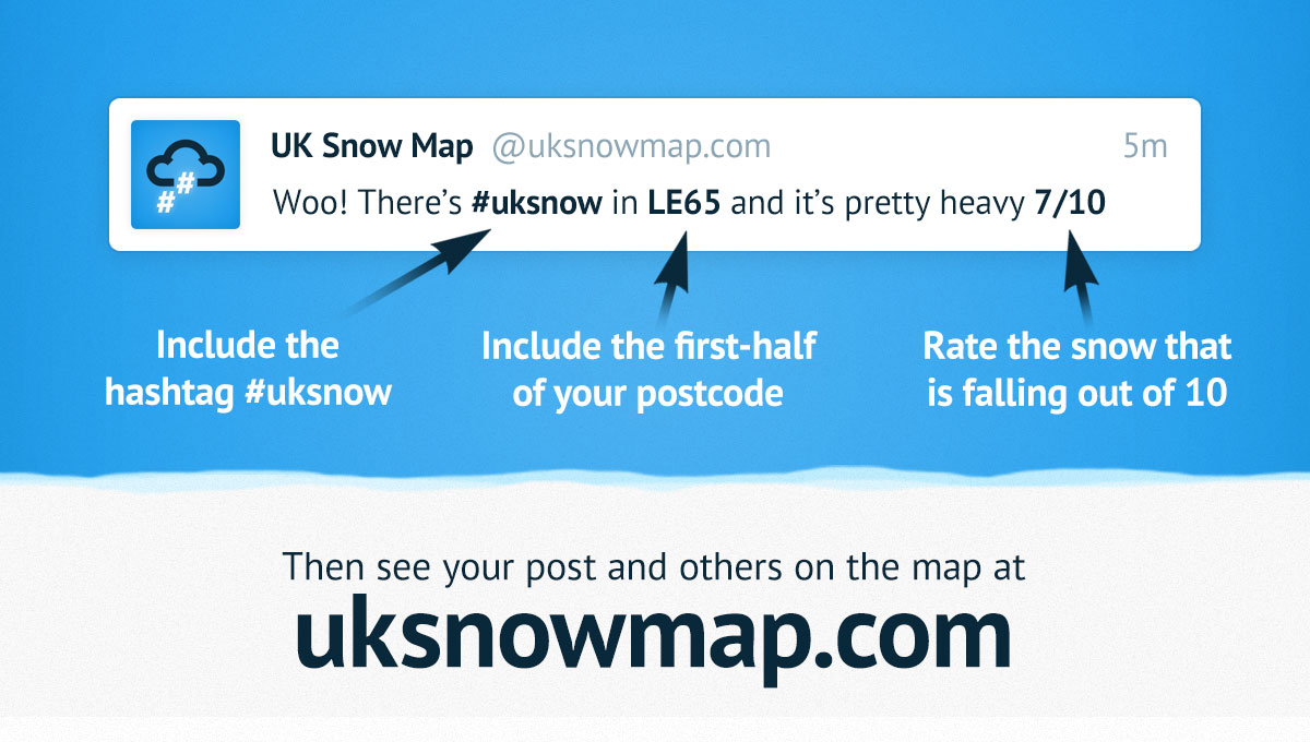
Handy tool for people as well, LIVE SNOW REPORTS:
 #uksnow Map
UKSNOWMAP.COMSee where it is snowing in the UK right now! UK Snow Map uses #uksnow Tweets to draw an up-to-the-minute map of where it is currently snowing in the UK.
#uksnow Map
UKSNOWMAP.COMSee where it is snowing in the UK right now! UK Snow Map uses #uksnow Tweets to draw an up-to-the-minute map of where it is currently snowing in the UK.Is it all going to plan for our general area?
-
A pity SM is not with us. He gave great support.
-
 2
2
-
-
35 minutes ago, Laurence Hill said:
Am I going mad or not. Recently I “ignored” a few users on the model thread and I now need to do some more. I can’t find this facility, has the screen layout changed?
I found it, thanks for all your help.
-
Am I going mad or not. Recently I “ignored” a few users on the model thread and I now need to do some more. I can’t find this facility, has the screen layout changed?
-
5 minutes ago, Daniel* said:
Can confirm here in Rotherhithe my dew point is -2.2C !
If so Daniel would a similar temp apply to SW London?
-
1 minute ago, danm said:
What's his twitter handle?
Steve M
@Steve_RSport
-
2
-
 1
1
-
-
54 minutes ago, danm said:
Steve Murr has deleted his account?? That’s a disaster.
You can follow him on Twitter
-
1
-
-
41 minutes ago, NewEra21 said:
The problem with the mod thread is all you see is boom this and boom that, people looking at 850s, snow depths etc etc when the pattern isn't even locked in.
I'm all for the fun of looking at snow charts etc, but the ott ramping in the mod thread is just unrealistic and can fool anyone into thinking the next mini ice age is on our doorstep.
And if you try to be more grounded on the mod thread you'll just get shot down for not saying what people want to hear. I'm all for disagreements and different opinions, but the mod thread is a very IMBY spiteful mess at times. One northern guy last night was literally boasting how he hopes the SE gets nothing while he gets buried in snow.
And while there are some great informative posters on the mod thread, there are also a lot of childish know it alls.
Rant over, sorry guys
Agree and very cliquey as well.
-
1
-
-
Few flakes over Raynes Park . Almost forgotten what it looked like.
-
1 hour ago, Steve Murr said:
Transititon to sleet & snow tomorrow eve **
That’s what I like, short, to the point and positive.
If it doesn’t come off, not the end of the world and as it’s from a respected contributor I look forward to his next forecast.
-
Temperature 1.7 and dropping on my old weather station that had contaminated battery contacts, now repaired with vinegar (thanks YouTube).
-
3
-
-
1 minute ago, AWD said:
Sorry mate but what is "increasingly abnormal surface conditions" mean?
Bloody cold
-
4
-
-
21 minutes ago, Biggin said:
Anyone else think its gone a bit quiet on the mod forum this morning ?? It seems a bit glum, as if things are not going to plan after so many stella runs, maybe the predicted SSW can get us back on track?
Does seem a bit down, then I listened to John Hammond on LBC about an hour ago, he seemed very upbeat about the cold prospects.
-
2
-
-
27 minutes ago, Frosty Winter said:
Thank you so much for your objective analysis recently. I would rather read posts from people that use their experience to make a brave prediction any day rather than read posts from people who merely come on here to look for a ‘told you so’ moment if anything goes wrong with a cold spell. Keep it up, although I don’t know how you’re still awake at this point.
Also worth thanking @Kasim Awan for your updates recently as well on the snow situation. I could add so many names but you 2 have both been great recently with consistent updates.
New kids on the block, well done to them.
-
3
-
-
@Steve Murr really look forward to your input, but wish you hadn’t mentioned the “marginal cold” on the other side. Now we’ve got all the spoilsports/trolls/stirrers jumping on your observation and now it’s the end of winter.
could you please sort them out - I know you can do it!
P.S. welcome back
-
1
-
-
1 minute ago, Steve Murr said:
One last indulgence > Significant upgrade in the ENS for Xmas day
I checked the panels > London 138 coldest member is -9.2c !!! Will snow flurries!
( ENS 23 )
Indulge as much as you want Steve.
-
2
-
-
Just let the cat in and dried him off. No snow yet.
-
13 hours ago, Daniel* said:
Don’t forget the snow showers... conditions actually look good!
Morning Daniel*, is this event still on the cards?
-
That band of PPN is very slow-moving.
-
4 minutes ago, Daniel* said:
The Estuary has really beefed it up torrential rain in SE Essex moving west to much more friendly conditions.
By friendly do you mean potential winteriness.
-
7 minutes ago, Daniel* said:
Surprise snow for some this morning? Conditions not bad at all north and west of London. This seems much more substantial than forecast my temp 2.8C and dew 1C despite thickening cloud temp dropping. With heavy precip incoming from east I’m slightly curious.
Looks interesting, hasn’t reached here yet.
-
6 minutes ago, Steve Murr said:
So a few finer details plucked from a high res model.
The best track for widespread snow ( based on the fact that theres some elevated locations ) is just across East kent.
This is because the system keeps the milder WAA to the East & actually tucks in colder air & lower dewpoints from the west -
Seen here
This is achieved by having a system that does have some rotation > not loads so the North sea air mixes into it & not to shallow as the cold air doesnt make it-
So whats being modelled right now for about T30-36 is a system that sits rights in the zone for advecting cold air over the SE right at the time when the PPN hits...
Here is a snap shot of high res model- for Friday 07am
So if things follow the forecast ( or at least the most promising forecasts ) the rain / Sleet will turn to snow from the west as that cold air digs across with the process taking an hour or 2
In terms of the GFS I highlighted a part of the ENS thats much under used IMO which is the ENS height of the 0C isotherm ( Freezing level )
For the SE to see settling snow Ive set my benchmark at 150-200M > Which covers the downs & chilterns
Friday 09z was the peak of the PPN so heres the 00z ENS for that time
There was 5/30 under 200M ( not very promising ) & 6/30 Under 300M
Heres the 06z
There was 4/30 under 200M & 9 under 300M
So a definite jump into the 2s but not 1s.
Hot off the press there are
6/30 under 200 & 10 under 300.
This indicates to me that the GFS is moving towards rather than away from the snowy solution, its doing this by 3 metrics
* Deepening the system & increasing the rotation across the SE through the early hours
* Sharpening up the jet thats over the SE coast pulling it slightly west so the PPN belt is over Lon & home counties not East kent
* Enhancing the PPN plumes thus dragging the ZDL level down.
Based on all that then if it all holds together as planned a few CMs could occur > 200M & locations >100M could well see snow falling but not necessarily settling.
Im 140M so feeling very much 50/50 but luckily have the 240M lookout point at west kingsdown radio mast just 2 miles away
hope this helps !
S
Bloody brilliant Steve, thanks very much for keeping us in the loop.


South East and East Anglia Weather Discussion January 2021 onwards
in Regional
Posted
Hi Reefseeker, I’ve just noticed your little advert for London Walk on YouTube. Had a quick look and it’s brilliant. Wish I knew about it when I was more mobile. Well done!