


Snowmadsam
-
Posts
1,127 -
Joined
-
Last visited
Content Type
Forums
Blogs
Gallery
Events
Learn About Weather and Meteorology
Community guides
Posts posted by Snowmadsam
-
-
Just now, Mucka said:
Jet too flat this run I reckon but all irrelevant for now when FI is 96/120h
It has been hinting as Scandi high though and that seems to be in line with MetO forecast.
The chart above is for the 6z, it should be noted
-
4 minutes ago, Liam Burge said:
Hey guys. Could the models push the cold air even further south and provide the south-west with cold enough temperatures for snow or am I just being wishful for nothing?
Tbh that does sound plausible based on the trend of late. Treat it at the moment as 40 for /60 against in terms of percentage. Oh and wait for the ensembles (thats the graphs). If those lines go down towards colder temperatures, then chance increases. Also consider "skatter" if the lines look all over the place it means that computer models are uncertain.
-
 2
2
-
 1
1
-
-
GFS 12z is ALSO keen on splitting the low. We maybe getting SOME form of x cross agreement at last
-
3
-
-
Been a while!!
Models IMO are still overstating the strength of low coming in as we move towards the 25th. I did notice a SLIGHT SE dive on the 6z GFS opn run this morning. There is still a lot to resolve. I wouldn't take anything as a given just yet. I do sense that the block maybe stronger than what is being suggested.
-
2
-
-
Whilst this cold spell maybe coming to an end, at least people have seen something white fall from the sky and experienced it?
Personally, I’d rather get this over with so people can get their COVID jabs. Then come back next year with hopefully a better shot at cold.
Model wise, things are looking to warm up this morning, but I have an inkling based on long range options which came out last night that it may only be a window of mild before we get back into the freezer before months end (ECM)
-
3
-
-
- Popular Post
Mods - sorry!
But LORD!
I have NOT seen a NH profile like the ones we have seen on the 18z this evening in YEARS! Whether this is a trend or not is yet to be seen. But there is plenty to watch and everyone will be in with a shout based on today’s outputs
-
11
-
1
-
A highly interesting ECM tonight. I stopped watching at 144 - there’s no point looking any further. Cold blocks are hard to nudge out the way.
Regarding any potential sliders, this will as ever need to be looked at. I’m not buying the evolution between 144 and 168 hrs. I do think there will be more of a clash in that - the word needs watching springs to mind.
Elsewhere, a mixed bag but I can now draw the conclusion that snow boots will indeed be needed as the weekend goes on...but for how long - well that’s impossible to say at this moment
-
1
-
1
-
-
I'm still NOT calling this until below 72..... despite NWP all coming on board.....BUT the jump of the ECM on board does give me increased confidence....
-
8
-
-
3 minutes ago, andymusic said:
net weather has it Wales for tomoz and u can c thursdays event for wales on there too

This was from Paul originally on the model discussion thread
-
Just now, Scott Ingham said:
Looks a lot less marginal than the met forecast would have you believe with a snow line around 400 metres for the north thursday
Also brings a significant area of snow to South West Wales which needs to be kept an eye on.....
That part of the world gets accumulations quickly and at short notice
-
1
-
-
I thought I’d had a trouser accident but I spilt my water when I saw the 18z
what an op so far, this does CLEARLY need to be kept an eye on in the medium term, as others have said models are showing up ingredients which could make this very very cold
-
3
-
-
Just now, keithlucky said:
It's seems to reach East coast turns and come back obviously a lot weaker.Should see Amber Warming put out tomorrow.
May regain strength on the return as it passes the Bristol Channel/Irish Sea (if it makes it that far)
-
I expect with the snow band going west to east, it MAY stall earlier....
-
1
-
-
2 minutes ago, keithlucky said:
Colder air moving into NI front approaching Ni precipation snow.
Keep an eye for surprises, those who are in W Wales
-
1
-
-
hi all,
Charts are looking highly interesting for the next few hours. Went for a little drive into Pembrokeshire, could see evaporative cooling was clearly taking place by the raindrops having a more icy look to them on the windscreen as rain got heavier.
I kinda think of it like whipping up cream, it looks like nothing will happen and then OOOP it all goes at once.
Over the next few days expect surprises especially on north facing coasts
-
1
-
-
2 minutes ago, Tim Bland said:
How is it still showing rain
Because these charts are unreliable that’s why
would have thought for charts with -5 uppers (sorry) also showing that what would be falling out of the sky would obviously be white....
a good run so far from the EC, let’s see what the ensembles also say
-
25 minutes ago, Harsh Climate said:
Back edge snow anybody? Maybe a suprise covering for some sunday morning.
Tbh, I was always expecting this for western areas based on the speed this systems appears to be going through
-
2
-
-
1 minute ago, Mike Poole said:
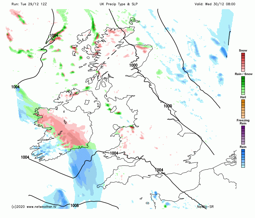
Just to unpack the ECM T96 a bit, here’s the UK view and T850s too.
There’s most of the country with sub -4C uppers and with northerly or northeasterly winds around the NW flank of the low. And the isobars are spaced too so less wind means more evaporative cooling in any precipitation that falls, some areas could get significant snow in just 4 days time.
Fully expect even western areas to do well from that...especially those with height
from myself, have a fab Christmas folks. Let’s hope Santa delivers an upgrade overnight!
-
Even for western coasts is looking....wait for it the right side of marginal, 27th onwards may yield surprises.
Otherwise, model output wise expecting surprises and these may show in more hi-res output soon, but feature maybe small
But I can feel a snow shield going up on the m4 corridor...
oop there it is..
-
4
-
-
2 minutes ago, Mapantz said:
Yep - Extra large rainfall totals for some.
yep - really not needed. But good for the ducks right?
elsewhere, still a nice cool/chilly Christmas being forecast on this run
-
Southern areas may wish to keep an eye on the low that's being modelled on the GFS 12z.....may surprise....
-
2
-
1
-
-
11 minutes ago, feb1991blizzard said:
Imagine that blob of -2024 850hpa temps coming towards us over +ve sea temps, that would generate some serious convective snowfall.
good enough to throw hot water in the air!!
But even then people on here may say the upper air temps aren't cold enough.......
Otherwise, in the short term its nice to see models are converging on key points at the moment, such as retrogression happening, a seasonal feel to Christmas. Where the low drops etc is still very much up for grabs....
We've got a bit of isolation to get over so plenty of time for this to resolve....
-
1
-
-
1 minute ago, Daniel* said:
The ridge is a bit more stiff!
Ooohhh cheeky!!!
just remember folks, calm. Long time to go!
models are still trying to make head or tail with DETAIL.
-
1
-
-
1 minute ago, MattStoke said:
Is this now the no pub run?
the GFS didn't have a substantial meal....
Everything is still all to play for. Given the uncertainty of the situation (lack of a PV) models will flip and flop. I'd take what's seem with a pinch of salt post +108.... for all our sakes
-
2
-


Model discussion - hunt for cold - Christmas countdown
in Forecast Model Discussion
Posted
The amount of scatter STILL at christmas day is quite ground breaking! I'd have thought at least some form of resolution would be seen by now, clearly I was wrong.