
- Popular Post


TEITS
-
Posts
6,664 -
Joined
-
Last visited
-
Days Won
22
Content Type
Forums
Blogs
Gallery
Events
Learn About Weather and Meteorology
Community guides
Posts posted by TEITS
-
-
What makes the heat so unusual is the gusty winds outside combined with temps currently at 39.5C. Feels like being hit by a blowtorch. These temps are the hottest I have ever experienced and unlikely to be reached again in my lifetime.
-
 3
3
-
 1
1
-
-
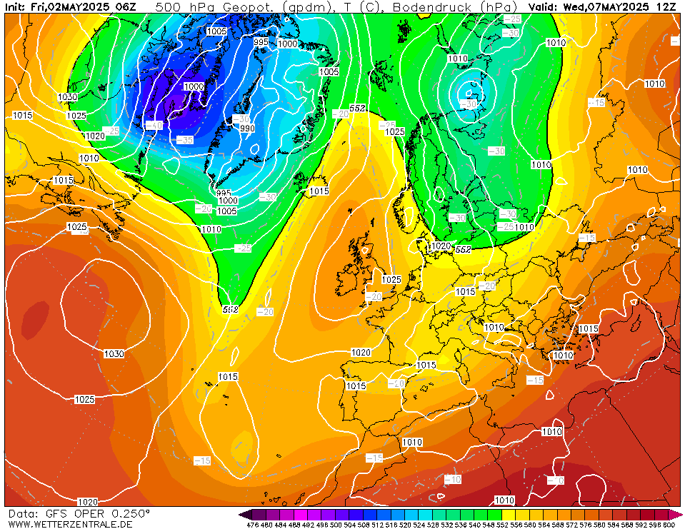
Wow Peterborough really catching up after a slow start. Now 36C at 11am and again this is from the official weather station RAF Wittering.
-
2
-
-
7 minutes ago, Mark Smithy said:
So an alternative to 'will the record be broken?'
is ... when and where will it be first broken?
And when and where will first hit 40C?
!!!
Cambridge, Peterborough, Lincoln, Nottingham by 1pm will reach 40C.
Based on my local knowledge, current rate of temp increase, im going for Peterborough to be todays hotspot.
-
1
-
-
Just gone from 24C at 8am to 34C by 10am!
These are official figures from RAF Wittering.
-
1
-
-
36C in Cambridge.
I do wish my official weather station was closer to Peterborough rather than stuck in the middle of the countryside roughly 20miles NW of Peterborough. At the moment its currently 35C.
Cambs, Notts, Lincs, most likely locations to reach 40-42C tomorrow.
-
- Popular Post
- Popular Post
I am dreading Mon/Tues especially due to the health impacts it will have on my mother. I have been following the potential record breaking temps for nearly 2 weeks now and intially I was rather dismissive of temps 40C or above. However the chances of hitting 40C are looking very possible with the most likely hotspots being Cambs, Lincs.
-
10
-
- Popular Post
Rather odd output this morning and I shall use Aberdeenshire as an example.
On the 18th Jan in Aberdeenshire the UKMO has upper temps around 7C, ECM 4C, GFS -10C!!

What is rather odd is no GEFS ensemble member supports ECM/UKMO with just 2 members at around 4C.
So whilst the ECM/UKMO are the favourite we cannot assume they are right. I have known times for the GFS to be proved correct over the ECM/UKMO when there is such a difference in the output.

-
15
-
1
-
- Popular Post
I love it when we see these changes within the reliable timeframe. This is what makes following the models such great fun. The thrill of the chase is sometimes just as enjoyable as the actual weather itself.
No idea if the 06Z is correct because as I said a few days ago we have seen some poor consistency from all models.
-
25
-
- Popular Post
Just a quickie from me.
Anyone making any prediction right now for the medium range is foolish in my opinion. The differences between the 12Z & 0Z ECM are stark especially when viewing from the N Hemisphere charts. I know some will disagree but when you have such differences in the operationals I tend to pay little attention to the ensembles. I realise I am going against the whole purpose of the ensembles but that is my experience. Posting ensemble means like the GEFS is even more pointless.
So I remain open minded to many possibilities. Many more weeks of winter left yet.
-
34
-
5
-
- Popular Post
13 minutes ago, bluearmy said:the pacific amplification into the Arctic looks to be cut adrift and becomes set on an axis which is unfavourable to bring anything interesting to this side of the NH other than a strong zonal flow of ridge/trough ….
HOWEVER, what is clear from the overnight runs (and those of the past couple days aswell), is that the nwp is very volatile at the moment (I did say it would be). Anyone professing to know what happens over the next couple weeks is ‘winging it’
safest bet will be to say changeable with unsettled periods interspersed with short lived settled spells. Temps around average although potential for some chilly conditions in lee northerlies
but that hides a lot of other possibilities …… just gotta keep watching …….
Spot on BA.
I haven't posted the last couple of days as the output has not only been volatile but to me not plausible. You are right the next few weeks are impossible to predict but I sense something is brewing! This isn't just my stomach after eating loads of sprouts and pickled onions.
Glad to see Tamara is posting on here. I feel very guilty as I was very unkind to her during the past few winters for which I apologise for. Truth is I am very envious of her knowledge about teleconnections and my inability to understand them.
-
41
-
- Popular Post
Morning and Merry Christmas to you all.
Looking at the models I do not have much faith in the output at the moment. When you compare the difference between ECM last night to the 0Z this morning it hardly inspires confidence. Also the GEM goes in a very different direction and finally we have a rogue GEFS ensemble.
Sometimes these extreme rogue ensemble members can be the start of a new trend. Other times they are handy to have a straw to clutch onto. Either way sometimes when I look at the output the outlook looks locked in. This isn't the case for me and I feel this is one of those occasions where a large shift in the output could occur within a relatively sensible timeframe i.e +240 not +384.
Going to be a interesting winter when we have some variables suggesting blocking might be more frequent compared to the norm. This going against climate change which is no doubt affecting the pressure patterns, especially winter.
-
37
-
46 minutes ago, claret047 said:
.
What I also like this year is the abundance of berries and rose hips. There is the question as to whether nature knows better than us and is preparing for a harsh winter, or the current abundance merely reflects the conditions that have gone before.
Only time will tell, but for one I certainly enjoy the ride, with if you will excuse the pun highs and lows aplenty.
Kind Regards
Dave
Massive amount of berries here. Normally I would say this reflects conditions before but I have found this year to be a very poor season for my bedding plants, shrubs, tomato plants. Lack of warmth, long periods of dry weather, lack of sunshine. Only thing that grew well this year was my petunia plants and some of my dahlia.
-
4
-
-
1 hour ago, mamamia2005 said:
Good grief! Excuse me for having a different opinion. Wouldn't life be boring if we were all the same
I personally think it adds a nice balance to the discussion when so many desire a cold winter. Besides perfectly entitled to having your own weather preference.
Even someone like me is actually hoping for a mild winter this year. The very last thing this country needs is a prolonged, widespread freezing winter. Sods law it will be another 1962/3!
-
3
-
-
I flew into Ida last night and it was impressive to look at even before intensifying. Going to try my luck in the Cessna later on Microsoft flight sim which uses real time weather data.
-
1
-
-
Yes recently moved into the fens.
Bloody horrible thing it was. Also have many false widow spiders here. Thanks for your reply.
-
1
-
-
Just found this in our garden in an old plastic bucket. Must of been at least 5cm in length and I have never seen one of these before.
-
Yet again tornadoes were reported in Peterborough yesterday.
‘Tornadoes’ spotted over Peterborough as city braced for thunderstorms | Peterborough Telegraph
WWW.PETERBOROUGHTODAY.CO.UK‘Tornadoes’ have been spotted in the skies in Peterborough as the city is set to be hit by thunderstorms.Since 2007 that is now the 4th tornado reported directly over Peterborough.
-
4
-
1
-
-
- Popular Post
- Popular Post
What im about to say my seem odd and isn't supported by any model/ensemble.
As I said a few days ago a sudden change in the output could occur. The period in question begins at +72 to +120 as the modelling doesn't seem right to me. I still think the models could change towards a SE trajectory of the disturbances off the parent low, rather than NE. So instead of bathing in a S,ly, a sudden switch to an E,ly could occur at this very early timeframe.
Could well be wrong but my instincts tell me otherwise.
-
27
-
3
-
- Popular Post
- Popular Post
Whilst I don't want to give false hope but there is an outside chance of a sudden, massive backtrack from the models as early as next Tues.
Whilst an outsider I wouldn't completely dismiss the disruption from the low going SE rather than NE. This could potentially have a massive change in the output, even allowing a bitter E,ly back in.
-
36
-
1
-
- Popular Post
Very encouraging if you wish to see an extension of cold temps in my opinion. The 06Z is going to bring back an E,ly after the SE,ly.
-
36
-
1
-
Just a dusting so far which is disappointing. Still the latest fax charts/Euro 4 are brilliant for my area.
-
2
-
-
As im inbetween E Anglia/Midlands I thought I would post on here.
Solid indications now that a streamer from the wash is going to spread inland across parts of the midlands.
Even if you miss out tonight these streamers will vary in direction over the coming days.
-
6
-
-
Still looking very good for other locations in this region away from the band of snow in the SE. This is especially true for those in the extreme N of this region.
Wash streamer!
Convection should kick off this evening and continue until Wed. The streams will shift N and S throughout this period.
-
4
-
-
If I was living in Kent, Suffolk, Essex etc then I would be going to bed as I wouldn't expect much in the way of snow until tomorrow morning. Personally I am awaiting tomorrow evening when the wash streamer appears!
-
5
-


Model Output Discussion - moving into Winter
in Forecast Model Discussion
Posted
I have no interest in looking for depth of cold, snowfalls at the moment in the current output. What I do know is if you're a fan of cold/snowy spells then you need to appreciate just how special the model output currently is. Some of the model runs have been outrageous and we must remember such blocking is incredibly rare at this time of year. Some of these model runs would be much more likely in early spring than early winter.
I shall just add that the GEFS mean suggests a SLP mean of 1028mb for Iceland right until +384. So with this in mind, do not worry about the details in the short term due to the long term potential.
To win the prize you have to be in the draw and we currently have an abundance of tickets.