


William Grimsley
-
Posts
2,673 -
Joined
-
Last visited
Content Type
Forums
Blogs
Gallery
Events
Learn About Weather and Meteorology
Community guides
Posts posted by William Grimsley
-
-
Don't understand how I'm wrong?! Several thunderstorms have clipped the Kent coast, you can see that on Blitzortung and I acknowledged the fact that a thunderstorm is moving NE towards London! I'm confused?
-
I think everyone has misinterpreted my statement, most of the action has gone through the English Channel not over the land and yes I am watching Blitzortung and can see a thunderstorm moving NE towards London.
-
Not joking, most of the action has gone through the English Channel. Some action has gone through Southern England but not a huge amount, we'll have to see what happens overnight.
Just had a spectacular sunset here with some Altocumulus and Altocumulus Castellanus clouds lit up!
-
Ahh, another Kent clipper, thought that would happen!
-
1 minute ago, Wivenswold said:
I like your youthful exuberance but it's that type of comment that leads to disappointment. There won't "definitely" be thunderstorms over the SE, there's a risk.
The UK is not an ideal location for storms but they do occur from time to time. But every time a risk is forecast we then have days of pointless complaining that people didn't see lightning and that the weather here is disappointing. It's not, it's just UK weather doing what it does.Yes, I know that, but I highly doubt there won't be any thunderstorms tonight over SE England.
-
Massive bank of Altocumulus Castellanus cloud overhead at home! https://i.gyazo.com/7c11cf0993d31d34f9720951f90899f4.png
-
The sky looks quite unstable on my Nest cam live stream now.
")
Has anyone got Altocumulus Castellanus cloud yet?
-
Just imagine if the upper wind was SE - NW tonight, I'd be getting excited.
-
Looks like Dorset eastward is where the chance is now looking at the latest observations, I really hope nothing moves over East Devon, I'll be gutted. LOL.
-
So, they'll definitely be thunderstorms over SE England tonight, but what's the chances of an MCS?
However, it looks like they're starting to head more eastward once again...
-
Anyone got Altocumulus Castellanus cloud yet?
-
Just now, Ed Stone said:
How can you say that, Will - without the models we be all be a'guessin'?
Models are good up until about 1 day before then they're all over the place. LOL.
-
Quite humid here in Cornwall, just been looking at the dew points over the SE! Crazy!
-
All I'm going to say is models are pointless now, just wait and see what happens! Good luck, everyone!
-
Don't worry, Azazel we can all come over as being not what we want to be (especially myself).
Just looked at the latest NMM run, slightly worried if that pulls off both for potentially hitting home and the intensity of the rainfall across SE England.
-
 1
1
-
-
You can agree or disagree, that's your opinion but I certainly think that just because we are an island and that "something" has changed our risk is utter rubbish.
-
2 minutes ago, Ben Sainsbury said:
Because of this "NCS" trip that I've done I was in Torquay from Last Friday to yesterday and bath uni from today till Sunday! Confusing lol!
NCS? I remember that being advertised at school, seemed legit not... Anyway, back on topic...
-
@Nick F, basically good luck to those in the SE, looks frightening!
-
Oh, Azazel, unfortunately I don't agree with your statement, there is no such thing as "We've seen this so many times in recent summers". It doesn't matter what Summer we're in, it's just that recently parameters have not been good enough to sustain MCS development over the UK, nothing to do with the year, it's to do with that. I have good confidence that at least thunderstorms with a certain degree of MCS development will move across Kent this evening, there's already thunderstorms in France so will be quite interesting to see what happens later.
-
5 hours ago, Mesoscale said:
Have you guys forgotten we live in the UK? Somebody asked earlier why people were being so pessimistic and the answer... Look at how many times we get great forecasts like this and they don't verify. My personal forecast (not scientific) is, a large band of rain moves over the SE with occasional lightning but most if not all storms staying in northern France and Belgium. I would love to be wrong but any good activity will not be wide spread as suggested. This is my personal opinion.
I have to agree with W09, here. Where have you got this from? Just looks like some mashed up rubbish to me.
-
1
-
-
10 hours ago, Ben Sainsbury said:
Even if this is the case, hopefully we could see some very interesting structures, we shall see tho! I'm in Bath so the further east the better!
I thought you were in Torquay?
-
Any more westward shift on this and we could see something towards SW areas but not this far west!
-
1
-
-
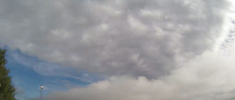
Unstable looking skies here in Cornwall, good luck SE!
-
11 hours ago, William Grimsley said:
Don't want anything convective this week as I'm in St Ives till Saturday!
* Carbis Bay

Convective Storm/Discussion thread - 11/06/16 onwards
in Storms & Severe Weather
Posted
Alright, calm down! Let's enjoy this stream! http://www.beaming.biz/company/hastings-pier-webcam