


The Weather Dragon
-
Posts
289 -
Joined
Content Type
Forums
Blogs
Gallery
Events
Learn About Weather and Meteorology
Community guides
Posts posted by The Weather Dragon
-
-
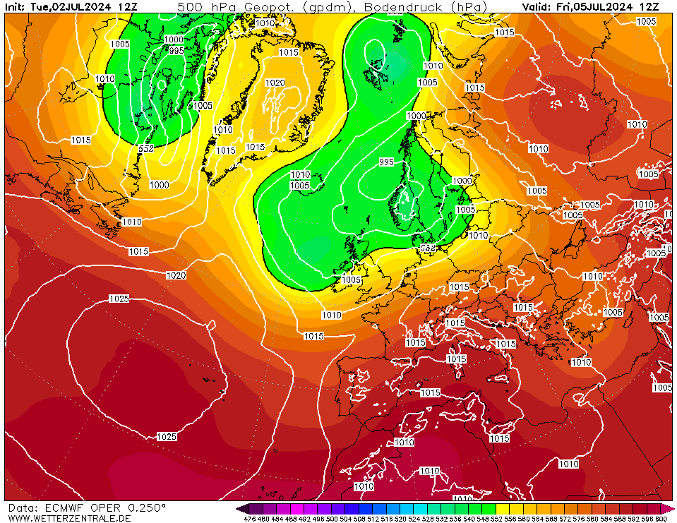
Some tasty looking charts to view in FI -need to get these into T120z - then we can really enjoy them
-
17 minutes ago, D.V.R said:
Good trends again from the 12z.. The GEM also looks good.

Split PV trend
-
 1
1
-
-
1 minute ago, snowray said:
Its trying to get there, but all the deep cold back down towards Greece again on this run.
I think your clutching at straws there tbh - way off the mark - we need to see what mid/late feb brings
-
16 minutes ago, johnholmes said:
Why not simply say what it is?
It's a phrase to describe a more localised spell of zonality - with full zonal conditions never quite developing.
-
I'm not going to mention it ..there is however a smell of change in the air - looking at tonight's output - ECM next
-
Fascinating 12z GFS in the short term imoh
-
2 hours ago, johnholmes said:
Is this a phrase that has any official meaning or just another one from the web?
Never heard of it myself so just wondering where it originated.
thanks for any reply
It's a web phrase i'm afraid - that said all phrases have to begin life somewhere ! (a la - murr sausage)
-
It's a phrase to describe a more localised spell of zonality - with full zonal conditions never quite developing - pressure is strong over europe - maybe stronger than models can determine - we need this pattern to break and for lows to dive into europe - increasing the chances of pressure rises following on behind.
-
1
-
-
06z GFS continues with the concept of loco-zonal with troughing unable to make inroads into europe. We are thus left in a quasi atlantic airmass. We need troughing to dive into west/west central europe and then we are very much game on. With loco-zonal please expect short term suprises. No double digits today - delays inevitable. Enjoy !
-
3
-
-
Current cross model argreement - trending to something called loco-zonal - has anyone heard of this phrase to describe the current and projected synoptical situation - loco-zonal
-
Just now, chris55 said:
Can the surface ridge to the north on the ECM at 72/96 gain some traction and deflect the Atlantic south? Probably not, most likely not, but this "tussle" between the the Atlantic vs the Euro block is certainly a continuing saga. By 144 we still don't have a convincing zonal flow.
72
96
144
At this point it simply leaves the UK in a pretty dull scenario with the Atlantic lows stalling and bringing us a wet and windy southerly. But if we were to see some kind of an underut then the pattern would evolve quickly into something more favourable for colder conditions potentially following on.
As previously mentioned this is loco-zonal and not where we want to be.
-
GFS 12z continues to take us loco-zonal next week with the lows never really making into continental europe - thanks to the blocking high - not great for us tbh
-
1
-
-
Where are the doom mongerers tonight I wonder ? - the weather will do as it pleases - not as models or background signals dictate - this is mother nature after all !
-
Absolutely pointless commenting on specifics - especially on an ECM 240 - better to pick up on more general trends
-
Just now, Long haul to mild said:
I suppose it is stellar in that people will be able to see the stars through the gaping holes in the roof!
Thankfully it is at T240 and almost certainly won't come off like this; hopefully not anyway. It's usually the GFS that blows up LPs like this.
hopefully the trend of a very southerly tracking jet stream will continue - a pattern change that may allow higher latitude blocking
-
2
-
-
Stellar ECM 240z
-
14 minutes ago, terrier said:
Well not a single comment on the ukmo or gfs12z tonight. Think that sums it up really.
It's called model fatigue - i'm suffering as well
-
2 minutes ago, abbie123 said:
Game for what we all new that we where going to get some unsettled Weather later part of January it's been very cold here in the south east of England for 2 weeks with hard frosts and my snow man is still in the garden I'm looking at February for the next cold shot.
mentioning 'game over' 100% post removal guaranteed. I meant game over for any undercut or retrogression of current block. Let's see where we end up after this unsettled spell. I can see another euro high tbh
-
3
-
-
In all my 17 or so years of winter model watching this has to be up there with the most benign/boring/tedious ever - sick of it now tbh - roll on spring/summer - rant over !
-
2
-
-
Well the models produce proper cold today 2C max - feels like winter - much better than the last transient northerly attempt
-
6
-
-
1 hour ago, seaside 60 said:
Yes and the UKMO and Exeter were forecasting drizzle cloudy and warmer for down here on mon and tues, for thursday and friday, so why hold out on their forecast.
Spot on pal - the met do give the caveat of low probability cold and snow in their extended so as always there is a 'get out clause'
-
1
-
-
Listen folks - the models were suggesting a return to atlantic w/sw weather early next week - with some runs having deep lows centred over the UK - it ain't gonna happen - what the chance that they haven't got a firm handle on later next week - must be a fair probability. The downside is we are eating up precious wintertime with benign weather - although on the positive side at least it's dry !
-
1
-
-
Only a few days ago models were predicting the atlantics return with SW wind and rain for my location (W Wales) by next Tuesday 24th - this has now been delayed until at least next Friday 27th and even then it is a slow and painful process - look at atlantic Jet almost vertical north to south !!
-
2
-
-
ECM 00z progression from 168-192 looks flawed - reasonable cross model agreement at 144 - UKMO good at 144
-
4
-


Model output discussion 25th Jan - The final third of winter beckons..
in Forecast Model Discussion
Posted
come on guys lets get realistic - tone down the ramping - have we not learned anything - especially this winter