


WalsallWeather123
-
Posts
356 -
Joined
-
Last visited
Content Type
Forums
Blogs
Gallery
Events
Learn About Weather and Meteorology
Community guides
Posts posted by WalsallWeather123
-
-
Midlands getting a dumping on icon

-
 1
1
-
-
Will the -4 to -6 uppers give snow to low levels on 216-240 hours that the ECM shows?
-
If the models prove to be correct, Scotland and the North of England (particularly the North West) will do well for snow over the next 2-3 weeks. The South of England will have to wait until February in my opinion if heights into Greenland/Iceland come to fruition.
-
1
-
-
A stonking chart from JMA T192. Snow showers piling in. Scotland and NW England would certainly do well from that.
-
3
-
-
Don't think many would say no to this. Countrywide snow from PM flow. Plausible outcome I would say
-
1
-
-
ARPEGE still looking good for snow
-
All the Hi Res charts indicate a snow event across large parts of the midlands tomorrow. Whereas the longer range models (including ICON) show only rain. I know whos money mine is on.
-
 1
1
-
-
Huge change on ICON in only 6 hours. Thursday will be a nowcasting event. Not one model has a grip on it
-
5
-
-
Strong PV in FI on the GFS. Not great for long term cold.
-
1
-
1
-
-
Big improvement from JMA in terms of cold potential. Yes by no means perfect but the low undercuts and there's an attempt at building heights towards Greenland as opposed to yesterdays run which bought mild southerlies. Fine margins but big differences possible
-
2
-
-
GFS Parallel also an improvement for cold at T120. The low in the Atlantic more elongated making it more likely to go under and allow cold air to be tapped into like the GFS Op
-
3
-
-
We are into the range of the short range models and I found this chart interesting from the WRF-NMM. Shows a widespread snow risk on Wednesday morning. The models could well be underestimating the depth of cold coming up. A few weeks ago we had snow in the midlands from the brief northerly which wasn't forecast by any model so a few surprises could be in store.
-
5
-
-
Early thoughts on the GFS 18z. That area of LP south of the UK is further west, ideally you'd want it further east for better blocking and cold
-
Not seen it posted yet. But NAVGEM looks similar to ECM with the rebuilding of heights towards greenland enabling us to tap into he cold pool in the NE around day 9/10
-
ECM heading the same way. Sticking to its guns
-
Just catching up on the models. Certainly didn't expect snow forecast especially so far north into the Midlands
-
1
-
-
Will be interesting to see the EC mean but the OP is sticking to its guns big time
-
1
-
-
Poor ECM for long term cold. Look at that trough at T120- too far west and north. Other models look to be coming towards this aswell
-
1
-
2
-
-
1 minute ago, booferking said:
High cut of round the back also that trough is further south less chance of blown up over uk and sinking the high.
You still want the trough more to the east to avoid an ECM style scenario. But a step in the right direction for cold
-
5
-
-
As I've said on numerous occasions, the Atlantic will have a part to play in our weather. As shown above. Yes I know it may/may not happen, but again I wasn't trying to provoke anyone, the ECM clearly show still the possibility of an Atlantic influence. I was shot down before by some people
-
3
-
-
Just now, Daniel Smith said:
Mate, just give it up.
It's not even close to the ECM, look whats coming down through Scandinavia. Your posts are growing as tiresome as Brexit now.
I said a shift towards. Big difference between being the same mate. Read the post. Anyway, I'll stop posting as clearly a few people are bothered.
-
2
-
7
-
-
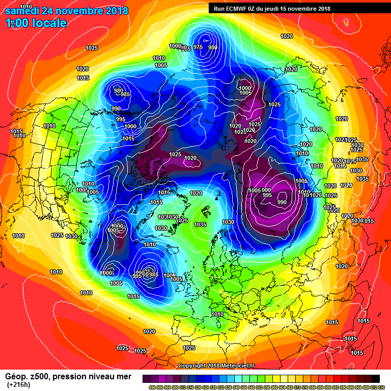
Huge shift from GFS to ECM (GFS 6z on right). I hope people finally realise I'm not trolling. I try and give a realistic view.
-
5
-
1
-
-
Just now, Yarmy said:
That would be one spin on it. Another would be to note that both charts show a colossal tropospheric vortex split right across the pole. It's just variations on a theme. If anyone used the 6z as their benchmark, then only disappointment will follow.
Absolutely. 6z was perfect was deep cold. But I said the GFS will move towards the ECM and it has, Everyone else was saying that the ECM op was an outlier and will join forces
-
1
-
-
Heading closer to a sceuro high is the GFS compared to 6z
-
2
-


Model output discussion - 7th January onwards
in Forecast Model Discussion
Posted
Synoptics look great. But only -3/-4 uppers. Will that give snow to low levels?