


swilliam
-
Posts
498 -
Joined
-
Last visited
Content Type
Forums
Blogs
Gallery
Events
Learn About Weather and Meteorology
Community guides
Posts posted by swilliam
-
-
- Popular Post
quite a nice snow event for our friends in the SE as well

-
 14
14
-
1 minute ago, MJB said:
oh dear - the 120 is VERY different to GFS at 120
It is nearly always an exact replica of the UKMO 120 chart - looks like it to
-
4
-
-
26 minutes ago, TSNWK said:
Agreed.. I’m constantly surprised with ECM not helped by the 24 jumps I guess..
I mean 192 could boom age if the low over us goes south east or darn right grim if the lows to our south west merge.
simply no idea
You should try the Metdesk site then - it comes out in 3 hour steps
-
1
-
-
moving it east and north instead
-
should be better this - does not develop the new low NW Scotland
12z
0z
0z
12z
-
2 minutes ago, feb1991blizzard said:
This would be a real kick in the teeth, now where have i seen that chart before?? get this incredible feeling of deja vu, its called marginal slushfest 20-21 deja vu.
Looks a bit like that it must be said
-
4
-
-
14 minutes ago, Snowman. said:
Jan 2013. The above saw a red warning in wales for heavy snow and blizzard like conditions. While it does infuse the jet it doesnt put a complete end to a UK cold spell, was also off the back of a split SSW.
Yes similar situation here - turbocharged jet heading straight for Africa
-
1
-
-
Looks like met have gone with their own model on fax as usual.
-
4 minutes ago, s4lancia said:
Anybody just joining from the 12Zs will look at the post count think there has been an amazing pub run!
Head is off the keyboard now
Lightened the place up a bit anyway
Sorry guys and gals.
-
5
-
-
1 minute ago, bobbydog said:
If you carry on posting like this, it'll only be 2 days away...
err sorry
-
3
-
-
5 minutes ago, Bristle boy said:
Surely that means thst the Strat forecasts (and charts) of last couple of weeks are/were .....erm......wrong!?
This is a forecast nearly 15 days away
-
Pretty good split on the GEFS mean against the operational anyway.
-
1
-
-
7 minutes ago, feb1991blizzard said:
Underwhelming ending to the day with a flat GEFS.
Flat?
This is the mean at 348.
-
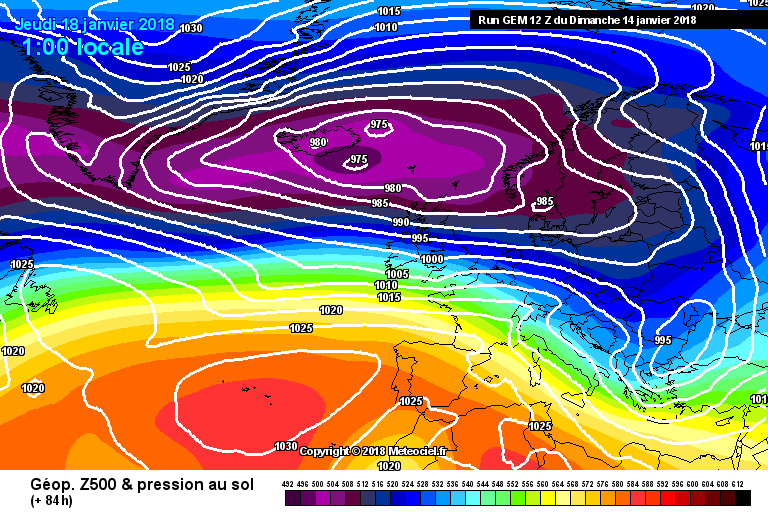
Looks similar to UKMO at 144 with merging of the two lows. I guess we will get an idea of what will happen in this scenario.
Compared to GFS
-
1
-
-
Updated t24 fax is very different to the earlier t36. It has the low much deeper and further S with more energy going E through France
t36 (12Z)
t24 (18Z)
-
3
-
-
Just now, January Snowstorm said:
The gfs has been really good lately.
It was the first model to pick up the runner low as and also the first to pick up the cold spell not lasting....
As I just said GEM was first - not that it matters anyway really - the one model is better than another model is a rather wearisome discussion
-
2
-
-
23 minutes ago, I remember Atlantic 252 said:
GEM rubbish model, but makes very little of the shortwave, doubt it's correct
GEM showed this change to no Northerly and Atlantic coming through yesterday with the same kind of comments (about it being rubbish) - in this case the model picked this change out first if it happens like is shown at present.
-
 1
1
-
-
3 minutes ago, Daniel* said:
V decent snow event for S it looks not seen snow depth charts...
It is a rain event unfortunately -can't seem to post the image
-
57 minutes ago, feb1991blizzard said:
TBH I couldn't see that type of result occurring from that setup, plus theres really no room for manoeuvre there - if that high is even a tiny bit more NE then its not happening.
Yes - but this is where we started with the previous one and then it kept adjusting S and ended up in the Midlands - this could do the same or not - we will see. It is something of interest at any rate.
-
1
-
-
Could be slidergate 2 developing - this has shown up for a few runs now.
-
2
-
-
3 minutes ago, Dennis said:
an ridge (High pressure) is maybe setup near NE of the USA - that is usefull for cold air in NW Europe - we need to wait
If that model was to be believed we would all be having a white Christmas. Fortunately NASA has been shown to be not very good at predicting climate so weather should be the same.
-
1 minute ago, booferking said:
Vortex sheared in half again late in FI.
looks very nice - pity the one half is shoved over us.
-
11 minutes ago, feb1991blizzard said:
Most striking point of note on the extended EPS is the re-emergence of the Euro -ve anomaly - expect a better London graph later.
Control goes off on one - big spread at end
-
1
-
-
4 minutes ago, blizzard81 said:
Cmon fax charts, please update lol
Looks like they have gone with their model as they usually do.


Model output discussion - is the beast awakening?
in Forecast Model Discussion
Posted
snow depths to go with that. Should be more representative now as no marginality