


Yorkshirepudding
-
Posts
333 -
Joined
-
Last visited
Content Type
Forums
Blogs
Gallery
Events
Learn About Weather and Meteorology
Community guides
Posts posted by Yorkshirepudding
-
-
7 minutes ago, Scott Ingham said:
Some models predicting snow at 5pm today as surprised me but i suspect its just the models showing snow over 200/300 as opposed to no snow at all for these times
It’s a really tricky scenario as to who will and who won’t, what elevation, how far south how far west will any potential be. What time the potential snow will start and for where. It’s so marginal but with a load of other factors thrown in. I wouldn’t want to be putting my name on a televised weather forecast for this one. Think I’ll be a fly on the wall and watch the radar. Lol
-
Might be worth noting that there could be a few surprises for some today.
-
8 minutes ago, bazookabob said:
Yeah sorry I meant bank as in "I'd like to bank that one"!
Me too pal
-
 1
1
-
-
3 minutes ago, bazookabob said:
BANK!
I’m not to sure it’s a BANK as yet although I want it to be, however worth keeping an eye on it as it’s very marginal but we could end up been on the right side of it, but let’s see
-
ARPEGE 12z gives 25-30cm for most of West Yorkshire the System that moves across Wednesday & Thursday, Fridays accumulations look interesting..
Also looks very interesting for all our region away from the coasts.

-
2
-
-
3 minutes ago, Tim A said:
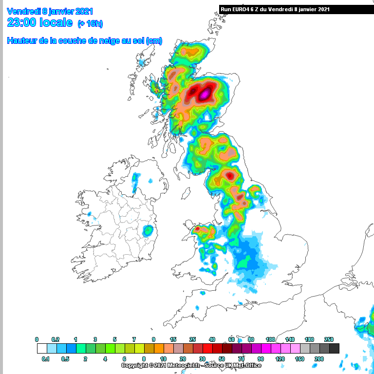
Euro4 suggests 25cm plus for west of Harrogate in the sweet spot. That looks good for here too but perfectly maps the gradient across Leeds
That looks more like it
-
2 minutes ago, adrianh said:
According to the Met Office, I've been under heavy snow for the last 4 hours whereas the radar reveals no precipitation at all and none within 20 miles or so. It's virtually useless in these marginal situations.
Totally agree, the met office has my location as sleet we’ve had snow for the past hour getting slowly heavier. Lol. The system is moving south but extremely slowly I think a lot slower than predicted for the benefit of my location hope more southern parts of our region gets in on the act soon
-
The met office has been so behind with this as far as it’s app goes I know apps aren’t really reliable but you’d expect them to catch up on the nowcasting, snowing medium to heavy in my location and expected to get heavier in the next hour or so and with the slow process of the uppers and dew points lowering could get interesting for the next few hours, daughters school emailed to say online classes cancelled to let the kids play out in the snow because it’s important what has Covid done to our country .. Beautiful scenes out there but drive safe everyone
-
Looking forward to Thursday morning it’s looking like my location could receive a good period of snow maybe an inch or so before slightly warmer air cuts through maybe turning to rain/drizzle on back edge be nice to see some snow in daylight hours for the kids to enjoy
-
32 minutes ago, Scott Ingham said:
Its incredibly excited.
I dont think people fully grasp what we are staring down.
We are looking at another 63 or 47 if things unravel!
I wouldn’t dare say those dates buddy lol, but definitely exciting and your correct
-
1
-
-
17 minutes ago, Scott Ingham said:
Thank you buddy its the first year being brave enough to test my thinking publicly post.
I got last year correct but i didnt want to be but the potential here is astronomical if it goes as planned (although we kmow with the weather it tends not to!) But so far so good were reading the script
We all know it’s a hard script to read buddy and you haven’t been wrong so far, some people forget this is early in the winter and that we need to get the cold in place first then the snow will follow models are on side for this moving into January so some exciting times a head for sure reading and watching
-
1
-
-
26 minutes ago, Scott Ingham said:
Tomorrow night on the arome with the full wrap around.
Im confident on this scenario watch the runs tonight.
10pm tomorrow night onwards.
The poster who was taking the pee out of me this morning for trying to explain why it will be a top 10 winter.
I hope these runs have opened her eyes to the logic and thinking behind it now!
I’ve been with you all the way pal, I don’t post a lot and I don’t have the knowledge as you and some of the others but I posted here in the first week of December my thoughts that this winter has the potential of something special, I always enjoy reading your posts so keep up the good work buddy.. On another note my location currently has a CM of lying snow and still falling great to see over the Christmas Period which is rare so for more to come.
-
1
-
-
Snowing near Skipton, still a little wet but with a little more precipitation we’ll see it settling .. Great to see at this time of year hopefully more to come as we move through December into next year .
-
1 hour ago, The PIT said:
Just had a look at the cat and fiddle web cam looks rather wet there. Rainfall to light to cool the atmosphere.
Notice the local forecast has sleet for us later on today and snow tomorrow but I think that's unlikely.
I agree, Best chance with elevation like Head pass and fleet Moss in North Yorkshire this morning very white conditions so elevation and timing will be no doubt where we may see the elusive White stuff. It was always marginal but it’s a start lots to like on the runs leading to Xmas..
-
Wow what a beautiful winter’s morning I woke up to this morning with a lovely ground frost and blue sky’s and with the last two years of disappointments finally this winter is coming with a lot potential it’s quite exciting. Winter has only just got going and already we have marginal snow forecast for our region later this week, models are going for snow with elevation at the moment but not exclusively we need to keep a close eye on the exact track of the Low to give us a better idea. Looking at the models going further into December it looks really promising for cold and snow lovers and it’s my feeling we could be in for a memorable winter a head dare I say .
-
1
-
-
@reef you seeing some of the white stuff also?? Be good to get your location back in the game after a fail last year..
-
Got to admit I wasn’t expecting as much as I got in my location overnight and still snowing with a line of showers still incoming... Nice little surprise.
-
1
-
-
9 minutes ago, Northern Sky said:
Looks rubbish on the latest Met video, doesn't reach Yorkshire.
It does however state that they don’t know the exact track yet and how far north it gets. And then there’s the wrap around later with the change of wind direction which could offer a kind of stall over our region for prolonged periods of snow.. If It is to reach our Regions hopefully the south west and Midlands don’t take to much intensity out of it..
-
4 minutes ago, Northern Sky said:
What's the chance of any showers pushing in later? Look North showed a few but I remain doubtful they always seem to fizzle out before they get to north Leeds.
Not sure what to think of Thursday yet over on the model thread the consensus seems to be on the front only reaching the midlands - although perhaps if it pivots we will get something later?
It will be down to now casting, But I wouldn’t be to optimistic of them reaching the east of the Pennines. I think only the far west of our Region will really benefit from them and still not everyone will see them even in those areas. The main threat will be Ice it’s very wet out there and with the temps dropping sharply below freezing after sunset it could get very dangerous indeed.
And yes Thursdays event needs to track further north than some models suggest but I’m hopeful.. However I’ve seen it so many times when these southward trends get hold we end up with a none event as it scuttles through just to our south as the midlands gets buried..lol.
-
1
-
-
Been Snowing in my location for around 2hours now intensity has altered throughout this period from light to Heavy and back again. So far nothing has really settled even with my elevation a little on cars and grass but that’s about it to marginal for any real disruption.. Still nice to see it falling from the sky.
Expecting a freeze as the sun goes down which could be quite disruptive and any snow showers following the front coming into the west could settle quite rapidly and add to the danger. Now we chase the Thursday/Fridays low which I still believe is where our best chance of lying snow is.
-
1
-
-
Look north have showers for West Yorkshire and Western parts of North Yorkshire some this evening and overnight giving a dusting Followed by a more persistent band of snow reaching the more western parts by around Noon giving around 4-5 hours of snow as it moves west to east how heavy and how much will be down to the day and higher routes will always do better when it comes to depth. Still lots of change possible as the low hasn’t developed yet so the exact track still isn’t nailed but the current run shows our entire region could see at least a few CMs almost anywhere. Looking forward to this evening for a bit of lamppost and radar watching as the showers roll in and look forward to tomorrow afternoon if it stays the course as we will have daylight snow.
Enjoy the ride everyone but most importantly stay safe on the roads
-
1
-
-
The BBC weather forecast still promising for the South East later on around the evening Rush hour a few CMs almost anywhere.. Exact Track still not nailed. Lots of change is still very possible as the low develops out in the Atlantic.
-
4
-
 2
2
-
-
3 hours ago, Harsh Climate said:
Yes lee and downgrades for the south and south east
Where nearly there! Again for me south yorkshire and parts of west yorkshire currently sweet spot for our region thursday. Nationally probably peak district in sweet spot.
Haven’t had time to look at the models yet is the low showing a slightly more northern track Hence the downgrade for the south? Or is it the angle?
-
13 hours ago, ChezWeather said:
Plenty of talk about a channel low, are we likely to benefit at all from this?
Very Likely it’s all about the track it takes, Too far south (South France for example) may only bring the tips of the south into the mix if at all, Too far north the question will be does it pull down the cold enough uppers so could be to marginal and only offer accumulations on higher routes and the southerners will be throwing the toys out, But if it tracks the channel as shown on many runs even a few miles north or south put our region well into the mix for seeing snow for Tuesday into Wednesday how much will be down to the day and the exact track then I think it will be followed by snow showers for some then the potential of another low coming through on Thursday which in my opinion could be the more significant event that us coldies are hoping for especially if we already have some lying snow from the previous 36 hours. Exciting times to be watching models hoping and praying that everything falls into line but we all know the smallest changes in the atmosphere can have big impacts down here..
-
1
-
2
-


Yorkshire and E England regional discussion
in Yorkshire & E.England Weather Discussion
Posted
I know it’s an app forecast so obviously subject to differ but its really starting to look very interesting for my location tonight and definitely tomorrow literally just changed..