


mushymanrob
-
Posts
8,995 -
Joined
-
Last visited
-
Days Won
18
Content Type
Forums
Blogs
Gallery
Events
Learn About Weather and Meteorology
Community guides
Posts posted by mushymanrob
-
-
id suggest that 1c either side of the actual average temperature for anywhere is within the average range... average isnt an exact figure... or if you want to be pedantic "around average"..
-
 7
7
-
-
- Popular Post
1 hour ago, WinterOf47 said:How have they performed so far this summer?
very well, in various ways, the ecm anomalies not so clever but very reliable.35 minutes ago, SunnyG said:Not well.
rubbish
-
12
-
- Popular Post
9 minutes ago, ANYWEATHER said:Only 10 to 12 days away , what possibly could go wrong

probably nothing

it would mighty unusual if all these suites were far off the mark...-
17
-
 4
4
-
On 04/08/2023 at 13:31, mushymanrob said:
This is interesting, we could be heading for a plume possibility just after mid month, as these current charts are in broad agreement
oh, and here we go, it just goest to show how good these charts can be...
-
4
-
1
-
-
2 hours ago, Sprites said:
A report of NLCs from Norfolk this morning.
Several reports of Aurora last night too, but didn't pick it up.
Saw a bright orange meteor at 01.20 this morning near the plough heading SW. Most likely an early Persied.
Not sure about this morning tbh, if its Simons its very dubious... you have to look so hard to try to see anything..
-
2
-
-
1 hour ago, RainAllNight said:
Let's see if I can understand these... this is showing a good chance of heights building over the continent from the 14th August, right?
1 hour ago, CoventryWeather said:Shows heights around Europe and nearer to the UK. That's a positive update in my opinion. Although still some troughs I assume by the patches of orange, like the 21st?
Maybe the second half of this month could provide something more summery?
They are new to me too and am obviously still learning how to interpret them properly.. they are an upgrade because from the 15th, that chart has no low pressure near us... CW is right, its a possitive upgrade.. BUT .... id like to see that upgrade on a few more runs yet...
-
6
-
-
Well i dont agree that August is going to follow Julys pattern...
The NOAA chart from one month ago clearly shows an unsettled regime with air sourced from the far North, hitting the warm Atlantic, causing cyclogenesis .
The latest NOAA chart suggests a large block to our North, so no PM air sweeping into the Atlantic , and the 500mb height contours originate well West of the UK, not North.
To me this suggests at least average unsettled if not warm unsettled, but with heighter pressure over the UK than July, it shouldnt be as wet?
Original post: https://community.netweather.tv/topic/99056-model-output-discussion-mid-summer-onwards/?do=findComment&comment=4901456-
1
-
-
- Popular Post
Well i dont agree that August is going to follow Julys pattern...
The NOAA chart from one month ago clearly shows an unsettled regime with air sourced from the far North, hitting the warm Atlantic, causing cyclogenesis .
The latest NOAA chart suggests a large block to our North, so no PM air sweeping into the Atlantic , and the 500mb height contours originate well West of the UK, not North.
To me this suggests at least average unsettled if not warm unsettled, but with heighter pressure over the UK than July, it shouldnt be as wet?-
4
-
 9
9
-
To illustrate a little for those who need a little help...
Note on this chart the blue area just to the left of the meridian from the 17th to the 20th?
Well heres the latest EPS for the 19th... it supports the hovmoller chart, so by getting a good idea on what the upper air pattern is likely to be in 14 days time, we get a better idea of which operational runs are likely to be closest, if any.. from that we can deduce the most likely details..
Original post: https://community.netweather.tv/topic/99056-model-output-discussion-mid-summer-onwards/?do=findComment&comment=4900590-
1
-
-
-
1 hour ago, Vortex3929 said:
OK thanks. So EPS troughs are white/blue and the orange reddish colours = ridging or?
Is there also a link to understand the EPS better ? (Saves bombarding you with q's)
The general rule of thumb is ridging is orange/red.. troughing is blue, white is neutral.
Nope, not the EPS but i think @johnholmes has done one in the learning zone for the noaa charts which follow the same principal... youll have to look that one up yourself! lol.-
1
-
1
-
-
1 hour ago, Vortex3929 said:
Thanks for explaining about the 1st chart and how to understand it. As another posted said, it does really look like playschool crayon fun time but you've helped
 can I just clarify though...the blue area you state would suggest low pressure to the west of Meridian meaning LP to our west - correct? And if I have understood and read that correctly.. how does the 2nd chart show LP? And is that this hovmoller (??) Chart I see many discussing or the EPS
the eps (second chart) is for the 19th, it shows some troughing to our west and some ridging to our east, as per the hovmoller charts for the 19th..
at that range they are only weak signals, they can disappear or grow, they usually grow/become more defined.-
1
-
-
To illustrate a little for those who need a little help...
Note on this chart the blue area just to the left of the meridian from the 17th to the 20th?
Well heres the latest EPS for the 19th... it supports the hovmoller chart, so by getting a good idea on what the upper air pattern is likely to be in 14 days time, we get a better idea of which operational runs are likely to be closest, if any.. from that we can deduce the most likely details..
-
3
-
3
-
-
40 minutes ago, CoventryWeather said:
Could you give a brief explanation on how to read these charts please? Looks like someone has just scribbled a load of lines and called it a weather chart!!
red = high, blue = low... the dotted line down the middle is the greenwich meridian, its a longitude chart that lines up with the smaller map below.
use the dates on the left, work across to the meridian... most of the uk is just to the left of the meridian (west).-
2
-
2
-
2
-
-
Im finding these charts are pretty good. A new edition (i believe - or was i just blind? lol) but in the last couple of months or so they appear to be good at picking up on the general pattern , as usual - when consistent.
This current chart suggests generally high to be dominant 9th - 12th, then it eases with the high East of the UK, low pressure to our West becomes dominant 17th - 20th, before a more neutral average spell.. possibly high domination by the 24th...
Itll be interesting to see if this pattern is accurate or not, but so far im impressed as it helps us "see" further ahead than my favoured NOAA charts, and when used in conjunction with the EPS all 3 suites are pretty good, even out to 3 weeks...
Time will tell
-
8
-
1
-
-
Just now, CoventryWeather said:
A tad further south and west and I'll be happy
 anyways much better forecasts than that of July.
yes, its looking warm and unsettled as opposed to cool and wet.. could be good for thundery activity... but i cant see clear blue skies, settled sunny heat out of this.
-
4
-
-
This is interesting, we could be heading for a plume possibility just after mid month, as these current charts are in broad agreement
-
8
-
1
-
-
1 hour ago, Arnie Pie said:
Was there any reports on social media this morning, for displays seen from the UK?

Plenty seen on Icelandic webcams
ive not seen any, not looked though tbh but they normaly find me.
-
1
-
-
2 hours ago, Addicks Fan 1981 said:
According to this it does look like we will have WWB activity which should enhance better weather and I have seen a potential standing wave on the cards.
Time-longitudes diagram - Extended range forecast
CHARTS-TEST.ECMWF.INTThis diagram is a time/longitude diagram (Hovmöller diagram) of the 500 hPa or 1000 hPa height mean anomaly (contours) and spread (shading) of the ECMWF extended range ensemble...Am with @mushymanroband trust these hovmoller charts more than i do with the ones I see on the site owned by Mike ventrice.
I wouldnt say "trust", id say "treat with caution", but they do appear to be quite accurate..
-
2
-
-
as far as im concerned, its over... a very frustrating/disappointing season... over the next couple of weeks we will be treated to displays over the far north/scandinavia on the forums... but i blinked and this season has passed... all too quickly..
-
3
-
-
12 hours ago, RainAllNight said:
Tonight's EC46 anomalies for the week beginning Monday 14th, after our anticipated upper ridge event, do seem to suggest the high might have buggered off to the northeast?
Edit: Just realised those are unlabelled... from left to right they are 500mb height, mean sea level pressure, precipitation, and 2m temperature (all 7-day anomalies)
I wouldnt pay much heed to those unless/until they become consistent.
@Addicks Fan 1981 ... i can add nothing to what @johnholmes has just posted...-
1
-
-
1 hour ago, JayAlmeida said:
The GFS 00z and 06z has backed down to a 2/3 day wonder and the ECM is the worst out of the models. We are 8/9 days away from the start of the change so plenty of time for firming up on the exact detail.
Other posters like @johnholmes and @mushymanrob not convinced in their analyses yet so all to be resolved.
Surely things have to improve at some point. Its just the level of improvement we need to figure out.
Whilst the GEM is just doing what is usually does in this scenario
I wouldnt rule out a brief plume, but theres nothing to suggest from any source that we are going to get a lengthy heatwave. The 500mb height contours on the NOAA and EPS suggest mobility, and dont support a large high over us, they are too close together and too "flat". But i do expect it to be driER and warmER ....
-
3
-
-
2 hours ago, johnholmes said:
Looking at the latest 500 mb anomaly charts and also the ECMWF output for 7-11 August
A new set of 3 from this evening, Monday 31 st July
Nothing on the 6-10 to suggest that our weather is set to improve to any degree. Trough-ridge down the western coast of n America (the reverse of what it showed a week or so ago), part of the trough in its usual place with the contour flow south of it towards the UK and nw Europe and into that trough. Some easing of the flow but nothing to suggest to me any real changes in 6-10 days. The 8-14 continues with a simila pattern to the 6-10, less marked as it often is. Again nothing to me suggests any marked changes in the 8-14 period.
Climate Prediction Center - 6-10 Day 500mb Outlook
WWW.CPC.NCEP.NOAA.GOVLooking at the EC output for 7-14 of August it keeps an upper trough nw of the UK. It does show a surface ridge over the se in its last 2 days and also allows the +10 isotherm at 850 mb to move north over the UK. So this does give some hope of an improvement after about the 7 or 8th of August?
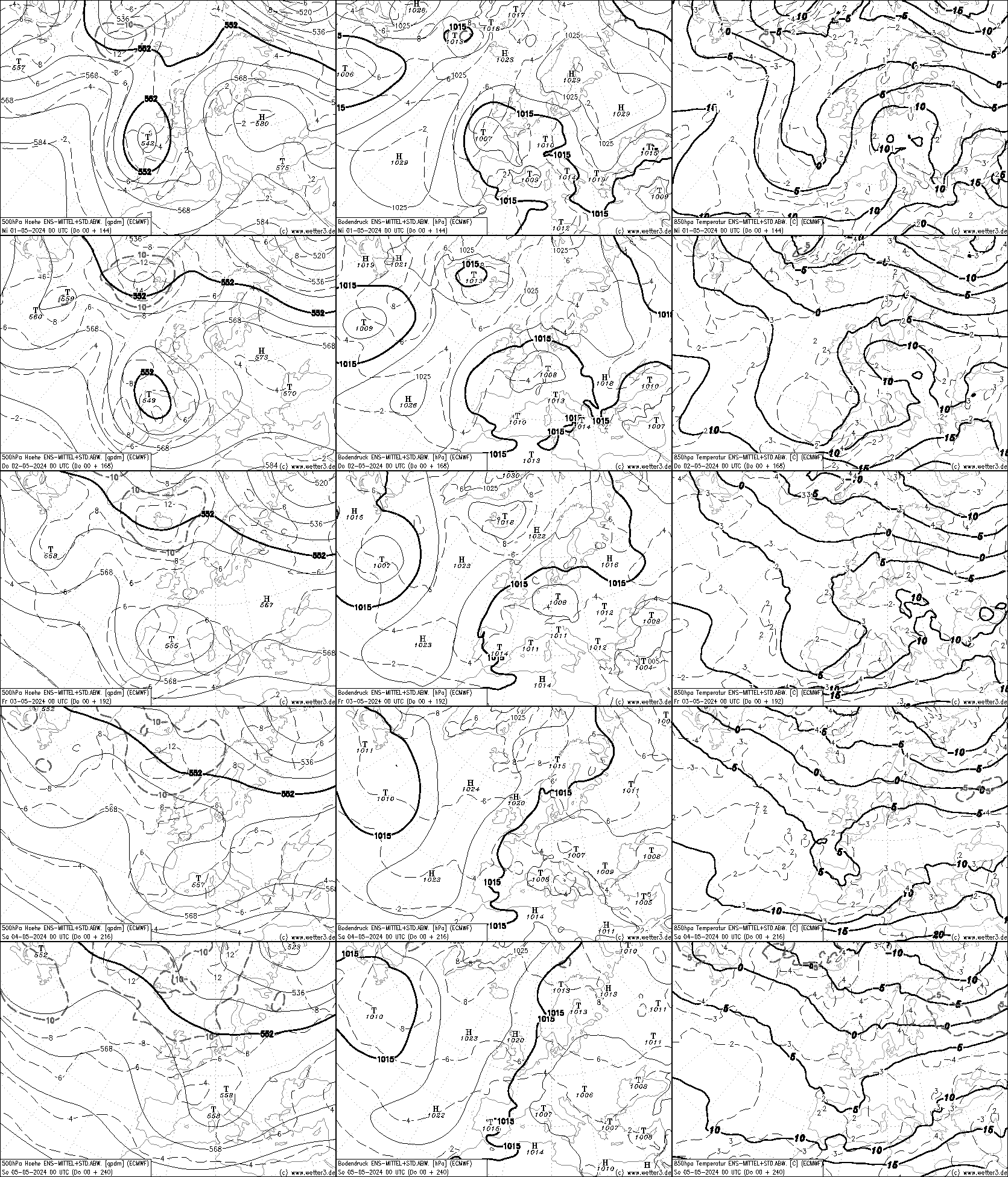
http://www2.wetter3.de/Fax/00_ECMWF_ENS_p0_500hPa+144_240.gif
i read the 8-14 dayer as "average unsettled" as opposed to the current and the 6-10 dayer "below average unsettled" ... losing the low pressure anomaly over us to something more neutral/slightly higher to me suggests average Summer weather, not overly wet, but not completly dry either with average temps...
-
5
-
1
-
1
-
-
5 minutes ago, Addicks Fan 1981 said:
The best 8-14 day CPC NOAA anomolies chart we have had for a long while.
Climate Prediction Center - 8-14 Day 500mb Outlook
WWW.CPC.NCEP.NOAA.GOVyes, they are tentatively starting to support the more progressive EPS , so an improvement might be on the cards before mid month
-
4
-
1
-


Model Output Discussion - Mid Summer Onwards
in Forecast Model Discussion
Posted
that charts isnt as good as it might first appear .... the contour lines are too close together, not wildly so, but they show westerly mobility meaning theres no chance of a large, strong, lasting high over us...
every model changes on a daily basis, the hovmoller goes out to a month ahead meaning they will change more.. its consistency we need before they can be taken too seriously more than 14 days ahead.