


NorthYorksWeather
-
Posts
2,917 -
Joined
-
Last visited
-
Days Won
2
Content Type
Forums
Blogs
Gallery
Events
Learn About Weather and Meteorology
Community guides
Posts posted by NorthYorksWeather
-
-
Wasn't it Wetterzentrale that correctly forecasted the cold snap in Dec 2010? Or was it Meteociel? Can't remember

-
1 hour ago, Mucka said:
Another interesting JMA 12z for coldies.
Should see that trough develop N/central Europe and an Atlantic ridge in the extended run so probably another chilly/cold run incoming.
Synoptically it looks great, but I cant help feel even if we did get a flow from the North or East similar to the chart you have posted that the uppers will still be too high for any low lying snow this early in the season.
Of course I hope I am wrong but I feel we will need to get a really cold pool across NE Europe if we are to benefit from any early season snowfall.
The main benefit we would see is a cooler Europe so if we see any reloads as we move towards December it may be game on
-
 3
3
-
-
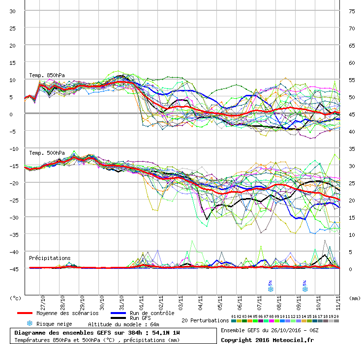
Looking at the 6z ensembles for my area it appears there is a strong support for a drop in upper 850s around the turn of the month after a mild end to October.
The mean is running roughly around 0c for the first 6/7 days of November which would suggest average to slightly below average depending on the exact synoptic's. After this there is a fair bit of spread so not even worth looking into.
Another thing to note is the lack of precipitation which is quite something for what is usually a mobile/wet time of year.
-
Narrowly missed out yesterday on our first air frost after a min of 0.2c, likely to be early November before we see one now.
-
9.7c to the 24th here, below average for the first time this month at 0.1c below the 1981-2010 average.
Another drop likely tonight before a rise towards November.
-
Clear skies here with patches of mist.
Temp 0.9c
-
-
9.9c here to the 22nd, 0.1c above 1981-2010 average. Looking like it may drop below average over the coming few days and will be interesting to see what it will finish on after the warm up later in the week.
-
Temps up and down through the night as light showers came in off the North Sea.
Rainfall at 0.4mm so far today and there was a gap between showers at 4am which led to the temp dropping to 4.8c.
Current Temp 6.6c
-
A mainly dry day with the odd light shower.
Max Temp 13.7c
Min Temp 8.3c
Current Temp 8.5c
Rainfall 1.4mm
-
Just wondering if anyone can help me out here.
I recently purchased the Davis Vantage Vue in hope for more accurate weather readings. I originally decided to forget wind speed recordings due to not been able to place the ISS in a suitable position and focus on accuracy for temp and rainfall. I therefore placed my station around 5ft off the ground in the centre of my back garden, which at this time of year is mostly sheltered from sunlight but still has a good flow of air running through it. Here's the original placement.
Readings have seemed OK and only slightly higher than neighbouring stations during the day that are a bit higher in elevation.
Then I decided last night I would try mounting it on the side of the shed, which would take it slightly above where you are supposed to have your thermometer but high enough to catch some good wind gusts as its fairly open from N across the SW. I was hoping it wouldn't affect my temperature accuracy and today has seemed OK however has seemed quite sensitive to direct sunlight on the ISS.
Heres the other set up.
So just wondering if I should keep it on the shed or put it back in a slightly more sun sheltered area.
We are moving house in the next few months and I am planning on eventually buying a VP2 anemometer to place high up to transmit to my Vue Console for accurate wind readings.
-
A dry bright start to the day.
Overnight min: 6.8c
Current temp: 11.1c
Dew: 8.3c
Pressure: 1020.9hpa and rising
-
Funny old day with a cool wet start and an overnight min of 7.1c.
The sun then came out in the morning with a max of 10.8c being reached at 12.42pm. Heavy rain then encroached from the NW where the temp dropped dramatically to 6c by 3pm.
Today's min was 5.6c around 6pm and the rainfall total for today is 7.4mm.
Current temp: 6.7c
-
10.2c to the 17th here.
0.4c above the 1981-2010 average.
-
I'm in the same position as you currently Will but I have mine placed at 4ft above the ground for accurate temp/rainfall readings, of course then my wind recordings are not even worth looking at.
I think my plan is to do what Reef posted a while back, and to buy a separate VP2 anemometer along with a transmitter for the Vue console to pick up on, there having my Vue ISS at 4ft above the ground and anemometer at 10m or so which is where you get the most accurate readings. This will probably set you back £200-300 though and obviously if you can afford it, it may be easier upgrading to the VP2.
-
1
-
-
Rain on and off here with 2mm so far, currently 7.8c and dropping steadily.
-
Sun is out here, temp responding accordingly at 12.9c which is the warmest temp for a few days now.
-
10 minutes ago, doctor32 said:
You must of been lucky then, as i have worked through shower after shower today. Bloody soaked this morning.
Shower activity seems to of moved northwards today, yesterday they were non stop but it's been mostly dry here today. Expecting temps to rise above average over the coming days but dropping again as we head into next week. Although this easterly has kept things realitvely cool the month average is slightly above due to the east wind stopping temps dropping too low on a night.
-
10.1c to the 13th here, 0.3c above the 81-10 average.
-
Currently 9.6c after an overnight low of 6.9c, bucketing down at moment 2.8mm since midnight.
-
North
York
Shire
-
3
-
-
9 hours ago, reef said:
Its a bit of a funny easterly for October this. Due to the high SSTs (above 15C for the most part direct to the east) and low 850hPa temperatures (around freezing right now), there's actually enough of gradient to give sunshine and showers by day and clear, calm and cool conditions by night here. Its actually quite similar to a 'cold' easterly in winter, rather than the usual grey layer of stratus. In fact, the first 10 days of October have managed half of the average monthly sunshine hours.
Unfortunately, as the wind veers south-east through the week and imports warmer air over a shorter sea track we'll actually see worse weather than now. One of those annoying incidences in the cooler months.
I noticed that yesterday, the cumulonimbus clouds and the wind chill almost made it feel like a convective winter easterly at times albeit with rain. Here the over the last few days we've been seeing maxs of around 12/13c and mins around 4/5c which has been below average and I've found it quite enjoyable as a weather enthusiast.
-
1
-
-
5 minutes ago, Ravelin said:
I'm a believer that 'local knowledge' is needed to interpret the 'computer generated' forecasts. For instance, I'm pretty sure that the forecasts for my village are really the forecasts for Dyce. There may only be 12 miles or so between them but that can make a couple of degrees difference at least between what the forecast shows for Kemnay and what we get in reality, primarily because it's 12 miles further inland from the coast. In the summer I can drive home from work in Dyce and it's a good 2 or 3 degrees warmer at home. In the winter the opposite is true, it's nearly always colder in Kemnay than in Dyce and it's not unusual for me to be clearing snow from the car in the morning only to get to work and there's no sign of any at all.
Nothing wrong as such with the forecasts, it's just that they are too 'course'.
The computer forecasts are useless, I usually knock a good 2/3 C off what the Met Office are predicting for my village when it comes to nighttime temps. Last night was a great example with 6c being forecast and we fell to 3.8c. 12 miles from Kemnay to Dyce is a long way in weather terms, I live in a village called Low Hutton (30-50m) which is 1 mile from High Hutton (70-80m) and in the 5 years I've lived here even I've noticed some temp/weather differences between the 2 villages. Only us weather freaks would notice this though
-
43 minutes ago, Matthew Wilson said:
The Jet Stream seems to have stopped for the weekend on the ECM as the Low hardly moves:
Quite like the look of those charts, sunshine and showers during the day and then the possibility for some cold night time minima under slack winds.
-
1
-


Saturday 29th October General Weather Chat
in Weather reports
Posted
Currently 14.4c and hazy sunshine after an unexpected low of 5.3c at 3am.