


The Eagle
-
Posts
2,080 -
Joined
-
Last visited
Content Type
Forums
Blogs
Gallery
Events
Learn About Weather and Meteorology
Community guides
Posts posted by The Eagle
-
-
1 minute ago, markw2680 said:
True I’d be completely amazed if it did flip back to cold but then again I wasn’t expecting such a big turn around when I woke this morning
You could make the argument that what I describe did happen on the main models, that's true. You can never rule anything out but I wouldn't be pinning any hopes on it.
-
3 minutes ago, Nick2373 said:
I’m screen shooting this comment because it’s priceless!! After a sudden flip overnight I’d wouldn’t bet my house on it.
I would... There is not going to be the scale of change required at 2 - 3 days on any model to really impact the Christmas weekend at this stage. I'm all for optimism but there just isn't.
-
 1
1
-
-
3 minutes ago, markw2680 said:
Not saying they will flip back at all but the way they suddenly all flipped light switching a light there’s still a chance they could flip back again either later on or in the morning, small chance but still a chance. I’d say the models are still not sure what’s going to happen
You're talking 48 to 72 hours out. Could it happen? I guess.
Will it? Keeping it real no, it won't at this stage. It would take something really remarkable.
-
1
-
-
1 minute ago, Blessed Weather said:
The ICON output on the 12z run on Sunday was pretty much in line what all the other models were showing for Xmas Day, so I'm not sure about your claims about the model "rock solid throughout" are fully justified?

100% justified. If you see what you want to see and ignore runs or models that don't offer confirmation you're going to get in to trouble. The charts you posted illustrate perfectly regarding ICON why it's so good but others too. Just not the "main" ones referenced here so often.
-
 1
1
-
-
2 minutes ago, Ali1977 said:
EC op vs mean at 120 - mean May still have some snowy ENS but it’ll be 1 or 2 that’s all!!
It's over. It really is. Don't put yourself through it again
-
2
-
-
2 minutes ago, snowstorm27x said:
It was still flip flopping about like a dodgy sandal on a beach.
But it wasn't. Sure, there were changes around the edges but it was rock solid throughout otherwise.
-
6 minutes ago, supernova said:
Quite the bust for cold this morning and anyone that says I told you so, frankly, can do one
Why? Some of us knew it was a bust long before. Which means it's not a bust to us.
-
2
-
1
-
-
1 minute ago, Kentish Snowman in Yorks said:
My comment was tongue in cheek. In reality I suspect its verification stats are no better if not worse than the major models. I'm sure it has its "days in the sun" but I don't think I will be ditching all the other output just yet!
For greater forecast accuracy we should just back whichever model shows the worst outcome for cold!
Not saying anyone should ditch anything, just take all data in to account.
-
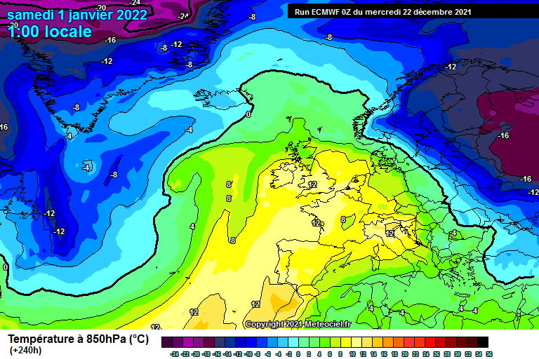
You'd be looking at max temps somewhere, between 16 and 18c there...
-
3
-
-
You could probably have an outdoor bbq on this
-
4
-
-
6 minutes ago, That ECM said:
The all conquering gfs. the point really is, sliders and easterlies t96 plus is jff.
spin the wheel again and let’s go chasing.
The all conquering ICON. Superb
-
1
-
-
Thoughts on the "cold spell" while watching the ECM come out...
-
1
-
-
And ECM 00z ends it completely, finished dead... It actually couldn't be any more dead.
-
3
-
-
The Japanese, a great bunch of lads...
-
9
-
-
ICON nailed this two days a go. Pity it was ignored by so many here for whatever reason.
UKMO/GFS this morning mark the end of any remaining hopes for Christmas weekend. Let's hope it won't be too long for more excitement
-
ICON 00z same as always.
It's great to see such consistency, unfortunately not the type we want.
-
To cheer things up a little I note the latest CFS 12z provides easterlies or northeasterlies through to January 6th...
-
3
-
-
Control run FWIW 850's (25th Saturday). 12z v 18z
-
3
-
-
I hope ICON gets the credit it should here because it has been absolutely consistent throughout as it has been many times since it was made available.
There is ICON above and latest UKMO above that today. Consistent for the last few days and that's where the other models have mostly been converging to. It's proving again to be really worthwhile following! I think it's really good
-
1
-
-
Don't do drug kids edit: image fixed
-
1
-
-
ECM to 120 is 'meh'. Synoptically OK, some potential if it evolves in later runs but temperature wise nothing noteworthy away from northeast England/Scotland.
We haven't really advanced toward more certainty today overall.
-
1
-
-
1 minute ago, Cold Winter Night said:
UKMO is out on Meteociel now.
96-120-144
Summed up...
-
3
-
-
4 minutes ago, Battleground Snow said:
Hmm ukmo looks a lot different from its overnight run, hard to tell from using wettezentrale but looks more of a South Easterly flow
Imagine we were presented with this chart from the UKMO...
Without knowing the temperature profile you'd be pretty disappointed on first look. Actually that GFS chart is a snow fest for some for a time.
-
1
-
-
ICON continues it's rock solid theme keeping the real cold air adrift over the Christmas weekend period and southerly/southeasterly winds entrenched for a time ahead of approaching low pressure. There is a bit of variability around the edges, and it may take some colder air further south by Monday, as always but we need to see a good bit more really in the not too distant future.
-
1
-


.png.acf815a12710cd2e186cf9968e73c467.png)
.png.f1b043dd70829b97e55099858dffb08f.png)

Model discussion - hunt for cold - Christmas countdown
in Forecast Model Discussion
Posted
No worries!
ICON 6z if anything pushing the cold air even further back over the weekend.