


.jpg.1c265e40f1140c1c42d4664436a516a3.jpg)
.jpg.dbaad4862138a0387087880eb0549a60.jpg)
Southern Storm
-
Posts
1,175 -
Joined
-
Last visited
-
Days Won
2
Content Type
Forums
Blogs
Gallery
Events
Learn About Weather and Meteorology
Community guides
Posts posted by Southern Storm
-
-
Just now, Sam jackson88 said:
just put this here
Wow, looks ominous
-
9 minutes ago, matt111 said:
Me too
Not expecting much here but I can live in hope.
The ecm did have something developing around now, so I'm hanging all my hopes on that.
Two small cells have just developed out in the channel so who knows.
One thing I will say is this, if the wind suddenly picks up big time, I'll let you know, that last time that happened was on July 3rd 2015! And we all know how that turned out, about 5 minutes after the wind had picked up that night, the first flashes were seen of what went on to become a supercell.
I can dream can't I ?

-
 3
3
-
-
I decided to take a drive to Barton on sea clifftop, very calm, hardly a breath of wind, calm before the storm maybe.
mid level instability passing over my location also

-
6
-
-
3 minutes ago, Allseasons-si said:
I don't know as i am just a storm fanatic that chases and take footage but i am sure the more knowledgeable folk will answer your question

That makes two of us, still a lot to learn when it comes to storms
-
10 minutes ago, Allseasons-si said:
Just running the sequence through and it looks like they are moving more NE instead of ENE,...mmm a lot more folk might be in with a chance this evening/tonight.
I was just about to post the same thing, are the steering winds expected to switch to more ENE direction as the evening draws on?
Nice little shower/cell out was also
-
I think the Southeast will start seeing their storms starting to fire into life in the next 30 minutes or so, radar just starting to come to life around the Cherbourg peninsula
-
2
-
 1
1
-
-
Just now, ChannelThunder said:
Sort of 10pm - 1am timeframe. They're scattered and between Dorset and Sussex generally to begin with. I still don't see anything actually happening because they just look like small showers, but you never know
Thanks buddy, so anywhere could be in with a shout.
This mini plume has not been easy to pin down has it, the hi Res models have been all of the place

-
2
-
-
2 minutes ago, ChannelThunder said:
Interesting to see the 12z ECM follows the Arome in breaking out some showers/storms for CS England tonight. Maybe there is some hope after all? Or maybe I'll still be looking at at empty radar come 11pm (still seems more likely the latter).
What time and which areas, I can't decide whether to go out or not, tomorrow is looking more interesting
-
3 minutes ago, chapmanslade said:
Currently in the Charente and a lot of elevated convection kicking off here. Cloudbase must be 5k ft or more. Had one out of the blue massive CG half an hour ago but plenty more to come this evening and through into Monday
Sea temperature will make no difference to this stuff, it is popping up new cells in Biscay as I write
Brilliant, thank you very much for the update, enjoy the storm!


-
1
-
-
Just now, Mapantz said:
UKV still looking crap for here.

Yeah, it's been uninspiring for these parts for a while, hopefully motherboard nature has an extra ace up her sleeve!
-
2
-
-
Just now, Jamie M said:
Not sure if the author of this website is on Netweather but the post they made about that storm has some fantastic pictures!
Supercell Thunderstorm Over Bournemouth - July 3rd, 2015 - WildSkies.co.uk
WWW.WILDSKIES.CO.UKThanks for sharing, looks very interesting.
-
11 minutes ago, ChannelThunder said:
Getting some solid Altocumulus Castellanus ahead of it here, although it's really hard to see against such a bright and hazy sky today.
Well spotted, they are also moving In a more northerly direction than I would have expected, but as Azazel said, they need fire much further west to bring central southern areas into play.
If these cells maintain and intensify, they should land somewhere between the IOW and Brighton, maybe slightly further east, what do you guys think?
-
14 minutes ago, offerman said:
I have always had an interest in sea temperatures, as they don’t seem to have generally changed too much over the decades around our part of the world in comparison to a hotter summers we are experiencing.
So it’s interesting with your observations today. I am really surprised that at this range is only 12 to 14 for mid june normally, but maybe with all the warm fine sunny weather we have had the sea has not mixed so much as it’s been stagnant and often flat as a pancake so warm up as opposed to drawing up colder temperatures from deeper down due to less water turbulence.
I think the warmest temperatures of the year for the channel would probably be around September October, or imagine due to the lag affect. So maybe this year could get to 21 or 22 down in the channel on the coasts? I wonder what the warmest of a water temperature around Bournemouth, Poole etc has beem.
I don't know what the sea temperature was back in September but I could swear I'd read they were running above normal, coincidence or not, we had some seriously good storms which were probably helped by all that extra energy from Warmer waters, it will be interesting to see if the same happens again as we transition to autumn.
-
1
-
-
1 minute ago, Tamsin said:
He'd better not! I'm working tomorrow. Just like I did last weekend during the widespread thunderstorms

Low end slights all round please!
Blasphemy

-
4
-
-
It's looking dire for Central southern coastal areas, and timings are also poor for nighttime storms with photography in mind
Is anyone in the above mentioned area thinking of chasing today or tomorrow?
Reasons I ask is I've tried chasing solo a few times, and it's been a disaster
I'm not prepared to be checking radar and updates while driving, which means by the time I get to my desired location I'm usually not in the best place.
If anyone is interested in teaming up please PM me, I'm happy to drive, and collect anyone on route to areas that have the best chances of storms.
Scott
-
3
-
1
-
-
- Popular Post
- Popular Post
1 hour ago, ResonantChannelThunder said:I remember it very well, probably my favourite plume event since I started photographing them. If I'm being nit-picky, it was July, not August
 Took these pics from Milford-on-Sea. When I drove back to Southampton at about 1-2am, I encountered the heaviest rain I have ever driven in, never quite seen anything like it! I was having to go at 10mph on the M27 when it was empty just to stay safe
Is the first photo you posted from July 18th? 2017 ?
The only reason I ask is because I took a similar photo of lightning coming down in roughly the same spot you said you were shooting that evening, but my photo was taken on the 10th of July 2015 looking south east from Mudeford quay
It was a dry storm and the bolts looked stupidly powerful!
-
15
-
 1
1
-
1 minute ago, Harry said:
Wow!!! You must of been buzzing - incredible photos. And yes it was July 2017, got the screen grabs on my phone. Was an awesome night
It was one of the events where just when you thought it was over, new cells would build right behind, it was amazing!
I'm off to France in August, it usually gives me my storm fix if things are quiet back in the UK.
-
4
-
-
- Popular Post
- Popular Post
21 minutes ago, ResonantChannelThunder said:I remember it very well, probably my favourite plume event since I started photographing them. If I'm being nit-picky, it was July, not August
Took these pics from Milford-on-Sea. When I drove back to Southampton at about 1-2am, I encountered the heaviest rain I have ever driven in, never quite seen anything like it! I was having to go at 10mph on the M27 when it was empty just to stay safe
Thank god for that, you are right July not August
I had a look back though my pictures and couldn't see anything for August 18th, I've been sat here wondering how I couldn't have captured anything
That first one of yours is
 all are great though! Well captured
So here are some I shot that evening.
-
18
-
I
8 minutes ago, Mapantz said:I hear ya.
I think a lot of that is down to timing, ie destabalization or forcing mechanism.
Anyone remember this?
One of my favourite radar images. 18th August 2017, circa 10pm.
I remember this one very well, "popcorn cells" just exploding almost out of nowhere, with some extremely close bolts, certainly to close to try and get pictures.
I'd take 10% of what we had that evening, it's been so poor this season.
-
2
-
-
20 minutes ago, LightningLover said:
Can't say I'm displeased with this signal!
Hopefully the models are being over progressive
As long as the UK doesn't miss out completely I'll be happy, we've seen too many storms head off east and everyone miss out.
I'm prepared to travel if necessary as I'm getting serious withdrawals now, especially after seeing so much great content of this week's thundery spell
-
1
-
-
Unfortunately I have some annoying cloud rolling in, which won't be a bid deal if nothing turns up
Looking at some of the euro webcams it looks like there is something but it's very low on the horizon, and with no real structure.
-
3
-
-
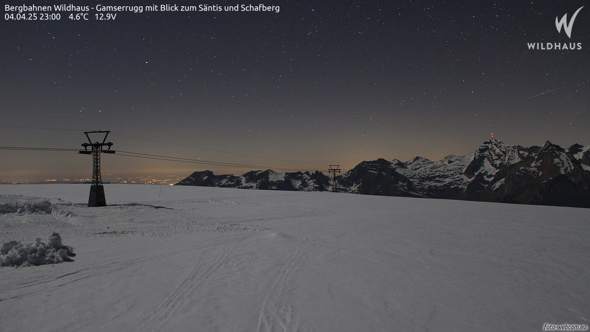
4 minutes ago, mushymanrob said:
nothing on any webcams yet, it is a bit early, but nothing.... viewed a lot...
Yeah I've also been looking, this is the only thing I can see that has a slight hint of NLC but too early to tell
Bergbahnen Wildhaus - Gamserrugg mit Blick zum Säntis und Schafberg - Foto-Webcam.eu
WWW.FOTO-WEBCAM.EUWebcam Bergbahnen Wildhaus - Gamserrugg mit Blick zum Säntis und Schafberg-
3
-
-
Well it looks like it wasn't to be today. Looking at the radar, a new cell has just popped up west of wimborne. You can see what it looks like from my perspective, just a load of Missy cloud, and you can also see what remains of the cell that's formed over Southampton. Looks impressive but again not much in it
-
5
-
-
6 minutes ago, Alderc said:
Cell over Southampton now
Here it is, I don't think it has much in it to be honest. Expecting it to fall apart fairly soon
-
2
-


.png.0af9c2b9ca95cbc0819ec13034b6b899.png)


Storms and Convective discussion - June 2023
in Storms & Severe Weather
Posted
It's about now I'm regretting my decision to stay home, you win some you lose some