


The Eagle
-
Posts
2,080 -
Joined
-
Last visited
Content Type
Forums
Blogs
Gallery
Events
Learn About Weather and Meteorology
Community guides
Posts posted by The Eagle
-
-
2 minutes ago, northwestsnow said:

-
 2
2
-
-
Just now, Weathizard said:
Not perfect but I prefer it to the icon because it looks cleaner, once again annoying we can’t see past this!
We don't have access to the jet profile on the UKMO. If it's taking a NW/SE track it's good from that point, if not...
-
- Popular Post
Just now, madmunch said:what time point generally do the experts on here start to believe is 'reliable' out of interest?
0 hrs.
-
18
-
3 hours ago, karlos1983 said:
And relax
Doesn't get any better than that
Looking forward to super charts in the coming weeks.
-
2
-
-
18 minutes ago, Ice Day said:
This is turning into a lovely run at 264... cheeky little low near the channel could usher in an easterly???
-
7
-
 1
1
-
-
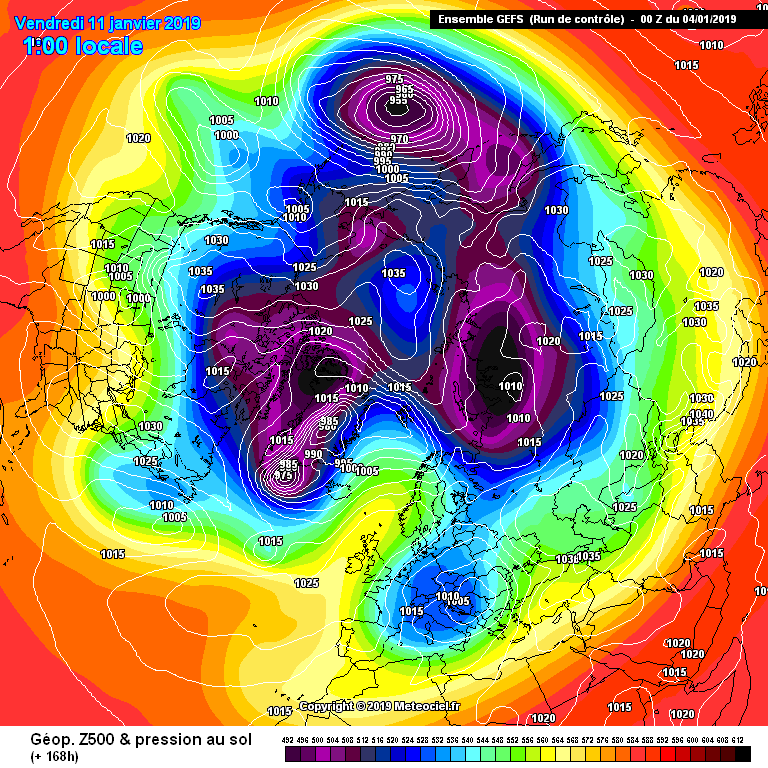
Snowy northwesterly on the control run
Then going northerly or northeasterly
-
5
-
1
-
-
Just now, booferking said:
FV3-GFS not available for the rest of the night hopefully back online tomorrow already it looks much better than it's older brother in the way of wild swings and better verification stats as for last GFS pub run straight for the bin night all things looking up again
I'd have thought the reliability of GFS availability may become more problematic the longer the Trump shutdown goes on...
-
2
-
-
3 minutes ago, ICE COLD said:
Well it ends well
Well, we'll certainly look forward to that.
-
1
-
-
Greece doing well again it seems
Don't read!
Snow closes schools in Athens. -23c recorded in Greece
https://www.rte.ie/news/newslens/2019/0108/1022016-greece-snow-cold/
-
2
-
1
-
-
*opens door*
*looks around* No change
Leaves
*closes door*
-
4
-
1
-
-
23 minutes ago, Mucka said:
Twist in the tale?
Funny thing is the ensembles are mostly better than the Op so not time to write anything off yet.
A good example is the control run V the Op
When the control differs so much from the Op it is time to take a step back and ponder life and its complexities.
-
Yup, gone backward this morning. UKMO not looking great really. Looks like the first attempt will fail but will there be a second that is the question.
-
2
-
-
8 minutes ago, karlos1983 said:
Go wash your mouth out lol
But all that beautiful clear Atlantic air...
I'm just sayin, it's on offer is all...
-
Wouldn't we all deep down rather return to an Atlantic dominated theme? It's more exciting.
Don't all rush to thank this post at once.
-
6
-
3
-
-
3 minutes ago, karlos1983 said:
Quote source
“Latest ECMWF Monthly output, in keeping with thoughts from various sub-seasonal forecast centres (incl. delaying colder risks until late Jan), sees significant height/SLP rises to the N/NW by late Jan on into early Feb. The outcome sees a mean NE'ly flow, with strong anomalies for below average temps across much of the UK (England especially) by late Jan. The signal is all the more compelling given lead time, but it's clear the model has likely reached some tipping point in terms of better assimilation of both SSW and MJO impacts (the latter now with more amplified phase 8). Nonetheless it provides only a broad sense of future direction for now, whilst operational models play catch-up and ultimately capture better detail and timeline.”
ask me no questions ill tell you No lies
-
1
-
-
The airmass is not that cold thanks to the bloated warm sector with the initial trough moving south.
You'd be talking mostly wintry showers rather than snow at low levels.
-
Small steps.
-
2
-
-
- Popular Post
- Popular Post
Good start from ICON.
Now GFS/UKMO
-
19
-
Close but no cigar on the GFS. UKMO pretty woeful. ICON excellent.
-
ICON quite keen on an easterly at the moment.
-
7
-
-
Too easy to topple. Progress though...still a long way to go.
-
More like the UKMO and ECM alright but probably everything a bit further east than the aforementioned so far.
-
Output overnight is a little soul destroying at this stage. There is little sign of the type of northerly latitude blocking we are going to need and retrogression of our high pressure to the northwest is inhibited by the northern arm of the jet consistently.
We are depending on some dramatic signal suddenly being picked up on the models in the next few days.
I don't think many of us are expecting much to change in the outlook in the near term.
Hopefully in the medium term we might get some joy from the recent SSW event but even then there is not guaranteed to be a reaction in our favor or any reaction at all for that matter.
Still, fingers crossed.
-
2
-
1
-
-
Never mind cold...some of these charts are starting to scream potential water problems down the road if we don't start getting these weather systems through.
After a long hot summer this is not good.
-
5
-


Model output discussion - 7th January onwards
in Forecast Model Discussion
Posted
Dangerously cold conditions potentially in to the northeast states of the United States