


frosty ground
-
Posts
4,589 -
Joined
-
Last visited
-
Days Won
1
Content Type
Forums
Blogs
Gallery
Events
Learn About Weather and Meteorology
Community guides
Posts posted by frosty ground
-
-
1 minute ago, mulzy said:
Indeed Nick - that's where my interest lies.
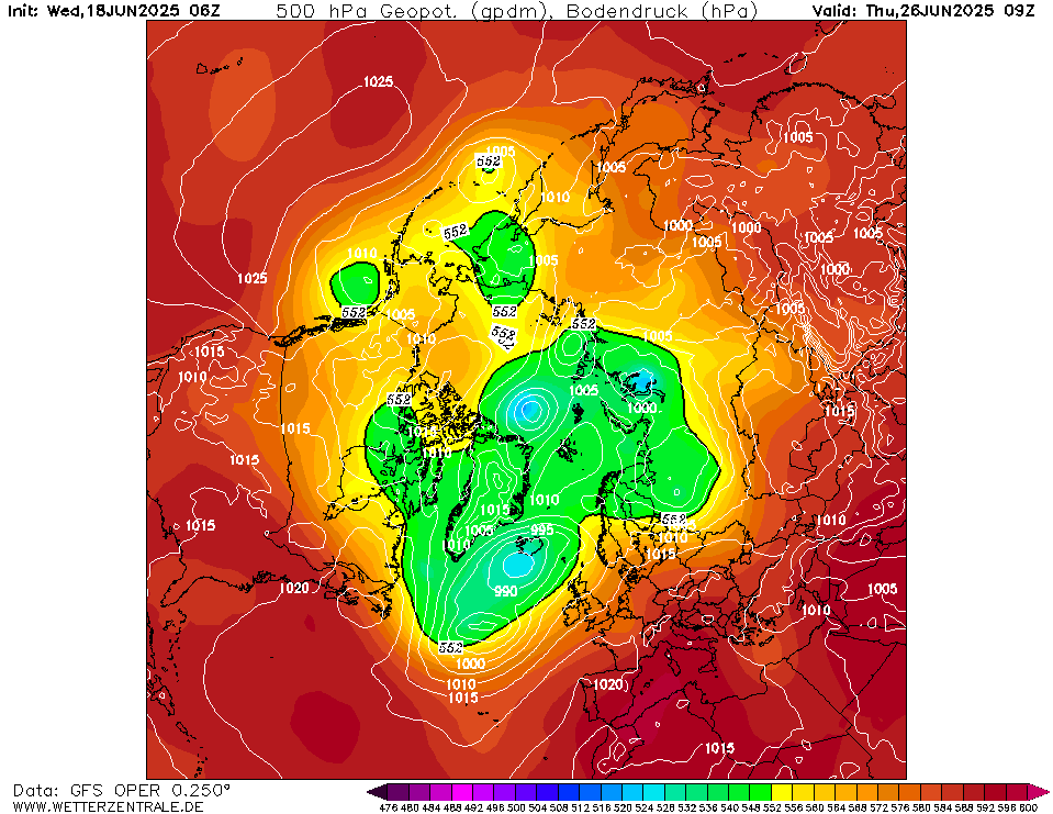
Day 9 chart not without interest.

No interesting charts until day 8.....
-
 1
1
-
-
Bigger Ridge in the Atlantic Uppers are now getting mixed out but its what follows that is of interest.-
3
-
-
Just now, Northern Sky said:
Strange because usually with these kind of situations you see the uppers becoming moderated the closer they get to reality. This run has actually upgraded the cold in a reasonably close timeframe. I'm not convinced as yet but interesting nonetheless
Not sure that's the case.... I think each situation is unique. Plenty of time the cold gets moderated only to regain strength near the time.
-
Still looking cold on the UK, but a more stable flow (no disturbances)
Plenty to look out for nearer the time. -
Looks like we are getting a runner on this.... A wave developing on the southern flank. -
By next Thursday according to the GFS 06z Run.... -
by 192 heights over the pole are positive and the PV is in pieces-
3
-
-
By the time we get to next wednesday.-
1
-
-
10 minutes ago, karlos1983 said:
I can’t be the only person that laughed out loud when reading this post!!! ???
the irony! Almost all of your posts are North West this, north west that, north west the other!
You shouldn’t throw stones in glass houses mate!
Mean still not to bad at 240 on ecm.
There is a reason NWS is stating NW Britain, and this may shock you...... He basically stating what the models show, its almost as if hes actually using this thread for its intended purpose.
-
7
-
 1
1
-
-
A north easterly would be nice
-
3
-
-
9 minutes ago, Banbury said:
I wouldn’t read too much into those , the Beeb hardly mentioned snow . I think GFS is overplaying the wintry ppn
Snow in the form of showers 5 days plus away and the BBC don't mention snow.... well thats shocking
-
2 minutes ago, feb1991blizzard said:
Compare 12z and 18z at 132, -6c and -4c isotherms clearly 50-100 miles further North.
Wow thats a nats private parts differene
looks awful
-
7 minutes ago, feb1991blizzard said:
Pattern further North already on 18z - downgrade coming on longjevity and uppers - more specifically how far south any decent uppers get.
When you posted this the GFS was out to about 84 hours and 48 hours away from the first signs of the colder weather.
The differene at 102 is almost non existent
-
1
-
-
What is being forcast next wrek is not your typical westerly it is cold from top to bottom and will kick of some serioulsy big and probably thundary showers.
-
2
-
-
5 minutes ago, Summer Sun said:
UKMO extended looks to have a similar flow to ECM
That wave could devlop into a real winter storm..... or if it stays shallow bring a lot of snow to the northern edge.
An interesting spell of weater is on offer.... even if the uppets arent snow makong there must be a possabillaty of some real heavy thundery showers.
-
Day 10
Much colder air over Europe on this attempt.-
2
-
-
The GFS 12Z Run is colder for longer
Vs06z
-
1
-
-
1 minute ago, feb1991blizzard said:
You cant tell exactly what they are but they are between -4 and -6c on UKMO, GFS are lower than -6c so could be a goer.
The GFS is below -6 for most
95% of the UK is under -5
UKM has a smaller area of -6 over northern England.-
4
-
-
5 minutes ago, feb1991blizzard said:
On the UKMO most definitely (which is what I am responding to), -4c is never enough to avoid marginality in a NW flow, you might be lucky if you live up the A672 or A62 at 1000ft but even for me and certainly for low ground in the North never mind in the South, so for the majority of habitable places yes - BTW I'm not saying that's the way it will turn out as you point out that the GFS is better, but I'm just saying what the UKMO model is saying.
The UKM is under -5 especially for the Greater Manchester area. Cold for for snow with elevation...... Plus any shower activity is going to pack a punch and drag temps down.
Also the reply you replied to quoted both GFS and UKM.-
1
-
-
1 minute ago, mulzy said:
For an Atlantic modified flow, that is rain for the vast majority I am afraid.
not in my back yard
-
2
-
-
1 minute ago, feb1991blizzard said:
Crap Uppers though.
Is it?
-
1
-
4
-
-
The GFS is sticking to its guns
As is the UKM-
1
-
-
6 minutes ago, knocker said:
And remember it's very important to keep the faith
CFS
-
Most if not all Ensembles dig the Low south east into Europe.
Some develop a wave/secondary low that creates the chances of some heavy snowfall.
-
6
-


 looks awful


 Day 10
 Vs
Vs 06z
06z
 95% of the UK is under -5


Model output discussion - mid-winter
in Forecast Model Discussion
Posted
Potential snow maker beyond 240, atlantic system moving into arctic air thats over the UK