


damianslaw
-
Posts
17,467 -
Joined
-
Last visited
-
Days Won
86
Content Type
Forums
Blogs
Gallery
Events
Learn About Weather and Meteorology
Community guides
Posts posted by damianslaw
-
-
I've been way out all year and never check any more what I went with. Expecting to be way out again, to my surprise I don't look to be too far off at 14.9 degrees, but unlike the rest of year look to be higher.
-
 1
1
-
-
Entering the time of year when you are not sure how best to dress so to speak. I wore my warm winter raincoat today as there was a distinct nip in the air, but un the sunshine it way too warm to wear, but under the showers it was fine.. until November its often a case of should I wear my warm rain coat or lighter one.
-
9
-
-
9 hours ago, Don said:
This was what I was alluding to in my earlier post.
As far as Siberian snow cover goes, it has got off to a good start!
2012 was the last year when a sudden late Oct snow expansion west backed up the theory such events correlate with colder conditions in Europe, alas winter 12-13 was never very severe and very episodic, the real cold came late in March.
I think its the rate of expansion second half of Oct the key factor, not growth in September.
-
3 hours ago, Don said:
Met Office Contingency Forecast has updated for October, November and December. Temperatures and precipitation expected to be close to average overall.
Very average then, in a rather non-average year so far, warmth and dry have ruled.. so it suggests the jetstream will finally dominate things..
-
13 hours ago, Don said:
I understand this has happened a lot in recent years but the PV has then ramped up to very strong levels come early winter?
Yes recently we've seen a very slow PV formation in November and start of Dec, only for a switch to be turned on and in no time its on turbo charge it seems.
-
1
-
-
Quite a lengthy part of the day Ive needed electric heater on. Without, its dropping down to 15 degrees. Its probably more expensive than gas central heating..
-
2
-
-
Yes a few more spots may record their first ground frost early hours tomorrow or Wednesday. No signs of first nationwide air frost on the horizon, but many a year it takes until November.
The tipping point here tends to be third week of Oct, when clear skies can easily bring one even if uppers are not especially cold, just too early now, you need relatively cold uppers.
-
Nothing overly mild on the way next 4 days, indeed cool for late September. My guess is 0.2 drop tomorrow, then a further 0.3-0.4 drop until 30th. A good bet a finish of 14.6 degrees.
-
20 minutes ago, minus10 said:
Yes indeed the 12z is continuing with the theme if not more so...

Incredible as today really felt like Autumn....fresh and cool with some rain...12z still showing decent dollop of rain on Friday/Saturday though...
However the associated low that was for a while being signalled to be much nearer or over north of the uk is now further north as high pressure to the sw is quickly re asserting itself after..
Ens for this area showing the temp rise next week with the mean climbing above +5 850s..
Prec spike for this area for this weekend sticks out like a saw thumb in an otherwise fairly dry story..
So after a brief spell where Autumn makes an appearance, could it be quickly replaced with Autumnal summer?...in other words for this year business as usual...
 🌡
🌡
Not if the 12z is to be believed. Yes it brings in the azores high pulling in some milder uppers, but it unusually ridges it through the UK and we then see northern blocking and low pressure over the UK on a southerly jet. GFS not renowned for showing such evolution. Could be an outlier but interesting all the same.
-
4
-
-
4 hours ago, CreweCold said:
Yes it does with the jet stream just flowing over the top of it.
That’s ok in October but it’s not something we want to see entrench for November onwards.
Unless it ridges sufficently north, the azores high lingering to our SW in October usually equates to very dull damp conditions here. Hopefully it moves into a place that brings clearer skies.
-
5
-
-
The pattern we've been in largely since Dec 2020, holds firm, shortlived unsettled spells around the weekly mark, longer more so further north in duration interspersed by lengthier settled spells upwards of 10 to 14 days, longer more so further south has been a repeat. Once again about to go into one of those unsettled spells, with settled quickly returning.. how long for we shall see, perhaps they may even out in duration as we move through Autumn, hard to sustain settled weather 2 weeks or more in Oct and Nov, probably more so than any other months, by Dec cold blocking highs can hold sway.
-
7
-
-
A chilly day, current temp 12.4 degrees.
-
7
-
-
May be one of those months with a classic downslope from start to finish with no upturns.
-
A chilly unsettled end to September on the cards. Definately an autumnal look to things. As we move into October models show a trend to more settled with the cool polar airstream cut off. All in all very typical conditions for the time of year.
The jetstream has more oomph to it right now but much of the reason for this down to the behaviour of ex tropical storm systems, and we are far from a zonal outlook.
-
3
-
 1
1
-
-
2 hours ago, Roger J Smith said:
EWP update, current value around 65 mm (62.5 mm to 22nd). Looks to add 10-12 mm grid average, to end up 75-77 mm.
CET estimate 14.5 due to some very cool readings Tues-Wed, not all that warm other days either.
An average of 10 for seven days (24-30) would leave the CET at 14.2 C. I think it will be closer to 11 for an average which leaves it closer to 14.5.
A mean between 10 and 11 would be quite a notable cold end to the month
-
Quite a decent weekend ahead, perhaps a bit showery tomorrow, but plenty of dry bright weather. Make the most of it, we will soon have to become used to such conditions being rather a bit too chilly to linger too long outside not doing much.
-
7
-
-
8 hours ago, Don said:
There was settling snow as far south as the home counties, up to two inches, even London had a dusting!
A cold snap in late October always pricks my attention and speculation. 2000, 2008, 2010 and 2012 all produced low level snow in parts of the north from northerlies, and the following winters all brought some decent or very cold conditions.
Conversely the normal wet mild weather we experience in late October has more often than not been followed by mild wet winters. Probably one or two exceptions to this.
More recently we've had a few cold spells in November, apart from 2008, 2010 and to an extent 2017 these haven't been followed by cold winters. Last winters cold end to Nov a case in point, 2016 also.
-
Bridgefoot wettest place yesterday 35mm NW Cumbria. Suspect the fells saw much more than that.
-
7
-
-
1 hour ago, Weather Enthusiast91 said:
Quite a nice pleasant early autumn day today for my neck of the woods - 18 Celsius, mostly sunny with a few scattered clouds and a nice gentle autumnal breeze.
Nonetheless, I am still looking forward to the change in weather from tomorrow onwards. Looks like it's going to get very autumnal with the cooler days and chilly misty nights. The 20+ Celsius days are certainly well behind us now and there doesn't appear to be any Indian Summers on the horizon which is good.
We've turned the corner, I feel. Yes October can still bring 20+plus days but they feel as warm as equivalent days in late Feb- mid March, and therefore not summery.
We are entering the most rapid transitional period of the year, which peaks late October.. rapid light loss, rapid sun strength loss.. the countdown of such change has started.
-
4
-
-
Freezing levels set to drop below 1000m early new week, snowline could well be as low as 800m by Tuesday on Scottish Highlands.
-
3
-
-
A finish in the mid to high 14s quite likely.
-
46 minutes ago, Kirkcaldy Weather said:
If there are any people that are new to watching the models hopefully this post can help with understanding a few bits, often weather systems downstream can have a big role in the weather upstream which is what we see in the short term.
Hurricane fiona now in the process of the phasing that I mentioned and likely she'll be the lowest pressure ever recorded in Canada.
here I've marked the movement of Fiona and how that then promotes the ridge which allows the low to the north to move south with the cooler air.
There's a warm sector just ahead of the cold front as I've marked here
the coldest of the air gradually fizzling out but low pressure the overall dominating feature so showers and a cooler feel which is pretty fitting to the season of Autumn

Also just wanted to say,I've seen the word 'zonal' begin to show up in here which isn't really accurate for any of the current output, go back and look at the charts from winter 2013/14 the barrage of storms that's a true zonal pattern

Agree, it looks more cyclonic than zonal.
-
An autumnal start. After the heavy rain of yesterday there is much dampness and wet in the atmosphere, clear skies during the night and a polar airstream have combined to provide ideal conditions for mist to form.
Chilly clear blue sky start to the day. Can we say Autumn has officially started? Yes we can!
-
8
-
-
My calandar states its Autumn tomorrow. A cold northerly forecast early in the new year, quite likely to bring snowfall to highest scottish hills. Nothing too unusual about that.
The Lakeland fells typically have to wait until late October for their first dusting.
Use this thread to post snow level lines, depths on our mountains.
-
4
-
1
-


.png.597465864791a756cbd3554350ad62bb.png)
.png.02ab0e4a02732bbc780b2cb2bbffa745.png)
.png.98ee638a0d65096683b0443c795e0c53.png)


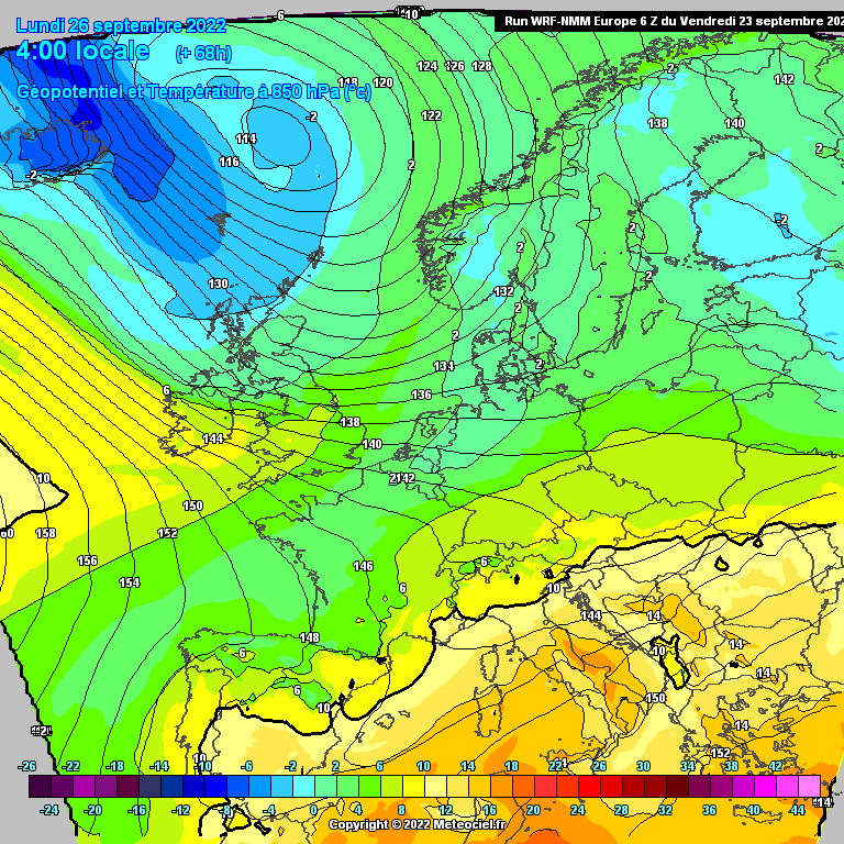

Model Output Discussion - Autumn arrives
in Forecast Model Discussion
Posted
Not commenting much on the models at present, namely because it all looks very average and typical for the time of year, cooler wetter spells interspersed with milder calmer ones. Mind not been able to say very average much this year.